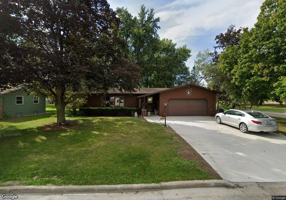
941 Mayer Ln Mayville, WI 53050
Estimated Value: $234,000 - $336,000
2
Beds
3
Baths
1,888
Sq Ft
$154/Sq Ft
Est. Value
About This Home
This home is located at 941 Mayer Ln, Mayville, WI 53050 and is currently estimated at $291,471, approximately $154 per square foot. 941 Mayer Ln is a home located in Dodge County with nearby schools including Parkview Elementary School, Mayville Elementary School, and Mayville Junior/Senior High School.
Ownership History
Date
Name
Owned For
Owner Type
Purchase Details
Closed on
Aug 20, 2020
Sold by
Zehms Roger R and Zehms Kay L
Bought by
Greussing Randall M and Greussing Karen S
Current Estimated Value
Home Financials for this Owner
Home Financials are based on the most recent Mortgage that was taken out on this home.
Original Mortgage
$176,540
Outstanding Balance
$156,603
Interest Rate
3%
Mortgage Type
New Conventional
Estimated Equity
$134,868
Purchase Details
Closed on
Dec 29, 2010
Sold by
Hennig John and Hennig Barbara
Bought by
Zehms Roger R and Zehms Kay L
Home Financials for this Owner
Home Financials are based on the most recent Mortgage that was taken out on this home.
Original Mortgage
$112,000
Interest Rate
4.44%
Mortgage Type
New Conventional
Create a Home Valuation Report for This Property
The Home Valuation Report is an in-depth analysis detailing your home's value as well as a comparison with similar homes in the area
Home Values in the Area
Average Home Value in this Area
Purchase History
| Date | Buyer | Sale Price | Title Company |
|---|---|---|---|
| Greussing Randall M | $186,000 | Guaranty Title Services Inc | |
| Zehms Roger R | $140,000 | -- |
Source: Public Records
Mortgage History
| Date | Status | Borrower | Loan Amount |
|---|---|---|---|
| Open | Greussing Randall M | $176,540 | |
| Previous Owner | Zehms Roger R | $112,000 |
Source: Public Records
Tax History Compared to Growth
Tax History
| Year | Tax Paid | Tax Assessment Tax Assessment Total Assessment is a certain percentage of the fair market value that is determined by local assessors to be the total taxable value of land and additions on the property. | Land | Improvement |
|---|---|---|---|---|
| 2024 | $3,510 | $222,600 | $28,000 | $194,600 |
| 2023 | $3,407 | $222,600 | $28,000 | $194,600 |
| 2022 | $332 | $222,600 | $28,000 | $194,600 |
| 2021 | $293 | $135,000 | $26,000 | $109,000 |
| 2020 | $3,073 | $135,000 | $26,000 | $109,000 |
| 2019 | $3,024 | $135,000 | $26,000 | $109,000 |
| 2018 | $3,038 | $135,000 | $26,000 | $109,000 |
| 2017 | $3,099 | $135,000 | $26,000 | $109,000 |
| 2016 | $2,864 | $135,000 | $26,000 | $109,000 |
| 2015 | $3,142 | $135,000 | $26,000 | $109,000 |
| 2014 | $3,296 | $135,000 | $26,000 | $109,000 |
Source: Public Records
Map
Nearby Homes
- Lt2 S Clark St
- 274 S Walnut St
- 502 Janssen Ave
- 329 Grove St
- 318 Brookside Dr Unit 1
- 1155 Breckenridge St
- 326 Brookside Dr Unit 6
- 117 Taylor St
- 725 Green Bay Dr
- Lt1 Hi View Ct
- N9234 Dohrman Rd
- W4069 Raasch Hill Rd
- 300 Birchcrest Rd
- 401 N Hubbard St
- 406 N Hubbard St
- 101 Valley St
- N6436 County Road Tw
- 121 Juneau St
- 5.06 acres County Rd E
- N10035 N Bluemound Rd