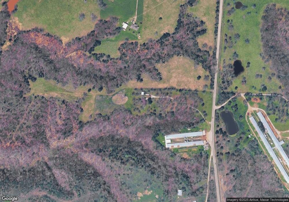
9425 N Highway 43 Maysville, AR 72747
Estimated Value: $439,000 - $741,000
--
Bed
2
Baths
2,216
Sq Ft
$254/Sq Ft
Est. Value
About This Home
This home is located at 9425 N Highway 43, Maysville, AR 72747 and is currently estimated at $562,948, approximately $254 per square foot. 9425 N Highway 43 is a home located in Benton County with nearby schools including Glenn Duffy Elementary School, Gravette Upper Elementary School, and Gravette Middle School.
Ownership History
Date
Name
Owned For
Owner Type
Purchase Details
Closed on
Mar 19, 2014
Sold by
Bunch Wendell L and Bunch Janice M
Bought by
Bowers Mike and Bowers Arlene
Current Estimated Value
Purchase Details
Closed on
Jul 12, 2006
Sold by
Bunch Wendell and Bunch Janice
Bought by
Nichols Kent and Nichols Becky
Purchase Details
Closed on
Mar 9, 2000
Bought by
Bunch Bunch M and Bunch 84Ac
Purchase Details
Closed on
May 25, 1999
Bought by
Walker 20 and Walker 73Ac
Purchase Details
Closed on
Jul 22, 1996
Bought by
Bunch
Purchase Details
Closed on
Apr 4, 1988
Bought by
Bunch
Purchase Details
Closed on
Apr 24, 1978
Bought by
Reynolds
Purchase Details
Closed on
May 2, 1974
Bought by
Reed
Create a Home Valuation Report for This Property
The Home Valuation Report is an in-depth analysis detailing your home's value as well as a comparison with similar homes in the area
Home Values in the Area
Average Home Value in this Area
Purchase History
| Date | Buyer | Sale Price | Title Company |
|---|---|---|---|
| Bowers Mike | $187,000 | Rtc | |
| Nichols Kent | $267,000 | Lenders Title Company | |
| Bunch Bunch M | -- | -- | |
| Walker 20 | $425,000 | -- | |
| Bunch | -- | -- | |
| Bunch | $22,000 | -- | |
| Reynolds | -- | -- | |
| Reed | -- | -- |
Source: Public Records
Tax History Compared to Growth
Tax History
| Year | Tax Paid | Tax Assessment Tax Assessment Total Assessment is a certain percentage of the fair market value that is determined by local assessors to be the total taxable value of land and additions on the property. | Land | Improvement |
|---|---|---|---|---|
| 2025 | $1,848 | $81,361 | $8,691 | $72,670 |
| 2024 | $1,795 | $81,361 | $8,691 | $72,670 |
| 2023 | $1,875 | $57,280 | $2,460 | $54,820 |
| 2022 | $1,520 | $57,280 | $2,460 | $54,820 |
| 2021 | $1,430 | $57,280 | $2,460 | $54,820 |
| 2020 | $1,351 | $36,860 | $1,650 | $35,210 |
| 2019 | $1,351 | $36,860 | $1,650 | $35,210 |
| 2018 | $1,376 | $36,860 | $1,650 | $35,210 |
| 2017 | $1,284 | $36,860 | $1,650 | $35,210 |
| 2016 | $1,284 | $36,860 | $1,650 | $35,210 |
| 2015 | $1,893 | $42,720 | $980 | $41,740 |
| 2014 | $1,543 | $42,720 | $980 | $41,740 |
Source: Public Records
Map
Nearby Homes
- 24530 Coon's Hollow Rd
- 10604 Arkansas 43
- 0 W Mountain Rd Unit 1318276
- 21897 E 458 Rd
- 24530 & 24540 Coon's Hollow Rd
- 0 Tucker Rd
- 24530 & 24540 Coon Hollow Rd
- 23775 Carlton Dr
- 0 Carlton Dr Unit 1312560
- 10918 Blue Bird Rd
- 40ac Tucker Rd
- . Tucker Rd
- TBD Georgia Flat Rd
- 22842 Carlton Dr
- 0 Arkansas 43
- 11228 Benson Rd
- 0 Arkansas 43
- 22083 W Mountain Rd
- . Arkansas 43
- 0003 Colcord Rd