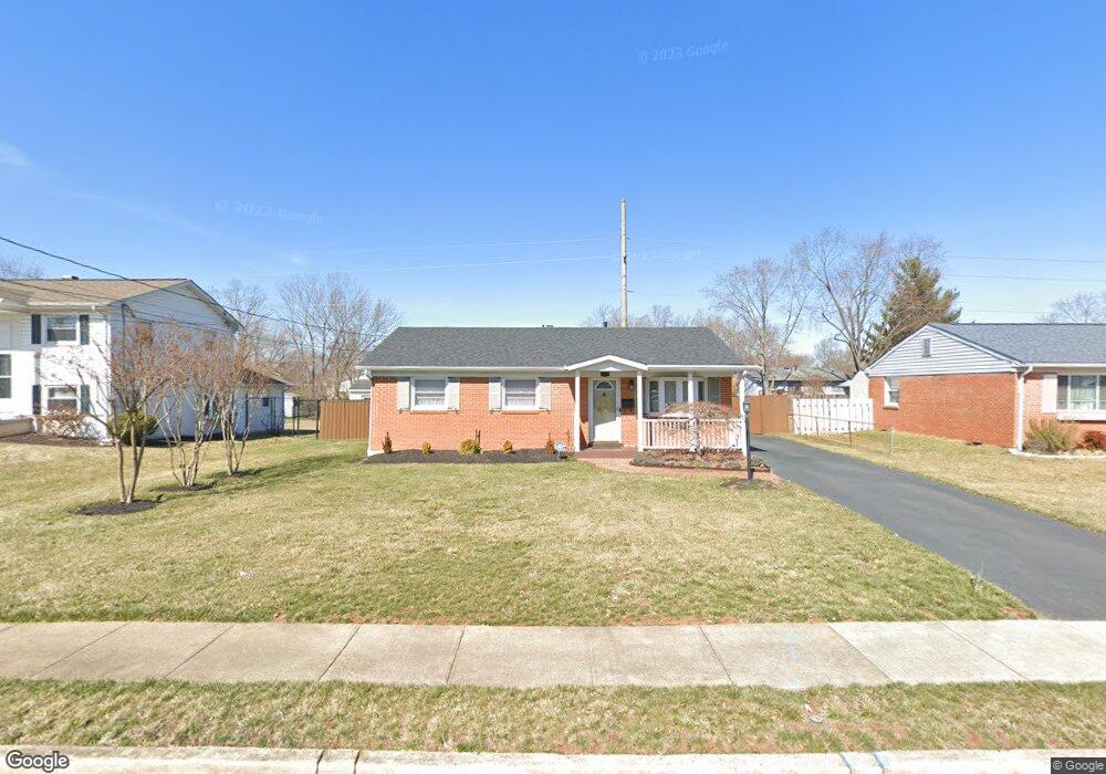
9428 King George Dr Manassas, VA 20109
Estimated Value: $503,276 - $543,000
3
Beds
2
Baths
1,665
Sq Ft
$317/Sq Ft
Est. Value
About This Home
This home is located at 9428 King George Dr, Manassas, VA 20109 and is currently estimated at $528,069, approximately $317 per square foot. 9428 King George Dr is a home located in Prince William County with nearby schools including Sudley Elementary School, Unity Braxton Middle School, and Unity Reed High School.
Ownership History
Date
Name
Owned For
Owner Type
Purchase Details
Closed on
Mar 31, 2000
Sold by
Bentz Timothy W
Bought by
Devaughn Willetta C
Current Estimated Value
Home Financials for this Owner
Home Financials are based on the most recent Mortgage that was taken out on this home.
Original Mortgage
$139,878
Outstanding Balance
$48,163
Interest Rate
8.3%
Estimated Equity
$479,906
Create a Home Valuation Report for This Property
The Home Valuation Report is an in-depth analysis detailing your home's value as well as a comparison with similar homes in the area
Home Values in the Area
Average Home Value in this Area
Purchase History
| Date | Buyer | Sale Price | Title Company |
|---|---|---|---|
| Devaughn Willetta C | $140,000 | -- |
Source: Public Records
Mortgage History
| Date | Status | Borrower | Loan Amount |
|---|---|---|---|
| Open | Devaughn Willetta C | $139,878 |
Source: Public Records
Tax History Compared to Growth
Tax History
| Year | Tax Paid | Tax Assessment Tax Assessment Total Assessment is a certain percentage of the fair market value that is determined by local assessors to be the total taxable value of land and additions on the property. | Land | Improvement |
|---|---|---|---|---|
| 2025 | $4,514 | $467,100 | $140,900 | $326,200 |
| 2024 | $4,514 | $453,900 | $129,900 | $324,000 |
| 2023 | $4,345 | $417,600 | $111,800 | $305,800 |
| 2022 | $4,710 | $415,000 | $111,800 | $303,200 |
| 2021 | $4,554 | $371,200 | $101,600 | $269,600 |
| 2020 | $5,445 | $351,300 | $101,600 | $249,700 |
| 2019 | $5,050 | $325,800 | $101,600 | $224,200 |
| 2018 | $3,858 | $319,500 | $101,600 | $217,900 |
| 2017 | $3,851 | $310,100 | $91,700 | $218,400 |
| 2016 | $3,847 | $312,800 | $91,700 | $221,100 |
| 2015 | $3,050 | $285,700 | $83,200 | $202,500 |
| 2014 | $3,050 | $240,900 | $70,400 | $170,500 |
Source: Public Records
Map
Nearby Homes
- 9613 King George Dr
- 9732 Copeland Dr
- 7812 Amherst Dr
- 7726 Amherst Dr
- 9724 Copeland Dr
- 7703 Amherst Dr
- 7723 Appomattox Ave
- 118 Mace St
- 7608 Bland Dr
- 9405 Blackstone Rd
- 186 Lambert Dr
- 8333 Gaither St
- 7530 Campbell Ct
- 8310 Rolling Rd
- 7823 Brookview Ct
- 7832 Brookview Ct
- 319 Moseby Ct Unit E
- 8334 Shady Grove Cir
- 7601 Bull Run Rd
- 7518 Quail Run Ln
- 9426 King George Dr
- 9430 King George Dr
- 9525 Bonair Dr
- 9424 King George Dr
- 9527 Bonair Dr
- 9432 King George Dr
- 9523 Bonair Dr
- 9429 King George Dr
- 9431 King George Dr
- 7611 Dublin Dr
- 9427 King George Dr
- 9521 Bonair Dr
- 7705 Dublin Dr
- 9425 King George Dr
- 9420 King George Dr
- 9423 King George Dr
- 9519 Bonair Dr
- 7707 Dublin Dr
- 7702 Dublin Dr
- 9300 Greenview Ln