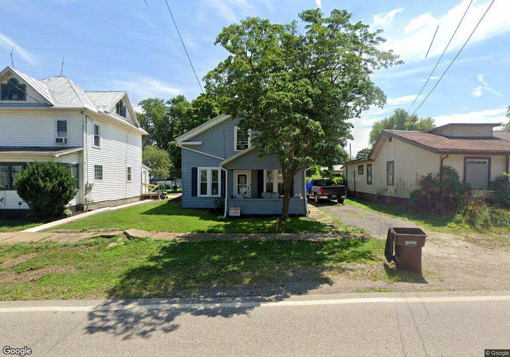
943 State Route 58 Ashland, OH 44805
Estimated Value: $137,957 - $214,000
4
Beds
1
Bath
1,713
Sq Ft
$101/Sq Ft
Est. Value
About This Home
This home is located at 943 State Route 58, Ashland, OH 44805 and is currently estimated at $173,239, approximately $101 per square foot. 943 State Route 58 is a home with nearby schools including Mapleton Elementary School, Mapleton Middle School, and Mapleton High School.
Ownership History
Date
Name
Owned For
Owner Type
Purchase Details
Closed on
Mar 23, 2022
Sold by
Tanner Perry and Tanner Cheryl
Bought by
Burgess Cody M
Current Estimated Value
Home Financials for this Owner
Home Financials are based on the most recent Mortgage that was taken out on this home.
Original Mortgage
$137,365
Outstanding Balance
$128,006
Interest Rate
3.69%
Mortgage Type
FHA
Estimated Equity
$45,233
Purchase Details
Closed on
Nov 24, 2004
Sold by
Brown David J
Bought by
Denton Peter Graham
Purchase Details
Closed on
Feb 2, 1987
Bought by
Brown David J
Create a Home Valuation Report for This Property
The Home Valuation Report is an in-depth analysis detailing your home's value as well as a comparison with similar homes in the area
Home Values in the Area
Average Home Value in this Area
Purchase History
| Date | Buyer | Sale Price | Title Company |
|---|---|---|---|
| Burgess Cody M | $250 | New Title Company Name | |
| Burgess Cody M | $250 | New Title Company Name | |
| Denton Peter Graham | $12,900 | -- | |
| Brown David J | $19,900 | -- |
Source: Public Records
Mortgage History
| Date | Status | Borrower | Loan Amount |
|---|---|---|---|
| Open | Burgess Cody M | $137,365 | |
| Closed | Burgess Cody M | $137,365 |
Source: Public Records
Tax History Compared to Growth
Tax History
| Year | Tax Paid | Tax Assessment Tax Assessment Total Assessment is a certain percentage of the fair market value that is determined by local assessors to be the total taxable value of land and additions on the property. | Land | Improvement |
|---|---|---|---|---|
| 2024 | $992 | $30,030 | $3,310 | $26,720 |
| 2023 | $992 | $30,030 | $3,310 | $26,720 |
| 2022 | $914 | $24,030 | $2,650 | $21,380 |
| 2021 | $916 | $24,030 | $2,650 | $21,380 |
| 2020 | $853 | $24,030 | $2,650 | $21,380 |
| 2019 | $637 | $17,410 | $2,720 | $14,690 |
| 2018 | $668 | $17,410 | $2,720 | $14,690 |
| 2017 | $675 | $17,410 | $2,720 | $14,690 |
| 2016 | $611 | $15,830 | $2,470 | $13,360 |
| 2015 | $588 | $15,830 | $2,470 | $13,360 |
| 2013 | $778 | $20,070 | $2,380 | $17,690 |
Source: Public Records
Map
Nearby Homes
- 900 County Road 801
- 885 State Route 58
- 829 County Road 801
- 1173 Township Road 753
- 99 Harold Dr
- 95 Harold Dr
- 32 Terrace Dr
- 16 Terrace Dr
- 67 Harold Dr
- 3 Terrace Dr
- 1191 State Route 511
- 1520 Orange Rd Unit 22
- 1520 Orange Rd
- 0 Westlake Dr
- 1438 Peachtree Dr
- 1471 Troy Rd
- 686 County Road 1302
- 945 Virginia Ave
- 796 1101
- 410 E 9th St
- 945 State Route 58
- 947 State Route 58
- 949 State Route 58
- 939 Ohio 58
- 939 State Route 58
- 946 Ohio 58
- 951 Ohio 58
- 938 Township Road 783 Unit 783
- 938 Township Road 783
- 948 Township Road 783
- 948 State Route 58
- 806 State Route 302
- 938 Twp Rd 783
- 940 State Route 58
- 975 Township Road 783
- 950 State Route 58
- 939 Township Road 783
- 938 State Route 58
- 796 State Route 302
- 808 State Route 302