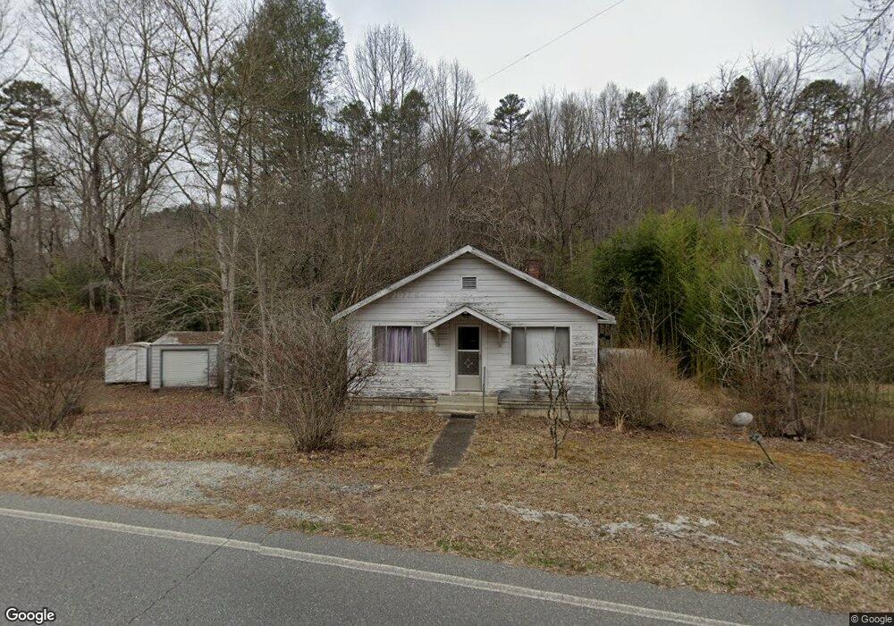
9461 Lower Alarka Rd Bryson City, NC 28713
Estimated Value: $214,000 - $300,000
3
Beds
1
Bath
1,000
Sq Ft
$247/Sq Ft
Est. Value
About This Home
This home is located at 9461 Lower Alarka Rd, Bryson City, NC 28713 and is currently estimated at $247,063, approximately $247 per square foot. 9461 Lower Alarka Rd is a home located in Swain County with nearby schools including Swain County Middle School, Swain County West Elementary School, and Swain County High School.
Ownership History
Date
Name
Owned For
Owner Type
Purchase Details
Closed on
Jul 8, 2021
Sold by
Greene Jessica Morgan Winchester
Bought by
Greene Vance W
Current Estimated Value
Purchase Details
Closed on
Aug 7, 2020
Sold by
Greene Vance W and Greene Katherine T
Bought by
Greene Vance W and Greene Morgan W
Create a Home Valuation Report for This Property
The Home Valuation Report is an in-depth analysis detailing your home's value as well as a comparison with similar homes in the area
Home Values in the Area
Average Home Value in this Area
Purchase History
| Date | Buyer | Sale Price | Title Company |
|---|---|---|---|
| Greene Vance W | -- | None Available | |
| Greene Vance W | -- | None Available | |
| Laws Michael L | -- | None Available |
Source: Public Records
Tax History Compared to Growth
Tax History
| Year | Tax Paid | Tax Assessment Tax Assessment Total Assessment is a certain percentage of the fair market value that is determined by local assessors to be the total taxable value of land and additions on the property. | Land | Improvement |
|---|---|---|---|---|
| 2025 | $639 | $127,780 | $74,120 | $53,660 |
| 2024 | $639 | $127,780 | $74,120 | $53,660 |
| 2023 | $575 | $127,780 | $74,120 | $53,660 |
| 2022 | $575 | $127,780 | $74,120 | $53,660 |
| 2021 | $575 | $127,780 | $0 | $0 |
| 2020 | $172 | $74,610 | $33,730 | $40,880 |
| 2019 | $172 | $74,610 | $33,730 | $40,880 |
| 2018 | $172 | $74,610 | $33,730 | $40,880 |
| 2017 | $172 | $74,610 | $33,730 | $40,880 |
| 2016 | $172 | $74,610 | $33,730 | $40,880 |
| 2015 | -- | $74,610 | $33,730 | $40,880 |
| 2014 | -- | $74,610 | $33,730 | $40,880 |
Source: Public Records
Map
Nearby Homes
- 65 Cunningham Rd
- 1955 Sam Davis Rd
- 4160 U S 19
- Lot 64 Bobcat Trail
- 3.8 AC Bobcat Trail
- 315 Big Rockys Rd
- Lot 72 Bobcat
- 9999 Mountainside Dr
- 999 Mountainside Dr
- 166 Almond School Rd
- 73 Robinson Gap Ln
- 3.32 AC Mountainside Dr
- 0 Hwy 28 S Unit 26040479
- 135 W Skycove Cir
- 1028 Big Rockys Rd
- 10 Ridge Place
- 67 Trent Field Rd
- 210 Oak Hill Dr
- 00 Grassy Branch Rd
- 139 Forest Hills Rd
- 9531 Lower Alarka Rd
- 2550 Sam Davis Rd
- 260 Gospel Rd
- 440 Gospel Rd
- 9278 Lower Alarka Rd
- 45 Gospel Rd
- 9644 Lower Alarka Rd
- 9248 Lower Alarka Rd
- 9544 Lower Alarka Rd
- 200 Gospel Rd
- 272 Gospel Rd
- 274 Gospel Rd
- 580 Gospel Rd
- 44 Lower Alarka Rd
- 285 Lower Alarka Rd
- 50 Gospel Rd
- 9180 Lower Alarka Rd
- 0 Gospel Rd
- 2373 Sam Davis Rd
- 2295 Sam Davis Rd