949 Dalton Rd Lewisville, NC 27023
Estimated Value: $107,361 - $140,000
--
Bed
--
Bath
--
Sq Ft
3.36
Acres
About This Home
This home is located at 949 Dalton Rd, Lewisville, NC 27023 and is currently estimated at $126,787. 949 Dalton Rd is a home located in Forsyth County with nearby schools including Lewisville Elementary School, Meadowlark Middle School, and West Forsyth High.
Ownership History
Date
Name
Owned For
Owner Type
Purchase Details
Closed on
Oct 17, 2019
Sold by
Vannoy Alexander and Vannoy Megan
Bought by
Vance Keith A and Vance Sara W
Current Estimated Value
Home Financials for this Owner
Home Financials are based on the most recent Mortgage that was taken out on this home.
Original Mortgage
$48,750
Outstanding Balance
$42,620
Interest Rate
3.4%
Mortgage Type
Future Advance Clause Open End Mortgage
Estimated Equity
$84,167
Purchase Details
Closed on
Dec 14, 2009
Sold by
Freer Paul G and Freer Teresa B
Bought by
Vannoy Alexander and Vannoy Megan
Home Financials for this Owner
Home Financials are based on the most recent Mortgage that was taken out on this home.
Original Mortgage
$56,695
Interest Rate
5.01%
Mortgage Type
Future Advance Clause Open End Mortgage
Create a Home Valuation Report for This Property
The Home Valuation Report is an in-depth analysis detailing your home's value as well as a comparison with similar homes in the area
Home Values in the Area
Average Home Value in this Area
Purchase History
| Date | Buyer | Sale Price | Title Company |
|---|---|---|---|
| Vance Keith A | $65,000 | None Available | |
| Vannoy Alexander | $67,000 | None Available |
Source: Public Records
Mortgage History
| Date | Status | Borrower | Loan Amount |
|---|---|---|---|
| Open | Vance Keith A | $48,750 | |
| Previous Owner | Vannoy Alexander | $56,695 |
Source: Public Records
Tax History Compared to Growth
Tax History
| Year | Tax Paid | Tax Assessment Tax Assessment Total Assessment is a certain percentage of the fair market value that is determined by local assessors to be the total taxable value of land and additions on the property. | Land | Improvement |
|---|---|---|---|---|
| 2025 | $459 | $92,200 | $92,200 | -- |
| 2024 | $456 | $59,500 | $59,500 | -- |
| 2023 | $456 | $59,500 | $59,500 | -- |
| 2022 | $456 | $59,500 | $59,500 | $0 |
| 2021 | $453 | $59,500 | $59,500 | $0 |
| 2020 | $464 | $55,900 | $55,900 | $0 |
| 2019 | $470 | $55,900 | $55,900 | $0 |
| 2018 | $451 | $55,900 | $55,900 | $0 |
| 2016 | $543 | $67,031 | $67,031 | $0 |
| 2015 | $543 | $67,031 | $67,031 | $0 |
| 2014 | $533 | $67,031 | $67,031 | $0 |
Source: Public Records
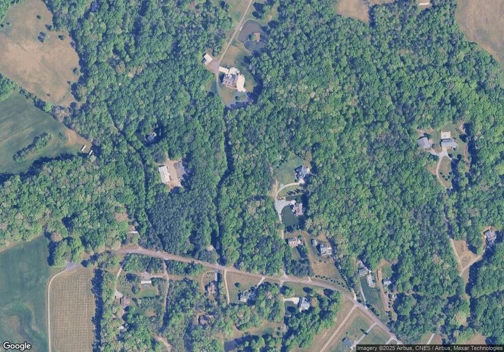
Map
Nearby Homes
- 770 Dalton Rd
- 710 Dorse Rd
- 8265 Shallowford Rd
- 0 Scott Rd
- 00 Scott Rd
- 5339 Old Us Highway 421
- 834 Montrachet Ct
- 814 Montrachet Ct
- 4192 Emmas Way
- 937 Montrachet Ct
- 9664 Lissara Camp Ct
- 9631 Lissara Camp Ct
- 4198 Emmas Way
- 4196 Emmas Way
- 9687 Lissara Camp Ct
- 9349 Lissara Camp Ct
- 9652 Lissara Camp Ct
- 9427 Lissara Camp Ct
- 9658 Lissara Camp Ct
- 9447 Lissara Camp Ct