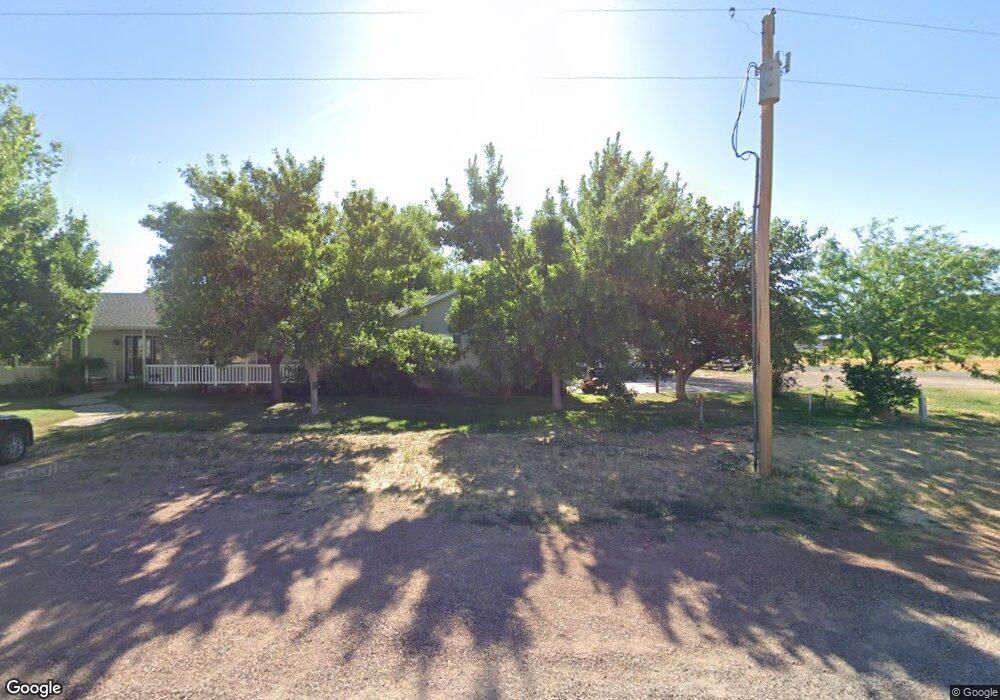
95 S 200 W Kanosh, UT 84637
Estimated Value: $622,000
--
Bed
--
Bath
--
Sq Ft
1.2
Acres
About This Home
This home is located at 95 S 200 W, Kanosh, UT 84637 and is currently estimated at $622,000. 95 S 200 W is a home.
Ownership History
Date
Name
Owned For
Owner Type
Purchase Details
Closed on
Jun 23, 2017
Sold by
George Brandon W
Bought by
George Brandon W and George Jennifer S
Current Estimated Value
Home Financials for this Owner
Home Financials are based on the most recent Mortgage that was taken out on this home.
Original Mortgage
$187,200
Outstanding Balance
$155,337
Interest Rate
4.02%
Mortgage Type
New Conventional
Estimated Equity
$466,663
Purchase Details
Closed on
Jan 6, 2005
Sold by
George Brandon W and George Jennifer S
Bought by
George Brandon W and George Jennifer S
Home Financials for this Owner
Home Financials are based on the most recent Mortgage that was taken out on this home.
Original Mortgage
$123,899
Interest Rate
5.69%
Create a Home Valuation Report for This Property
The Home Valuation Report is an in-depth analysis detailing your home's value as well as a comparison with similar homes in the area
Home Values in the Area
Average Home Value in this Area
Purchase History
| Date | Buyer | Sale Price | Title Company |
|---|---|---|---|
| George Brandon W | -- | First American Title | |
| George Brandon W | -- | First American Title Insuran |
Source: Public Records
Mortgage History
| Date | Status | Borrower | Loan Amount |
|---|---|---|---|
| Open | George Brandon W | $187,200 | |
| Previous Owner | George Brandon W | $123,899 |
Source: Public Records
Tax History Compared to Growth
Tax History
| Year | Tax Paid | Tax Assessment Tax Assessment Total Assessment is a certain percentage of the fair market value that is determined by local assessors to be the total taxable value of land and additions on the property. | Land | Improvement |
|---|---|---|---|---|
| 2025 | $2,280 | $298,709 | $40,500 | $258,209 |
| 2024 | $2,280 | $325,212 | $38,867 | $286,345 |
| 2023 | $2,841 | $325,212 | $38,867 | $286,345 |
| 2022 | $1,960 | $184,170 | $31,093 | $153,077 |
| 2021 | $1,620 | $146,771 | $27,038 | $119,733 |
| 2020 | $1,408 | $128,758 | $24,580 | $104,178 |
| 2019 | $1,270 | $116,828 | $22,550 | $94,278 |
| 2018 | $1,218 | $114,778 | $20,500 | $94,278 |
| 2017 | $1,273 | $114,778 | $20,500 | $94,278 |
| 2016 | $1,149 | $108,022 | $15,375 | $92,647 |
| 2015 | $1,149 | $108,022 | $15,375 | $92,647 |
| 2014 | -- | $108,022 | $15,375 | $92,647 |
| 2013 | -- | $108,022 | $15,375 | $92,647 |
Source: Public Records
Map
Nearby Homes
- 115 W 200 S
- 135 E 200 N
- 58 E 300 South St
- 8610 S Highway 91
- 5098 W Hatton Rd
- Parcel # 8816
- 145 N 200 E
- 60 W Center St
- 50 N 100 Rd E
- 0 Tbd Black Rock Rd Unit LotWP001
- 1565 W Sunflower Ln Unit 3
- 1615 W Sunflower Ln
- 1615 W Sunflower Ln Unit 4
- 1565 W Sunflower Ln
- 2000 N West Frontage I-15
- 1100 S 725 Rd W
- 310 S 500 West Rd
- 190 W 400 St S
- 760 E 700 St S
- 155 E 500 St S