95 Williams Ln Littleton, NH 03561
Estimated Value: $129,000 - $770,000
5
Beds
2
Baths
2,715
Sq Ft
$182/Sq Ft
Est. Value
About This Home
This home is located at 95 Williams Ln, Littleton, NH 03561 and is currently estimated at $493,667, approximately $181 per square foot. 95 Williams Ln is a home located in Grafton County with nearby schools including Mildred C. Lakeway School.
Ownership History
Date
Name
Owned For
Owner Type
Purchase Details
Closed on
Jun 15, 2012
Sold by
Mellor Richard
Bought by
Littleton Water & Light
Current Estimated Value
Purchase Details
Closed on
Jun 15, 2011
Sold by
Winchester Cooperative
Bought by
Mellor Richard
Purchase Details
Closed on
May 3, 2011
Sold by
Williams Farm T and Winchester Coop Bk
Bought by
Winchester Coop Bank
Purchase Details
Closed on
Jan 12, 2006
Sold by
Martha W Crossett
Bought by
James W Powers Inc
Home Financials for this Owner
Home Financials are based on the most recent Mortgage that was taken out on this home.
Original Mortgage
$217,000
Interest Rate
6.28%
Mortgage Type
Purchase Money Mortgage
Create a Home Valuation Report for This Property
The Home Valuation Report is an in-depth analysis detailing your home's value as well as a comparison with similar homes in the area
Home Values in the Area
Average Home Value in this Area
Purchase History
| Date | Buyer | Sale Price | Title Company |
|---|---|---|---|
| Littleton Water & Light | -- | -- | |
| Mellor Richard | $40,000 | -- | |
| Winchester Coop Bank | $32,000 | -- | |
| James W Powers Inc | $310,000 | -- |
Source: Public Records
Mortgage History
| Date | Status | Borrower | Loan Amount |
|---|---|---|---|
| Previous Owner | James W Powers Inc | $217,000 |
Source: Public Records
Tax History Compared to Growth
Tax History
| Year | Tax Paid | Tax Assessment Tax Assessment Total Assessment is a certain percentage of the fair market value that is determined by local assessors to be the total taxable value of land and additions on the property. | Land | Improvement |
|---|---|---|---|---|
| 2024 | $2,025 | $81,200 | $41,000 | $40,200 |
| 2023 | $1,830 | $81,200 | $41,000 | $40,200 |
| 2022 | $1,872 | $81,200 | $41,000 | $40,200 |
| 2021 | $1,872 | $81,200 | $41,000 | $40,200 |
| 2020 | $1,764 | $81,500 | $41,000 | $40,500 |
| 2019 | $6,581 | $64,800 | $37,000 | $27,800 |
| 2018 | $6,440 | $64,800 | $37,000 | $27,800 |
| 2017 | $1,658 | $64,200 | $30,100 | $34,100 |
| 2016 | $1,674 | $64,600 | $30,100 | $34,500 |
| 2015 | $2,148 | $92,100 | $40,300 | $51,800 |
| 2014 | $2,045 | $92,100 | $40,300 | $51,800 |
| 2013 | $2,069 | $92,100 | $40,300 | $51,800 |
Source: Public Records
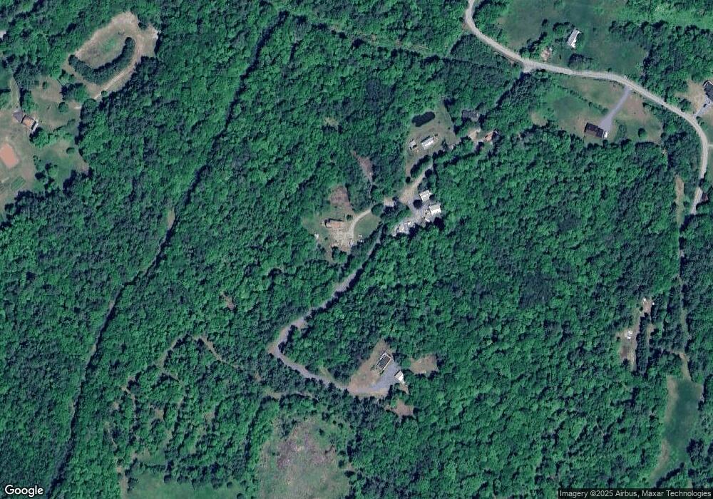
Map
Nearby Homes
- 1615 Saint Johnsbury Rd
- 10 Harvest Ct
- 74-44 Slate Ledge Rd
- 877 St Johnsbury Rd
- 99 Girard Rd
- 921 Old Waterford Rd
- 0 Old Waterford Rd Unit 28 5059515
- 0 Old Waterford Rd Unit 25534600
- 295 Old Waterford Rd
- 35 Langway Rd
- 205 Hurd Hill Rd
- 42 Beaver Pond Rd
- 48 Wetherbee Rd
- Lot 6 N Skinny Ridge Rd
- 59 Mountain Meadows Rd
- 000 Dells Rd Unit 1
- 398 Plains Rd
- 113 Buck Ridge Rd
- 00 Buck Ridge Rd Unit A03 & A04
- 00 Buck Ridge and Catterall Rd Unit A03 & A04
- 1 Williams Ln
- 2 Williams Ln
- 1691 Saint Johnsbury Rd
- 118 Williams Rd
- 118 Williams Ln
- 22 Williams Ln
- 1685 Saint Johnsbury Rd
- L 73-52-0 Williams
- 65 Williams Ln
- 1617 Saint Johnsbury Rd
- 1619 Saint Johnsbury Rd
- 1619 Saint Johnsbury Rd Unit 70
- 165 Williams Rd
- 166 Williams Rd Unit 66
- 0 Williams Rd
- 165 Williams Rd Unit 65
- 10 Williams Rd
- 18 St Johnsbury Rd
- L 73-52-0 10 Williams Rd
- 0 Williams Ln