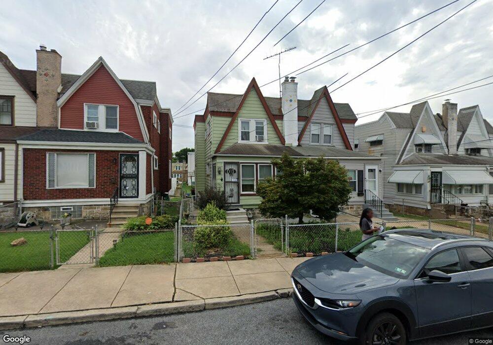
950 Duncan Ave Lansdowne, PA 19050
Estimated Value: $183,000 - $249,000
3
Beds
1
Bath
1,192
Sq Ft
$184/Sq Ft
Est. Value
About This Home
This home is located at 950 Duncan Ave, Lansdowne, PA 19050 and is currently estimated at $218,899, approximately $183 per square foot. 950 Duncan Ave is a home located in Delaware County with nearby schools including Evans Elementary School, Penn Wood Middle School, and Penn Wood High School - Cypress Street Campus.
Ownership History
Date
Name
Owned For
Owner Type
Purchase Details
Closed on
Mar 24, 2008
Sold by
Bamber William J and Estate Of Helen Bamber
Bought by
Herron Melanie T
Current Estimated Value
Home Financials for this Owner
Home Financials are based on the most recent Mortgage that was taken out on this home.
Original Mortgage
$108,300
Outstanding Balance
$67,542
Interest Rate
5.76%
Mortgage Type
FHA
Estimated Equity
$151,357
Create a Home Valuation Report for This Property
The Home Valuation Report is an in-depth analysis detailing your home's value as well as a comparison with similar homes in the area
Home Values in the Area
Average Home Value in this Area
Purchase History
| Date | Buyer | Sale Price | Title Company |
|---|---|---|---|
| Herron Melanie T | $110,000 | None Available |
Source: Public Records
Mortgage History
| Date | Status | Borrower | Loan Amount |
|---|---|---|---|
| Open | Herron Melanie T | $108,300 |
Source: Public Records
Tax History Compared to Growth
Tax History
| Year | Tax Paid | Tax Assessment Tax Assessment Total Assessment is a certain percentage of the fair market value that is determined by local assessors to be the total taxable value of land and additions on the property. | Land | Improvement |
|---|---|---|---|---|
| 2025 | $4,303 | $100,780 | $31,860 | $68,920 |
| 2024 | $4,303 | $100,780 | $31,860 | $68,920 |
| 2023 | $3,908 | $100,780 | $31,860 | $68,920 |
| 2022 | $3,727 | $100,780 | $31,860 | $68,920 |
| 2021 | $5,636 | $100,780 | $31,860 | $68,920 |
| 2020 | $3,661 | $58,620 | $18,380 | $40,240 |
| 2019 | $3,596 | $58,620 | $18,380 | $40,240 |
| 2018 | $3,547 | $58,620 | $0 | $0 |
| 2017 | $3,472 | $58,620 | $0 | $0 |
| 2016 | $322 | $58,620 | $0 | $0 |
| 2015 | $322 | $58,620 | $0 | $0 |
| 2014 | $322 | $58,620 | $0 | $0 |
Source: Public Records
Map
Nearby Homes
- 923 Bell Ave
- 939 Serrill Ave
- 921 Serrill Ave
- 908 Yeadon Ave
- 808 Serrill Ave
- 1049 Yeadon Ave
- 800 Bullock Ave
- 825 Laurel Rd
- 722 Yeadon Ave
- 740 Church Ln
- 813 Arbor Rd
- 711 Yeadon Ave Unit 1
- 6951 Chester Ave
- 6718 Cobbs Creek Pkwy
- 702 Cedar Ave
- 6835 Chester Ave
- 908 Cedar Ave
- 6535 Windsor St
- 331 N 10th St
- 252 N 9th St