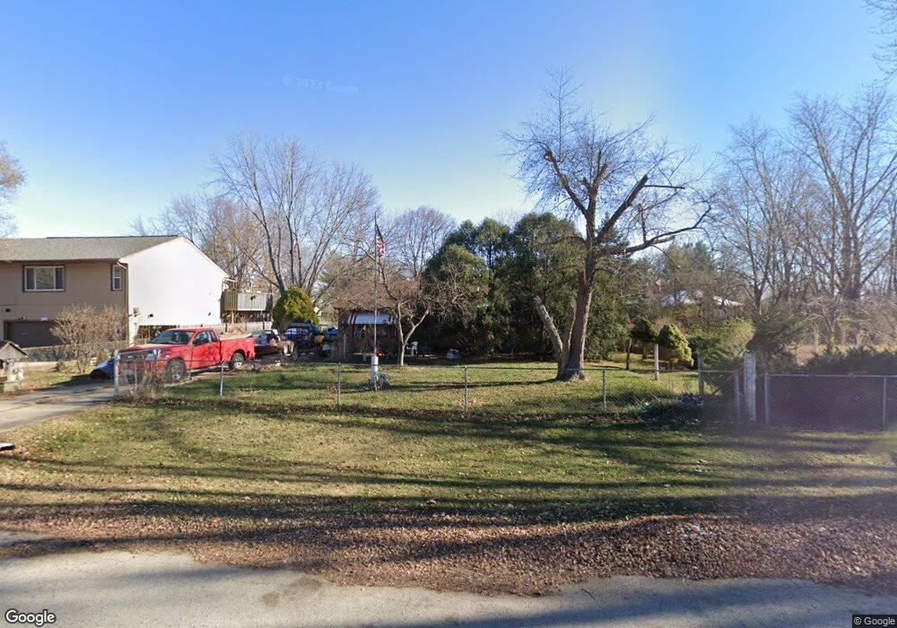
9520 Cincinnati Dr Machesney Park, IL 61115
Estimated Value: $160,000 - $186,076
2
Beds
2
Baths
1,036
Sq Ft
$169/Sq Ft
Est. Value
About This Home
This home is located at 9520 Cincinnati Dr, Machesney Park, IL 61115 and is currently estimated at $175,269, approximately $169 per square foot. 9520 Cincinnati Dr is a home located in Winnebago County with nearby schools including Marquette Elementary School, Harlem Middle School, and Harlem High School.
Ownership History
Date
Name
Owned For
Owner Type
Purchase Details
Closed on
May 7, 2024
Sold by
Kane Michael A
Bought by
Kane Michael A
Current Estimated Value
Purchase Details
Closed on
May 2, 2019
Sold by
Bell Judy Roxane
Bought by
Kane Michael A
Home Financials for this Owner
Home Financials are based on the most recent Mortgage that was taken out on this home.
Original Mortgage
$20,000
Interest Rate
5.79%
Mortgage Type
Credit Line Revolving
Create a Home Valuation Report for This Property
The Home Valuation Report is an in-depth analysis detailing your home's value as well as a comparison with similar homes in the area
Home Values in the Area
Average Home Value in this Area
Purchase History
| Date | Buyer | Sale Price | Title Company |
|---|---|---|---|
| Kane Michael A | -- | None Listed On Document | |
| Kane Michael A | -- | None Listed On Document |
Source: Public Records
Mortgage History
| Date | Status | Borrower | Loan Amount |
|---|---|---|---|
| Previous Owner | Kane Michael A | $20,000 |
Source: Public Records
Tax History Compared to Growth
Tax History
| Year | Tax Paid | Tax Assessment Tax Assessment Total Assessment is a certain percentage of the fair market value that is determined by local assessors to be the total taxable value of land and additions on the property. | Land | Improvement |
|---|---|---|---|---|
| 2024 | $4,700 | $58,164 | $5,900 | $52,264 |
| 2023 | $3,554 | $51,656 | $5,240 | $46,416 |
| 2022 | $2,567 | $47,114 | $4,779 | $42,335 |
| 2021 | $2,588 | $43,819 | $4,445 | $39,374 |
| 2020 | $2,900 | $41,740 | $4,234 | $37,506 |
| 2019 | $2,946 | $39,981 | $4,056 | $35,925 |
| 2018 | $3,204 | $38,670 | $3,923 | $34,747 |
| 2017 | $2,810 | $37,609 | $3,815 | $33,794 |
| 2016 | $3,548 | $36,861 | $3,739 | $33,122 |
| 2015 | $3,518 | $36,217 | $3,674 | $32,543 |
| 2014 | $4,117 | $36,217 | $3,674 | $32,543 |
Source: Public Records
Map
Nearby Homes
- 412 Langley Rd
- 9020 Baldwin Dr
- 815 Needle Point Dr
- 99XX Queen Oaks Dr
- 8756 Scott Ln
- 515 Chicory St
- 8740 Scott Ln
- 8732 Scott Ln
- 8708 Scott Ln
- 8696 Scott Ln
- 8721 Scott Ln
- 8711 Scott Ln
- 8688 Scott Ln
- 8680 Scott Ln
- 8744 Jeffrey Way
- 8672 Scott Ln
- 8681 Scott Ln
- 8664 Scott Ln
- 1229 Summerland Key
- 8628 Victory Ln Unit 48628
- 9518 Cincinnati Dr
- 9526 Cincinnati Dr
- 9524 Cincinnati Dr
- 3001 Lotus Ln
- 9510 Cincinnati Dr
- 3005 Lotus Ln
- 9523 Cincinnati Dr
- 9604 Cincinnati Dr
- 9519 Cincinnati Dr
- 3009 Lotus Ln
- 9527 Cincinnati Dr
- 9515 Cincinnati Dr
- 506 Langley Rd
- 9601 Cincinnati Dr
- 9511 Cincinnati Dr
- 3013 Lotus Ln
- 510 Langley Rd
- 9605 Cincinnati Dr
- 514 Langley Rd
- 502 Langley Rd