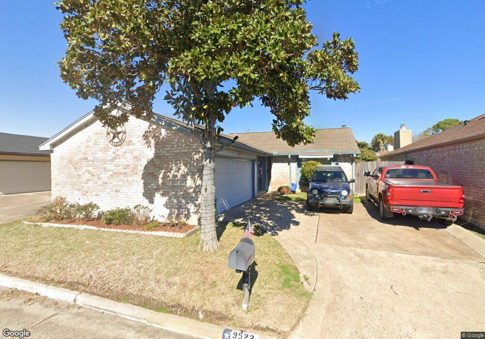
9522 Hendon Ln Houston, TX 77036
Chinatown NeighborhoodEstimated Value: $254,641 - $277,000
3
Beds
2
Baths
1,862
Sq Ft
$142/Sq Ft
Est. Value
About This Home
This home is located at 9522 Hendon Ln, Houston, TX 77036 and is currently estimated at $265,160, approximately $142 per square foot. 9522 Hendon Ln is a home located in Harris County with nearby schools including Bush Elementary School, Owens Intermediate School, and Alief Middle School.
Ownership History
Date
Name
Owned For
Owner Type
Purchase Details
Closed on
May 7, 2004
Sold by
Yao Ning Gang and Pan Suhong
Bought by
Bici Ymer and Bici Florie
Current Estimated Value
Home Financials for this Owner
Home Financials are based on the most recent Mortgage that was taken out on this home.
Original Mortgage
$100,700
Outstanding Balance
$47,314
Interest Rate
5.53%
Mortgage Type
Purchase Money Mortgage
Estimated Equity
$217,846
Purchase Details
Closed on
Mar 22, 1996
Sold by
Elzner Deborah Kay
Bought by
Yao Ning Gang and Pan Suhong
Home Financials for this Owner
Home Financials are based on the most recent Mortgage that was taken out on this home.
Original Mortgage
$50,600
Interest Rate
7%
Create a Home Valuation Report for This Property
The Home Valuation Report is an in-depth analysis detailing your home's value as well as a comparison with similar homes in the area
Home Values in the Area
Average Home Value in this Area
Purchase History
| Date | Buyer | Sale Price | Title Company |
|---|---|---|---|
| Bici Ymer | -- | Alamo Title Company | |
| Yao Ning Gang | -- | First American Title |
Source: Public Records
Mortgage History
| Date | Status | Borrower | Loan Amount |
|---|---|---|---|
| Open | Bici Ymer | $100,700 | |
| Previous Owner | Yao Ning Gang | $50,600 |
Source: Public Records
Tax History Compared to Growth
Tax History
| Year | Tax Paid | Tax Assessment Tax Assessment Total Assessment is a certain percentage of the fair market value that is determined by local assessors to be the total taxable value of land and additions on the property. | Land | Improvement |
|---|---|---|---|---|
| 2025 | $3,744 | $247,089 | $45,900 | $201,189 |
| 2024 | $3,744 | $236,087 | $45,900 | $190,187 |
| 2023 | $3,744 | $246,128 | $45,900 | $200,228 |
| 2022 | $5,051 | $211,121 | $45,900 | $165,221 |
| 2021 | $4,659 | $190,862 | $35,700 | $155,162 |
| 2020 | $4,622 | $183,494 | $35,700 | $147,794 |
| 2019 | $4,403 | $168,692 | $30,600 | $138,092 |
| 2018 | $1,615 | $151,875 | $25,500 | $126,375 |
| 2017 | $3,603 | $136,193 | $18,870 | $117,323 |
| 2016 | $3,275 | $136,193 | $18,870 | $117,323 |
| 2015 | $2,198 | $136,193 | $18,870 | $117,323 |
| 2014 | $2,198 | $100,000 | $18,870 | $81,130 |
Source: Public Records
Map
Nearby Homes
- 9506 Hendon Ln
- 9234 Westwood Village Dr Unit 17
- 9215 Sharpcrest St
- 9345 Westwood Village Dr Unit 30
- 7939 Kendalia Dr
- 9901 Sharpcrest St Unit K3
- 9901 Sharpcrest St Unit M6
- 9901 Sharpcrest St Unit F3
- 9901 Sharpcrest St Unit B3
- 9901 Sharpcrest St Unit 8
- 9393 Westwood Village Dr Unit 64
- 9238 Stroud Dr
- 8923 Hendon Ln
- 9006 Roos Rd
- 8902 Langdon Ln
- 8818 Roos Rd
- 9002 Grape St
- 7303 Augustine Dr
- 6633 W Sam Houston Pkwy S Unit 1A
- 6633 W Sam Houston Pkwy S Unit 1G
- 9602 Hendon Ln
- 9518 Hendon Ln
- 9606 Hendon Ln
- 9514 Hendon Ln
- 9523 Sharpcrest St
- 9603 Sharpcrest St
- 9519 Sharpcrest St
- 9607 Sharpcrest St
- 9515 Sharpcrest St
- 9610 Hendon Ln
- 9510 Hendon Ln
- 9523 Hendon Ln
- 9603 Hendon Ln
- 9519 Hendon Ln
- 9611 Sharpcrest St
- 9511 Sharpcrest St
- 9515 Hendon Ln
- 9607 Hendon Ln
- 9614 Hendon Ln
- 9611 Hendon Ln