9540 Williamson Rd Meadville, PA 16335
Estimated Value: $260,000 - $332,000
--
Bed
--
Bath
--
Sq Ft
40
Acres
About This Home
This home is located at 9540 Williamson Rd, Meadville, PA 16335 and is currently estimated at $283,090. 9540 Williamson Rd is a home with nearby schools including Neason Hill Elementary School, Meadville Middle School, and Meadville Area Senior High School.
Ownership History
Date
Name
Owned For
Owner Type
Purchase Details
Closed on
Jul 28, 2007
Sold by
Best Wayne E and Best Mary I
Bought by
Metheney Dennis E and Hyden Mary E
Current Estimated Value
Home Financials for this Owner
Home Financials are based on the most recent Mortgage that was taken out on this home.
Original Mortgage
$220,000
Outstanding Balance
$139,791
Interest Rate
6.73%
Mortgage Type
New Conventional
Estimated Equity
$143,299
Create a Home Valuation Report for This Property
The Home Valuation Report is an in-depth analysis detailing your home's value as well as a comparison with similar homes in the area
Home Values in the Area
Average Home Value in this Area
Purchase History
| Date | Buyer | Sale Price | Title Company |
|---|---|---|---|
| Metheney Dennis E | $220,000 | None Available |
Source: Public Records
Mortgage History
| Date | Status | Borrower | Loan Amount |
|---|---|---|---|
| Open | Metheney Dennis E | $220,000 |
Source: Public Records
Tax History Compared to Growth
Tax History
| Year | Tax Paid | Tax Assessment Tax Assessment Total Assessment is a certain percentage of the fair market value that is determined by local assessors to be the total taxable value of land and additions on the property. | Land | Improvement |
|---|---|---|---|---|
| 2025 | $1,648 | $60,806 | $7,100 | $53,706 |
| 2024 | $2,378 | $60,806 | $7,100 | $53,706 |
| 2023 | $2,438 | $60,806 | $7,100 | $53,706 |
| 2022 | $4,899 | $60,806 | $7,100 | $53,706 |
| 2021 | $4,786 | $60,806 | $7,100 | $53,706 |
| 2020 | $4,786 | $60,806 | $7,100 | $53,706 |
| 2019 | $4,786 | $60,806 | $7,100 | $53,706 |
| 2018 | $4,558 | $60,806 | $7,100 | $53,706 |
| 2017 | $4,509 | $60,806 | $7,100 | $53,706 |
| 2016 | $1,393 | $60,282 | $7,100 | $53,182 |
| 2015 | $1,393 | $60,282 | $7,100 | $53,182 |
| 2014 | -- | $53,350 | $7,100 | $46,250 |
Source: Public Records
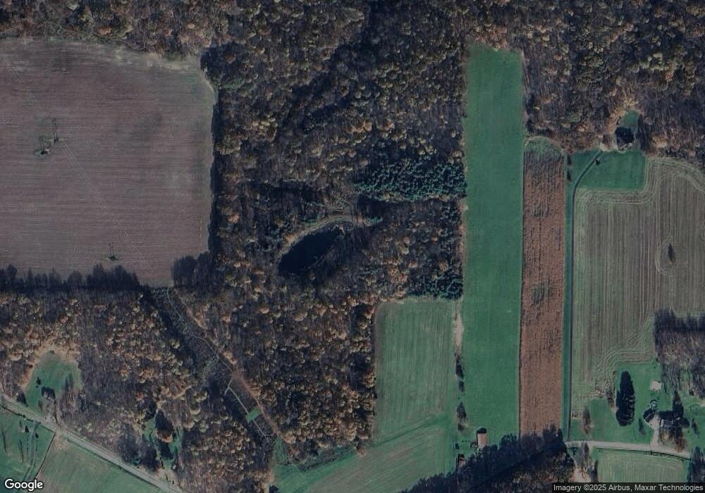
Map
Nearby Homes
- 21427 Phelps Rd
- 20231 Homecroft Rd
- 10223 Liberty Street Extension
- 10845 Graff St
- 826 Irvin Ave
- 20899 Star Route
- 970 S Morgan St
- 703-705 Chestnut St
- 908 Fairview Ave
- 685 Chestnut St
- 21757 Star Route
- 1003 Catherine St
- 9989 Kennedy Hill Rd
- 1000-1002 Catherine St
- 12336 Leslie Rd
- 626 Walnut St
- 1218-1220 S Cottage St
- 802 Brawley Ave
- 449 Pine St
- 537 Chestnut St
- 9525 Williamson Rd
- 9520 Williamson Rd
- 9694 Williamson Rd
- 21037 Phelps Rd
- 9757 Williamson Rd
- 9512 Franklin Pike
- 9558 Franklin Pike
- 9490 Franklin Pike
- 9462 Franklin Pike
- 9420 Franklin Pike
- 0 Williamson Rd
- 9572 Franklin Pike
- 9493 Franklin Pike
- 9493 Franklin Pike
- 9467 Franklin Pike
- 9800 Williamson Rd
- 9445 Franklin Pike
- 9588 Franklin Pike
- 9640 Franklin Pike
- 9551 Franklin Pike