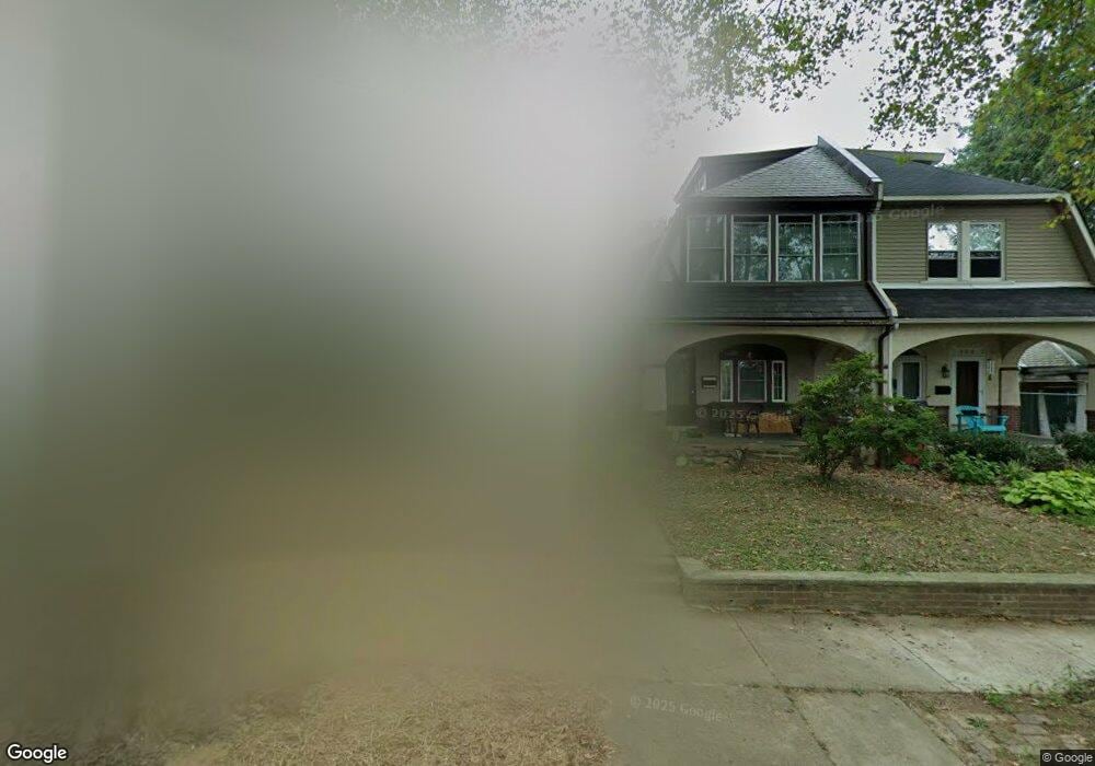
955 Herbert St Philadelphia, PA 19124
Lawncrest NeighborhoodEstimated Value: $276,590 - $336,000
4
Beds
1
Bath
1,672
Sq Ft
$176/Sq Ft
Est. Value
About This Home
This home is located at 955 Herbert St, Philadelphia, PA 19124 and is currently estimated at $293,648, approximately $175 per square foot. 955 Herbert St is a home located in Philadelphia County with nearby schools including Frankford High School, Northwood Academy Charter School, and The Philadelphia Charter School for the Arts & Sciences.
Ownership History
Date
Name
Owned For
Owner Type
Purchase Details
Closed on
Jul 26, 2002
Sold by
Atkinson James J and Atkinson Kathleen M
Bought by
Dorsey Deverick
Current Estimated Value
Home Financials for this Owner
Home Financials are based on the most recent Mortgage that was taken out on this home.
Original Mortgage
$80,000
Outstanding Balance
$32,819
Interest Rate
6.39%
Estimated Equity
$260,829
Create a Home Valuation Report for This Property
The Home Valuation Report is an in-depth analysis detailing your home's value as well as a comparison with similar homes in the area
Home Values in the Area
Average Home Value in this Area
Purchase History
| Date | Buyer | Sale Price | Title Company |
|---|---|---|---|
| Dorsey Deverick | $100,000 | Stewart Title Guaranty Compa |
Source: Public Records
Mortgage History
| Date | Status | Borrower | Loan Amount |
|---|---|---|---|
| Open | Dorsey Deverick | $80,000 | |
| Closed | Dorsey Deverick | $20,000 |
Source: Public Records
Tax History Compared to Growth
Tax History
| Year | Tax Paid | Tax Assessment Tax Assessment Total Assessment is a certain percentage of the fair market value that is determined by local assessors to be the total taxable value of land and additions on the property. | Land | Improvement |
|---|---|---|---|---|
| 2026 | $3,088 | $304,200 | $60,800 | $243,400 |
| 2025 | $3,088 | $304,200 | $60,800 | $243,400 |
| 2024 | $3,088 | $304,200 | $60,800 | $243,400 |
| 2023 | $3,088 | $220,600 | $44,120 | $176,480 |
| 2022 | $1,705 | $175,600 | $44,120 | $131,480 |
| 2021 | $2,335 | $0 | $0 | $0 |
| 2020 | $2,335 | $0 | $0 | $0 |
| 2019 | $2,240 | $0 | $0 | $0 |
| 2018 | $2,175 | $0 | $0 | $0 |
| 2017 | $2,175 | $0 | $0 | $0 |
| 2016 | $1,755 | $0 | $0 | $0 |
| 2015 | $1,680 | $0 | $0 | $0 |
| 2014 | -- | $155,400 | $36,558 | $118,842 |
| 2012 | -- | $19,648 | $3,397 | $16,251 |
Source: Public Records
Map
Nearby Homes
- 926 Foulkrod St
- 1859 Harrison St
- 4717 Northwood St
- 1001-3 Arrott St
- 1052 Allengrove St
- 4046 E Roosevelt Blvd
- 4704 E Roosevelt Blvd
- 4600 Horrocks St
- 1208 Haworth St
- 1300 Harrison St
- 1214 Haworth St
- 4632 Oakland St
- 1241 Orthodox St
- 1335 Fillmore St
- 4628 Pilling St
- 4626 Pilling St
- 1048 Bridge St
- 1204 Pratt St
- 5118 Oakland St
- 1218 Pratt St
- 957 Herbert St
- 953 Herbert St
- 959 Herbert St
- 949 Herbert St
- 956 Foulkrod St
- 947 Herbert St
- 958 Foulkrod St
- 954 Foulkrod St
- 960 Foulkrod St
- 952 Foulkrod St
- 945 Herbert St
- 950 Foulkrod St
- 954 Herbert St
- 943 Herbert St
- 956 Herbert St
- 948 Herbert St
- 938 Foulkrod St
- 962 Herbert St
- 946 Herbert St
- 4748 Castor Ave