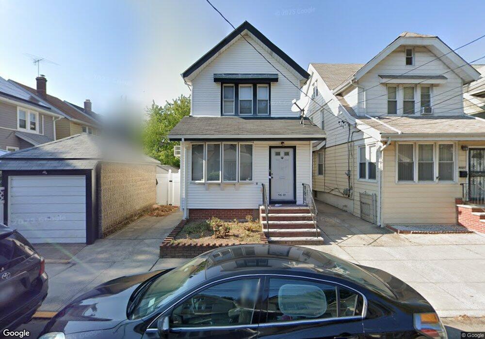
9601 91st Dr Woodhaven, NY 11421
Woodhaven NeighborhoodEstimated Value: $703,000 - $776,731
--
Bed
--
Bath
1,592
Sq Ft
$468/Sq Ft
Est. Value
About This Home
This home is located at 9601 91st Dr, Woodhaven, NY 11421 and is currently estimated at $745,183, approximately $468 per square foot. 9601 91st Dr is a home located in Queens County with nearby schools including P.S. 273, Jhs 210 Elizabeth Blackwell, and Richmond Hill High School.
Ownership History
Date
Name
Owned For
Owner Type
Purchase Details
Closed on
Mar 10, 2023
Sold by
Bridget Walsh Family Trust Dated 1/2 and Kieran J Walsh Co-Trustee
Bought by
Rahman Mohammad M
Current Estimated Value
Home Financials for this Owner
Home Financials are based on the most recent Mortgage that was taken out on this home.
Original Mortgage
$426,000
Outstanding Balance
$412,602
Interest Rate
6.12%
Mortgage Type
Purchase Money Mortgage
Estimated Equity
$332,581
Purchase Details
Closed on
Nov 29, 2011
Sold by
Walsh Bridget and Walsh Patrick
Bought by
Bridget Walsh Family Trust and Patrick Walsh Family Trust
Create a Home Valuation Report for This Property
The Home Valuation Report is an in-depth analysis detailing your home's value as well as a comparison with similar homes in the area
Home Values in the Area
Average Home Value in this Area
Purchase History
| Date | Buyer | Sale Price | Title Company |
|---|---|---|---|
| Rahman Mohammad M | $640,000 | -- | |
| Bridget Walsh Family Trust | -- | -- |
Source: Public Records
Mortgage History
| Date | Status | Borrower | Loan Amount |
|---|---|---|---|
| Open | Rahman Mohammad M | $426,000 |
Source: Public Records
Tax History Compared to Growth
Tax History
| Year | Tax Paid | Tax Assessment Tax Assessment Total Assessment is a certain percentage of the fair market value that is determined by local assessors to be the total taxable value of land and additions on the property. | Land | Improvement |
|---|---|---|---|---|
| 2025 | $5,613 | $29,593 | $7,534 | $22,059 |
| 2024 | $5,613 | $27,946 | $7,996 | $19,950 |
| 2023 | $5,613 | $27,946 | $7,349 | $20,597 |
| 2022 | $5,414 | $43,740 | $12,480 | $31,260 |
| 2021 | $5,040 | $36,540 | $12,480 | $24,060 |
| 2020 | $5,220 | $40,140 | $12,480 | $27,660 |
| 2019 | $4,872 | $35,520 | $12,480 | $23,040 |
| 2018 | $4,747 | $23,288 | $8,252 | $15,036 |
| 2017 | $4,528 | $22,213 | $10,359 | $11,854 |
| 2016 | $4,355 | $22,213 | $10,359 | $11,854 |
| 2015 | -- | $20,551 | $11,384 | $9,167 |
| 2014 | -- | $19,407 | $11,891 | $7,516 |
Source: Public Records
Map
Nearby Homes