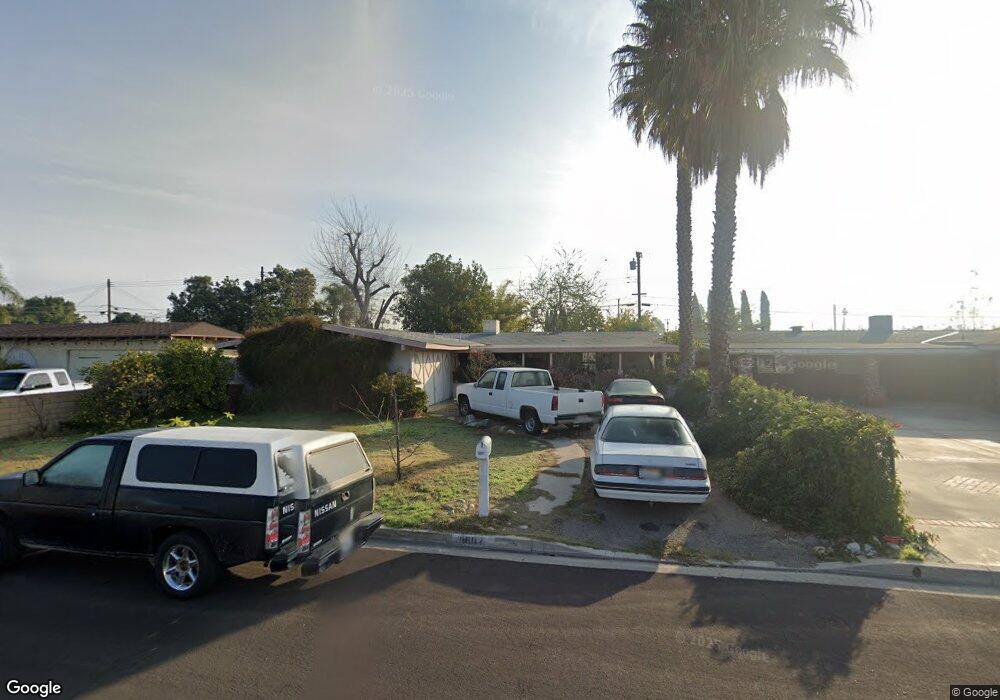
9602 Parade St Anaheim, CA 92804
West Anaheim NeighborhoodEstimated Value: $914,000 - $1,034,000
4
Beds
2
Baths
1,313
Sq Ft
$726/Sq Ft
Est. Value
About This Home
This home is located at 9602 Parade St, Anaheim, CA 92804 and is currently estimated at $953,258, approximately $726 per square foot. 9602 Parade St is a home located in Orange County with nearby schools including Walt Disney Elementary School, Dale Jr High School, and Magnolia High.
Ownership History
Date
Name
Owned For
Owner Type
Purchase Details
Closed on
Dec 21, 1998
Sold by
Cummings Barbara
Bought by
Cummings Curtis and Cummings Douglas
Current Estimated Value
Home Financials for this Owner
Home Financials are based on the most recent Mortgage that was taken out on this home.
Original Mortgage
$94,800
Interest Rate
6.91%
Create a Home Valuation Report for This Property
The Home Valuation Report is an in-depth analysis detailing your home's value as well as a comparison with similar homes in the area
Home Values in the Area
Average Home Value in this Area
Purchase History
| Date | Buyer | Sale Price | Title Company |
|---|---|---|---|
| Cummings Curtis | -- | American Title Co |
Source: Public Records
Mortgage History
| Date | Status | Borrower | Loan Amount |
|---|---|---|---|
| Closed | Cummings Curtis | $94,800 |
Source: Public Records
Tax History Compared to Growth
Tax History
| Year | Tax Paid | Tax Assessment Tax Assessment Total Assessment is a certain percentage of the fair market value that is determined by local assessors to be the total taxable value of land and additions on the property. | Land | Improvement |
|---|---|---|---|---|
| 2025 | $2,784 | $218,190 | $127,311 | $90,879 |
| 2024 | $2,784 | $213,912 | $124,814 | $89,098 |
| 2023 | $2,713 | $209,718 | $122,367 | $87,351 |
| 2022 | $2,688 | $205,606 | $119,967 | $85,639 |
| 2021 | $2,651 | $201,575 | $117,615 | $83,960 |
| 2020 | $2,810 | $199,509 | $116,409 | $83,100 |
| 2019 | $2,698 | $195,598 | $114,127 | $81,471 |
| 2018 | $2,552 | $191,763 | $111,889 | $79,874 |
| 2017 | $2,466 | $188,003 | $109,695 | $78,308 |
| 2016 | $2,456 | $184,317 | $107,544 | $76,773 |
| 2015 | $2,429 | $181,549 | $105,929 | $75,620 |
| 2014 | $2,288 | $177,993 | $103,854 | $74,139 |
Source: Public Records
Map
Nearby Homes
- 2217 W Orange Ave
- 9791 Orange Ave
- 9531 Orange Ave
- 2245 W Vancouver Dr
- 958 S Crossbow Ln Unit 8
- 917 S Sutter Creek Rd Unit 46
- 998 S Crossbow Ln Unit 12D
- 938 S Sutter Creek Rd Unit 54
- 2211 W Orange Ave
- 2209 W Orange Ave Unit 16
- 2209 W Orange Ave
- 994 S Sutter Creek Rd Unit 60
- 2154 W Niobe Ave
- 2131 W Niobe Ave
- Plan 4 at Townes at Orange
- 13252 Brookhurst St Unit 26
- Plan 1 at Townes at Orange
- Plan 1A at Breckyn
- Plan 3A at Breckyn
- Plan 3 at Townes at Orange
- 9612 Parade St
- 9592 Parade St
- 9601 Rosebay St
- 9622 Parade St
- 9582 Parade St
- 9611 Rosebay St
- 9591 Rosebay St
- 9621 Rosebay St
- 9601 Parade St
- 9581 Rosebay St
- 9591 Parade St
- 9611 Parade St
- 9632 Parade St
- 9672 Random Dr
- 9581 Parade St
- 9621 Parade St
- 9631 Rosebay St
- 9642 Parade St
- 9702 Random Dr
- 9631 Parade St