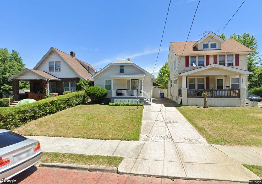
963 Rondel Rd Cleveland, OH 44110
South Collinwood NeighborhoodEstimated Value: $53,312 - $93,000
2
Beds
1
Bath
874
Sq Ft
$76/Sq Ft
Est. Value
About This Home
This home is located at 963 Rondel Rd, Cleveland, OH 44110 and is currently estimated at $66,828, approximately $76 per square foot. 963 Rondel Rd is a home located in Cuyahoga County with nearby schools including Bolton, Anton Grdina School, and Andrew J. Rickoff School.
Ownership History
Date
Name
Owned For
Owner Type
Purchase Details
Closed on
May 26, 2000
Sold by
Zulijani Denise
Bought by
Farrow Brenda G
Current Estimated Value
Home Financials for this Owner
Home Financials are based on the most recent Mortgage that was taken out on this home.
Original Mortgage
$52,566
Outstanding Balance
$18,413
Interest Rate
8.13%
Mortgage Type
FHA
Estimated Equity
$48,415
Purchase Details
Closed on
Jun 28, 1991
Sold by
Ekholm Dorthea B
Bought by
Zulijani Denise
Purchase Details
Closed on
Jan 1, 1975
Bought by
Ekholm Dorthea B
Create a Home Valuation Report for This Property
The Home Valuation Report is an in-depth analysis detailing your home's value as well as a comparison with similar homes in the area
Home Values in the Area
Average Home Value in this Area
Purchase History
| Date | Buyer | Sale Price | Title Company |
|---|---|---|---|
| Farrow Brenda G | $53,000 | -- | |
| Zulijani Denise | $21,000 | -- | |
| Ekholm Dorthea B | -- | -- |
Source: Public Records
Mortgage History
| Date | Status | Borrower | Loan Amount |
|---|---|---|---|
| Open | Farrow Brenda G | $52,566 |
Source: Public Records
Tax History Compared to Growth
Tax History
| Year | Tax Paid | Tax Assessment Tax Assessment Total Assessment is a certain percentage of the fair market value that is determined by local assessors to be the total taxable value of land and additions on the property. | Land | Improvement |
|---|---|---|---|---|
| 2024 | $1,019 | $15,540 | $2,975 | $12,565 |
| 2023 | $1,020 | $13,450 | $3,260 | $10,190 |
| 2022 | $1,014 | $13,440 | $3,260 | $10,190 |
| 2021 | $1,004 | $13,440 | $3,260 | $10,190 |
| 2020 | $1,019 | $11,800 | $2,870 | $8,930 |
| 2019 | $942 | $33,700 | $8,200 | $25,500 |
| 2018 | $945 | $11,800 | $2,870 | $8,930 |
| 2017 | $959 | $11,630 | $4,100 | $7,530 |
| 2016 | $952 | $11,630 | $4,100 | $7,530 |
| 2015 | $1,099 | $11,630 | $4,100 | $7,530 |
| 2014 | $1,099 | $13,380 | $4,730 | $8,650 |
Source: Public Records
Map
Nearby Homes
- 948 Royal Rd
- 907 Rondel Rd
- 897 Rudyard Rd
- 949 Rudyard Rd
- 888 Rondel Rd
- 973 Stevenson Rd
- 836 Rudyard Rd
- 871 Rondel Rd
- 841 Whitcomb Rd
- 964 Stevenson Rd
- 940 London Rd
- 924 Stevenson Rd
- 805 Rudyard Rd
- 16519 Burnside Ave
- 995 Nathaniel Rd
- 915 Evangeline Rd
- 792 London Rd
- 799 London Rd
- 15634 Kipling Ave
- 821 E 156th St
- 967 Rondel Rd
- 959 Rondel Rd
- 16212 Sanford Ave
- 16214 Sanford Ave
- 975 Rondel Rd
- 951 Rondel Rd
- 16313 Pomeroy Ave
- 16218 Sanford Ave
- 964 Rondel Rd
- 947 Rondel Rd
- 968 Rondel Rd
- 960 Rondel Rd
- 16211 Sanford Ave
- 956 Rondel Rd
- 972 Rondel Rd
- 16317 Pomeroy Ave
- 16215 Sanford Ave
- 952 Rondel Rd
- 943 Rondel Rd
- 16321 Pomeroy Ave