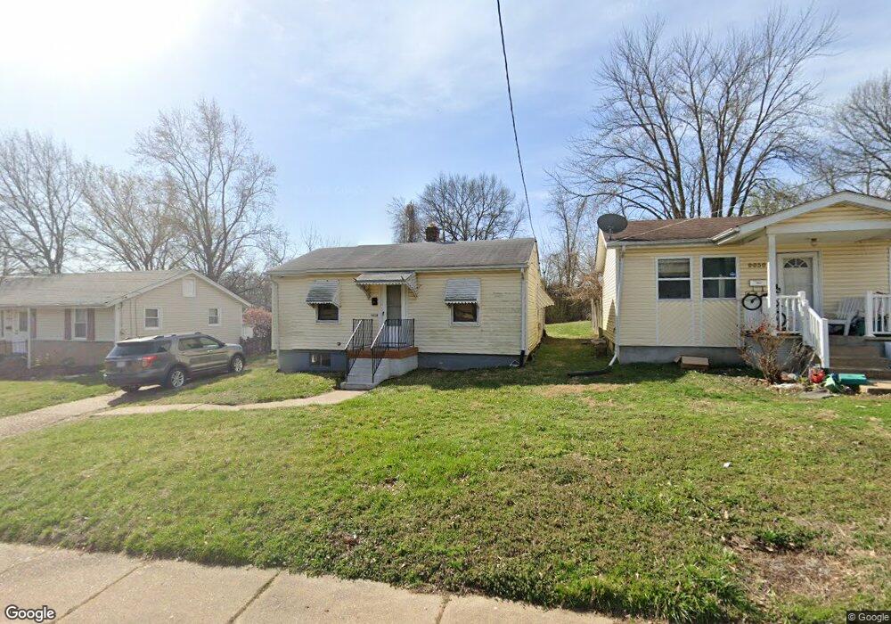
9634 Breckenridge Rd Saint Louis, MO 63114
Estimated Value: $77,000 - $119,000
1
Bed
1
Bath
768
Sq Ft
$130/Sq Ft
Est. Value
About This Home
This home is located at 9634 Breckenridge Rd, Saint Louis, MO 63114 and is currently estimated at $99,701, approximately $129 per square foot. 9634 Breckenridge Rd is a home located in St. Louis County with nearby schools including Marion Elementary School, Ritenour Middle School, and Ritenour Senior High School.
Ownership History
Date
Name
Owned For
Owner Type
Purchase Details
Closed on
Jul 10, 2017
Sold by
Poteet Kenneth D and Poteet Sharon L
Bought by
Kpospo Group Llc
Current Estimated Value
Purchase Details
Closed on
Aug 5, 2011
Sold by
The Alma I Wingfield Revocable Trust
Bought by
Wingfield Larry J
Purchase Details
Closed on
Jul 21, 2005
Sold by
Wingfield Alma I
Bought by
Wingfield Alma I and Alma I Wingfield Revocable Living Trust
Purchase Details
Closed on
Dec 23, 1998
Sold by
Bielicki Eugene J and Bielicki Amy J
Bought by
Bielicki Eugene J and Bielicki Amy J
Create a Home Valuation Report for This Property
The Home Valuation Report is an in-depth analysis detailing your home's value as well as a comparison with similar homes in the area
Home Values in the Area
Average Home Value in this Area
Purchase History
| Date | Buyer | Sale Price | Title Company |
|---|---|---|---|
| Kpospo Group Llc | -- | None Available | |
| Wingfield Larry J | -- | None Available | |
| Wingfield Alma I | -- | -- | |
| Bielicki Eugene J | -- | -- |
Source: Public Records
Tax History Compared to Growth
Tax History
| Year | Tax Paid | Tax Assessment Tax Assessment Total Assessment is a certain percentage of the fair market value that is determined by local assessors to be the total taxable value of land and additions on the property. | Land | Improvement |
|---|---|---|---|---|
| 2025 | $1,231 | $18,450 | $5,550 | $12,900 |
| 2024 | $1,231 | $14,300 | $1,840 | $12,460 |
| 2023 | $1,206 | $14,300 | $1,840 | $12,460 |
| 2022 | $1,079 | $11,190 | $1,840 | $9,350 |
| 2021 | $1,078 | $11,190 | $1,840 | $9,350 |
| 2020 | $966 | $9,240 | $3,330 | $5,910 |
| 2019 | $955 | $9,240 | $3,330 | $5,910 |
| 2018 | $848 | $7,350 | $1,840 | $5,510 |
| 2017 | $809 | $7,350 | $1,840 | $5,510 |
| 2016 | $710 | $6,460 | $1,840 | $4,620 |
| 2015 | $726 | $6,460 | $1,840 | $4,620 |
| 2014 | $1,060 | $9,730 | $1,460 | $8,270 |
Source: Public Records
Map
Nearby Homes
- 3205 Airway Ave
- 3213 Airway Ave
- 3219 Coles Ave
- 3222 W Tennyson Ave
- 3301 Suncrest Ave
- 3294 W Tennyson Ave
- 3329 W Milton Ave
- 3317 Royalton Ave
- 3360 Suncrest Ave
- 3316 Edmundson Rd
- 3244 Chaucer Ave
- 3329 Dix Ave
- 3355 Edmundson Rd
- 3239 Chaucer Ave
- 9432 Tudor Ave
- 10027 Breckenridge Rd
- 9922 Carlyle Ave
- 3220 Marvin Ave
- 3520 Wismer Rd
- 9911 Dennison Ave
- 9636 Breckenridge Rd
- 9630 Breckenridge Rd
- 3139 Jacqueline Ct
- 9646 Breckenridge Rd
- 3133 Jacqueline Ct
- 9648 Breckenridge Rd
- 3201 Royalton Ave
- 3127 Jacqueline Ct
- 3144 Jacqueline Ct
- 3138 Jacqueline Ct
- 3200 Royalton Ave
- 9650 Breckenridge Rd
- 9647 Breckenridge Rd
- 3205 Royalton Ave
- 3088 W Milton Ave
- 3204 Royalton Ave
- 3119 Jacqueline Ct
- 3126 Jacqueline Ct
- 3207 Royalton Ave
- 3204 W Milton Ave