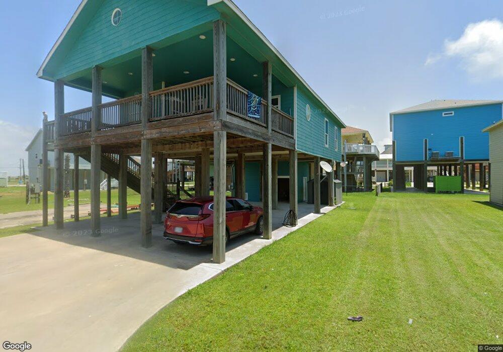
968 S Fisherman Dr S Port Bolivar, TX 77650
Crystal Beach NeighborhoodEstimated Value: $397,819 - $469,000
--
Bed
--
Bath
1,421
Sq Ft
$317/Sq Ft
Est. Value
About This Home
This home is located at 968 S Fisherman Dr S, Port Bolivar, TX 77650 and is currently estimated at $450,455, approximately $316 per square foot. 968 S Fisherman Dr S is a home with nearby schools including Morgan Elementary Magnet School, Burnet STREAM Magnet School, and Parker Elementary School.
Ownership History
Date
Name
Owned For
Owner Type
Purchase Details
Closed on
Jul 30, 2021
Sold by
Broussard Matthew Daniel and Broussard Sara Lane
Bought by
Terrapin Island Llc
Current Estimated Value
Purchase Details
Closed on
Sep 9, 2011
Sold by
Altemose John Richard and Mccarty Dawn A
Bought by
Broussard Matthew Daniel and Broussard Sara Lane
Create a Home Valuation Report for This Property
The Home Valuation Report is an in-depth analysis detailing your home's value as well as a comparison with similar homes in the area
Home Values in the Area
Average Home Value in this Area
Purchase History
| Date | Buyer | Sale Price | Title Company |
|---|---|---|---|
| Terrapin Island Llc | -- | None Available | |
| Broussard Matthew Daniel | -- | South Land Title Llc |
Source: Public Records
Tax History Compared to Growth
Tax History
| Year | Tax Paid | Tax Assessment Tax Assessment Total Assessment is a certain percentage of the fair market value that is determined by local assessors to be the total taxable value of land and additions on the property. | Land | Improvement |
|---|---|---|---|---|
| 2025 | $5,371 | $388,830 | $75,870 | $312,960 |
| 2024 | $5,371 | $396,130 | $75,870 | $320,260 |
| 2023 | $5,371 | $492,440 | $20,660 | $471,780 |
| 2022 | $6,578 | $408,260 | $20,660 | $387,600 |
| 2021 | $5,071 | $290,690 | $20,660 | $270,030 |
| 2020 | $5,103 | $274,940 | $20,660 | $254,280 |
| 2019 | $5,110 | $262,630 | $20,660 | $241,970 |
| 2018 | $4,637 | $236,950 | $20,660 | $216,290 |
| 2017 | $4,635 | $236,950 | $20,660 | $216,290 |
| 2016 | $4,635 | $236,950 | $20,660 | $216,290 |
| 2015 | $4,437 | $223,440 | $20,660 | $202,780 |
| 2014 | $3,689 | $108,870 | $13,500 | $95,370 |
Source: Public Records
Map
Nearby Homes
- 984 S Stingaree Dr
- 975 Fisherman Dr S
- 975 S Cove Dr
- 1012 S Stingaree Dr
- abst 65 B franks sur S Stingaree Dr
- 941 S Gateway Rd
- 981 S Gateway Rd
- 970 S Redfish
- 1001 S Stingaree Dr
- 983 S Redfish St
- 972 S Redfish
- 974 S Stingaree Dr
- 981 S Stingaree Dr
- 982 S Redfish St
- 956 S Redfish
- 2904 Shady Ln
- 2906 Shady Ln
- 976 Nassau Dr
- 3009 Sheron Ln
- 1066 Shady Ln
- 978 S Fisherman Dr
- 983 S Fisherman Dr
- LOT 25 S Fisherman Dr
- 959 S Fisherman Dr
- 951 Cove
- 951 S Cove Dr Unit Lot 26
- 951 S Cove Dr
- 951 S Cove Dr
- 951 S Cove Dr Unit 26
- 962 Fisherman Dr S
- 963 S Fisherman Dr
- 961 S Fisherman Dr S
- 947 S Cove
- Lot 28 Cove
- 967 S Fisherman Dr S
- 963 S Cove Dr
- 963 South Cove
- 974 S Fisherman Dr S
- 947 S Cove Dr
- 957 S Cove Dr