97 Lakeside Dr Westwood, CA 96137
Estimated Value: $636,109 - $891,000
4
Beds
4
Baths
2,178
Sq Ft
$349/Sq Ft
Est. Value
About This Home
This home is located at 97 Lakeside Dr, Westwood, CA 96137 and is currently estimated at $760,777, approximately $349 per square foot. 97 Lakeside Dr is a home located in Plumas County with nearby schools including Lake Almanor Christian School.
Ownership History
Date
Name
Owned For
Owner Type
Purchase Details
Closed on
Oct 26, 2015
Sold by
Brown Muriel Lee
Bought by
Gallup James R and Gallup Anna
Current Estimated Value
Home Financials for this Owner
Home Financials are based on the most recent Mortgage that was taken out on this home.
Original Mortgage
$356,580
Outstanding Balance
$281,227
Interest Rate
3.87%
Mortgage Type
New Conventional
Estimated Equity
$479,550
Purchase Details
Closed on
Sep 13, 2006
Sold by
Brown Muriel Lee
Bought by
Brown Muriel Lee
Create a Home Valuation Report for This Property
The Home Valuation Report is an in-depth analysis detailing your home's value as well as a comparison with similar homes in the area
Home Values in the Area
Average Home Value in this Area
Purchase History
| Date | Buyer | Sale Price | Title Company |
|---|---|---|---|
| Gallup James R | $396,500 | Cal Sierra Title Company | |
| Brown Muriel Lee | -- | None Available |
Source: Public Records
Mortgage History
| Date | Status | Borrower | Loan Amount |
|---|---|---|---|
| Open | Gallup James R | $356,580 |
Source: Public Records
Tax History Compared to Growth
Tax History
| Year | Tax Paid | Tax Assessment Tax Assessment Total Assessment is a certain percentage of the fair market value that is determined by local assessors to be the total taxable value of land and additions on the property. | Land | Improvement |
|---|---|---|---|---|
| 2025 | $5,736 | $469,012 | $201,242 | $267,770 |
| 2023 | $5,736 | $450,802 | $193,429 | $257,373 |
| 2022 | $5,238 | $441,964 | $189,637 | $252,327 |
| 2021 | $4,948 | $433,299 | $185,919 | $247,380 |
| 2020 | $5,056 | $428,857 | $184,013 | $244,844 |
| 2019 | $4,960 | $420,449 | $180,405 | $240,044 |
| 2018 | $4,758 | $412,206 | $176,868 | $235,338 |
| 2017 | $4,734 | $404,124 | $173,400 | $230,724 |
| 2016 | $4,377 | $396,200 | $170,000 | $226,200 |
| 2015 | $3,756 | $342,500 | $130,000 | $212,500 |
| 2014 | $3,761 | $342,500 | $130,000 | $212,500 |
Source: Public Records
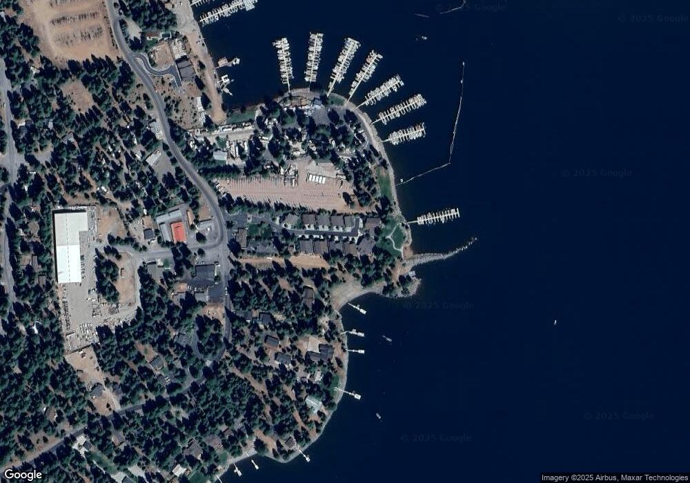
Map
Nearby Homes
- 78 Lakeside Dr
- 523 Peninsula Dr
- 525 Peninsula Dr
- 547 Ponderosa Dr
- 334 Peninsula Dr
- 445 Cedar Cir
- 625 Deep Forest Rd
- 227 Peninsula Dr
- 408 Ponderosa Dr
- 162 Peninsula Dr
- 662 Peninsula Dr
- 663 Peninsula Dr
- 126 Peninsula Dr
- 631 Cedar Canyon Rd
- 623 Cedar Canyon Rd
- 80 Terranova Dr
- 152 Treetop Cir
- 98 Terranova Dr
- 184 Blue Fox Dr
- 208 Blue Fox Dr
- 103 Lakeside Dr
- 91 Lakeside Dr
- 85 Lakeside Dr
- 107 Lakeside Dr
- 79 Lakeside Dr Unit Lakeside Villas
- 79 Lakeside Dr
- 96 Lakeside Dr
- 102 Lakeside Dr
- 111 Lakeside Dr
- 90 Lakeside Dr
- 73 Lakeside Dr
- 84 Lakeside Dr
- 115 Lakeside Dr
- 67 Lakeside Dr
- 121 Lakeside Dr
- 72 Lakeside Dr Unit PO Box 1816
- 72 Lakeside Dr
- 61 Lakeside Dr
- 66 Lakeside Dr
- 50 Lakeside Dr