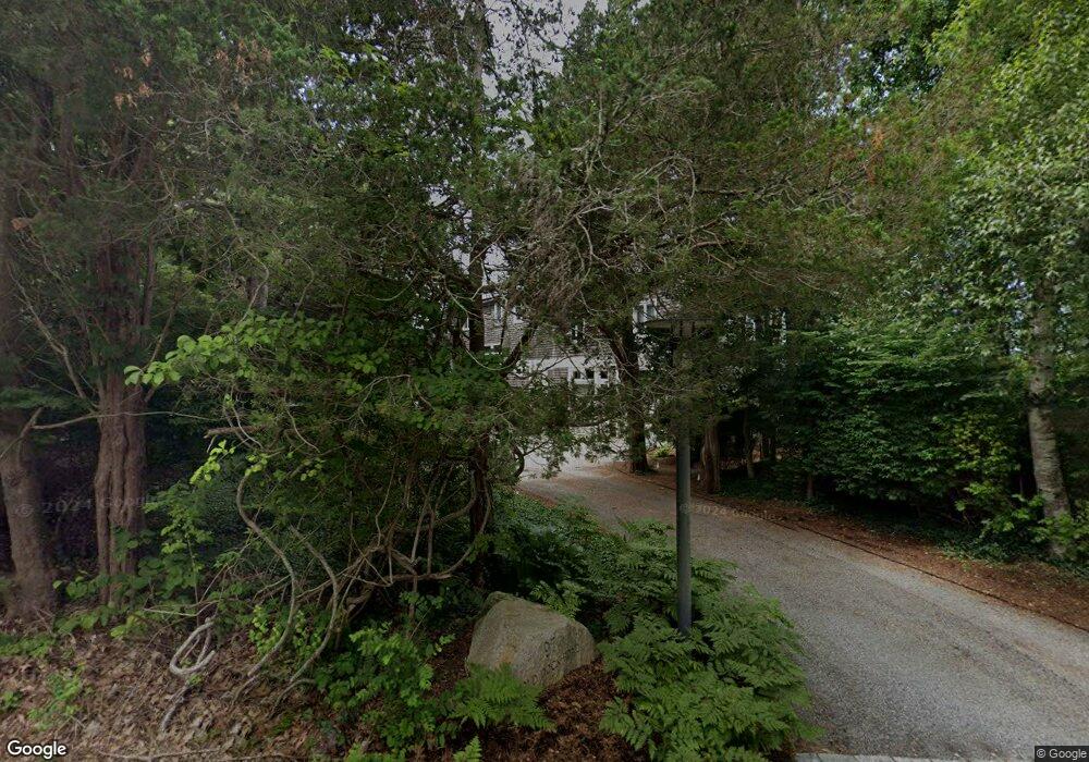
97 Old Dock Rd Falmouth, MA 02540
Estimated Value: $3,211,000 - $4,507,402
4
Beds
3
Baths
1,850
Sq Ft
$2,134/Sq Ft
Est. Value
About This Home
This home is located at 97 Old Dock Rd, Falmouth, MA 02540 and is currently estimated at $3,948,351, approximately $2,134 per square foot. 97 Old Dock Rd is a home located in Barnstable County with nearby schools including North Falmouth Elementary School, Morse Pond School, and Lawrence School.
Ownership History
Date
Name
Owned For
Owner Type
Purchase Details
Closed on
Feb 24, 2020
Sold by
2012 Lynda Spence T and 2012 Egan
Bought by
97 Old Dock Road Llc
Current Estimated Value
Purchase Details
Closed on
Dec 26, 2012
Sold by
Lynda Spence T and Lynda Spence
Bought by
Lynda Spence Qprt and Lynda Spence
Purchase Details
Closed on
Jun 9, 2008
Sold by
Dilorenzo Loretta G and Dilorenzo Robert W
Bought by
Lynda Spence T and Lynda Spence
Purchase Details
Closed on
Jun 13, 2003
Sold by
Knight Deborah S and Strom Kathryn C
Bought by
Dilorenzo Robert W and Dilorenzo Loretta G
Create a Home Valuation Report for This Property
The Home Valuation Report is an in-depth analysis detailing your home's value as well as a comparison with similar homes in the area
Home Values in the Area
Average Home Value in this Area
Purchase History
| Date | Buyer | Sale Price | Title Company |
|---|---|---|---|
| 97 Old Dock Road Llc | -- | None Available | |
| Lynda Spence Qprt | -- | -- | |
| Lynda Spence Qprt | -- | -- | |
| Lynda Spence T | $1,800,000 | -- | |
| Lynda Spence T | $1,800,000 | -- | |
| Dilorenzo Robert W | $1,500,000 | -- | |
| Dilorenzo Robert W | $1,500,000 | -- |
Source: Public Records
Tax History Compared to Growth
Tax History
| Year | Tax Paid | Tax Assessment Tax Assessment Total Assessment is a certain percentage of the fair market value that is determined by local assessors to be the total taxable value of land and additions on the property. | Land | Improvement |
|---|---|---|---|---|
| 2025 | $22,837 | $3,890,500 | $2,436,500 | $1,454,000 |
| 2024 | $21,587 | $3,437,400 | $2,088,500 | $1,348,900 |
| 2023 | $21,380 | $3,089,600 | $2,088,500 | $1,001,100 |
| 2022 | $21,471 | $2,667,200 | $1,780,700 | $886,500 |
| 2021 | $20,789 | $2,445,800 | $1,632,300 | $813,500 |
| 2020 | $19,735 | $2,297,400 | $1,483,900 | $813,500 |
| 2019 | $19,609 | $2,290,800 | $1,483,900 | $806,900 |
| 2018 | $19,785 | $2,262,600 | $1,483,900 | $778,700 |
| 2017 | $19,144 | $2,244,300 | $1,483,900 | $760,400 |
| 2016 | $18,785 | $2,244,300 | $1,483,900 | $760,400 |
| 2015 | $18,381 | $2,244,300 | $1,483,900 | $760,400 |
| 2014 | $17,741 | $2,176,800 | $1,483,800 | $693,000 |
Source: Public Records
Map
Nearby Homes
- 101 Old Dock Rd
- 98 Old Dock Rd
- 102 Old Dock Rd
- 81 Old Dock Rd
- 109 Old Dock Rd
- 84 Old Dock Rd
- 79 Old Dock Rd
- 77 Old Dock Rd
- 76 Old Dock Rd
- 108 Old Dock Rd
- 115 Old Dock Rd
- 73 Old Dock Rd
- 72 Old Dock Rd
- 112 Old Dock Rd
- 111 Old Dock Rd
- 120 Old Dock Rd
- 67 Old Dock Rd
- 66 Old Dock Rd
- 125 Old Dock Rd
- 68 Old Dock Rd