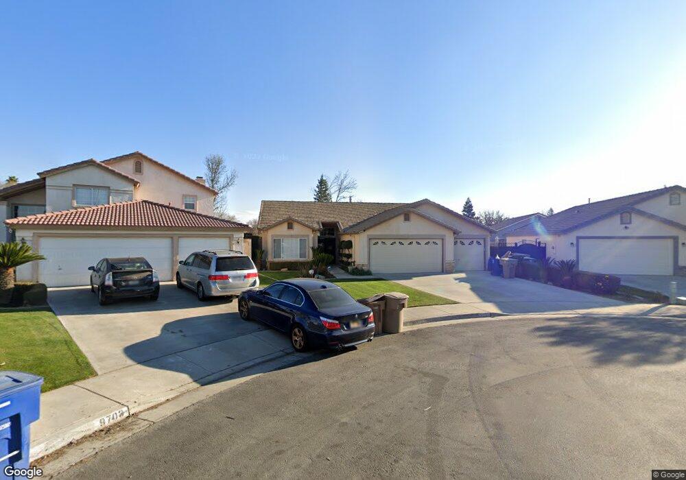
9707 Whitehead Ct Bakersfield, CA 93311
Tevis Ranch NeighborhoodEstimated Value: $391,000 - $439,000
4
Beds
2
Baths
1,777
Sq Ft
$232/Sq Ft
Est. Value
About This Home
This home is located at 9707 Whitehead Ct, Bakersfield, CA 93311 and is currently estimated at $412,103, approximately $231 per square foot. 9707 Whitehead Ct is a home located in Kern County with nearby schools including Old River Elementary School, Earl Warren Junior High School, and Stockdale High School.
Ownership History
Date
Name
Owned For
Owner Type
Purchase Details
Closed on
Feb 7, 1995
Sold by
Tevis Ranch L P
Bought by
Solorio Miguel and Solorio Kimberly
Current Estimated Value
Home Financials for this Owner
Home Financials are based on the most recent Mortgage that was taken out on this home.
Original Mortgage
$123,360
Interest Rate
9.03%
Mortgage Type
FHA
Create a Home Valuation Report for This Property
The Home Valuation Report is an in-depth analysis detailing your home's value as well as a comparison with similar homes in the area
Home Values in the Area
Average Home Value in this Area
Purchase History
| Date | Buyer | Sale Price | Title Company |
|---|---|---|---|
| Solorio Miguel | $125,000 | Chicago Title Company |
Source: Public Records
Mortgage History
| Date | Status | Borrower | Loan Amount |
|---|---|---|---|
| Previous Owner | Solorio Miguel | $123,360 |
Source: Public Records
Tax History Compared to Growth
Tax History
| Year | Tax Paid | Tax Assessment Tax Assessment Total Assessment is a certain percentage of the fair market value that is determined by local assessors to be the total taxable value of land and additions on the property. | Land | Improvement |
|---|---|---|---|---|
| 2025 | $3,241 | $209,423 | $52,054 | $157,369 |
| 2024 | $3,241 | $205,318 | $51,034 | $154,284 |
| 2023 | $3,192 | $201,293 | $50,034 | $151,259 |
| 2022 | $3,065 | $197,347 | $49,053 | $148,294 |
| 2021 | $2,950 | $193,479 | $48,092 | $145,387 |
| 2020 | $2,950 | $191,496 | $47,599 | $143,897 |
| 2019 | $2,811 | $191,496 | $47,599 | $143,897 |
| 2018 | $2,687 | $184,061 | $45,751 | $138,310 |
| 2017 | $2,700 | $180,453 | $44,854 | $135,599 |
| 2016 | $2,532 | $176,916 | $43,975 | $132,941 |
| 2015 | $2,511 | $174,260 | $43,315 | $130,945 |
| 2014 | $2,401 | $170,847 | $42,467 | $128,380 |
Source: Public Records
Map
Nearby Homes
- 9711 Touchstone Dr
- 9902 Rancho Verde Dr
- 9704 Gold Dust Dr
- 3812 Millay Way
- 9400 Hemingway Place
- 9609 Salinger St
- 10204 Sunset Canyon Dr
- 3105 Whisper Oak Way
- 10213 Single Oak Dr
- 9408 Nickam Ct
- 3223 Peace Rose St
- 10011 Rosebud Ave
- 10214 Pepperwood Dr
- 9800 Cabbage Rose Ave
- 9613 Bracken Oak Way
- 9814 Cabbage Rose Ave
- 4000 Clancy Ct
- 9209 Campus Park Ct
- 3010 Tea Rose St
- 3019 Violet Rose Ct
- 9703 Whitehead Ct
- 9711 Whitehead Ct
- 9706 Stonewood Ct
- 9710 Stonewood Ct
- 9702 Stonewood Ct
- 9702 Whitehead Ct
- 9706 Whitehead Ct
- 9710 Whitehead Ct
- 3609 Rancho Santa fe St
- 9703 Stonewood Ct
- 3605 Rancho Santa fe St
- 3613 Rancho Santa fe St
- 3601 Rancho Santa fe St
- 3617 Rancho Santa fe St
- 9707 Stonewood Ct
- 9707 Copper Ct
- 9711 Stonewood Ct
- 3527 Rancho Santa fe St
- 9711 Copper Ct
- 3703 Rancho Santa fe St