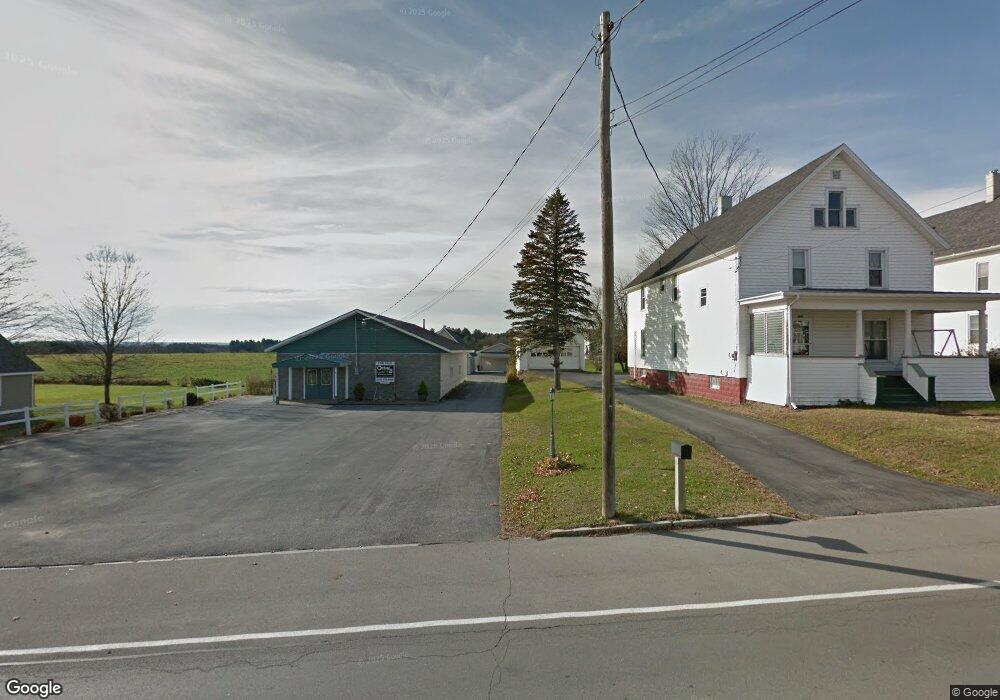
9721 State Route 812 Croghan, NY 13327
Estimated Value: $172,000 - $205,000
3
Beds
2
Baths
1,296
Sq Ft
$143/Sq Ft
Est. Value
About This Home
This home is located at 9721 State Route 812, Croghan, NY 13327 and is currently estimated at $184,784, approximately $142 per square foot. 9721 State Route 812 is a home with nearby schools including Beaver River Elementary School, Beaver River Middle School, and Beaver River Senior High School.
Ownership History
Date
Name
Owned For
Owner Type
Purchase Details
Closed on
Oct 3, 2022
Sold by
Lyndaker Wade E
Bought by
Moshier Scott
Current Estimated Value
Purchase Details
Closed on
Oct 4, 2017
Sold by
Aucter Deborah
Bought by
Lyndaker Wade
Home Financials for this Owner
Home Financials are based on the most recent Mortgage that was taken out on this home.
Original Mortgage
$90,000
Interest Rate
3.78%
Mortgage Type
New Conventional
Purchase Details
Closed on
May 18, 2016
Sold by
Renaud Thomas
Bought by
Aucter Deborah
Purchase Details
Closed on
Oct 28, 2014
Sold by
Renaud Deborah
Bought by
Renaud Thomas
Create a Home Valuation Report for This Property
The Home Valuation Report is an in-depth analysis detailing your home's value as well as a comparison with similar homes in the area
Home Values in the Area
Average Home Value in this Area
Purchase History
| Date | Buyer | Sale Price | Title Company |
|---|---|---|---|
| Moshier Scott | $70,000 | None Available | |
| Lyndaker Wade | $120,000 | -- | |
| Aucter Deborah | -- | Jeffrey Reale | |
| Renaud Thomas | $200,000 | Timothy Farley |
Source: Public Records
Mortgage History
| Date | Status | Borrower | Loan Amount |
|---|---|---|---|
| Previous Owner | Lyndaker Wade | $90,000 |
Source: Public Records
Tax History Compared to Growth
Tax History
| Year | Tax Paid | Tax Assessment Tax Assessment Total Assessment is a certain percentage of the fair market value that is determined by local assessors to be the total taxable value of land and additions on the property. | Land | Improvement |
|---|---|---|---|---|
| 2024 | $2,683 | $102,500 | $7,300 | $95,200 |
| 2023 | $2,530 | $102,500 | $7,300 | $95,200 |
| 2022 | $2,448 | $102,500 | $7,300 | $95,200 |
| 2021 | $2,199 | $102,500 | $7,300 | $95,200 |
| 2020 | $2,308 | $102,500 | $7,300 | $95,200 |
| 2019 | $2,221 | $89,100 | $5,500 | $83,600 |
| 2018 | $2,221 | $89,100 | $5,500 | $83,600 |
| 2017 | $1,900 | $89,100 | $5,500 | $83,600 |
| 2016 | $3,149 | $89,100 | $5,500 | $83,600 |
| 2015 | -- | $89,100 | $5,500 | $83,600 |
| 2014 | -- | $89,100 | $5,500 | $83,600 |
Source: Public Records
Map
Nearby Homes
- 6882 Shady Ave
- 9693 State Route 812
- 9768 New York 812
- 7009 George St
- 9217 State Route 812
- 9673 State Route 126
- 8920 Artz Rd
- 000 Mattis Rd
- 6604 Widricks Trailer Park
- 7683 Lomber Rd
- 8295 State Route 812
- 7571 Snell Rd
- 7838 New York 812
- 5492 State Route 410
- 9606 Frank Kirch Rd
- 7259 Number Four Rd
- 9612 Bowman St
- 9512 Church St
- 11731 Jerden Falls Rd
- 00 New York 410
- 9719 State Route 812
- 6920 Shady Ave
- 6924 Shady Ave
- 6918 Shady Ave
- 6926 Shady Ave
- 9727 State Route 812
- 9733 State Route 812
- 6912 Shady Ave
- 9715 State Route 812
- 9709 State Route 812
- 9739 State Route 812
- 6921 Shady Ave
- 6906 Shady Ave
- 6923 Shady Ave
- 9707 State Route 812
- 9732 State Route 812
- 9736 State Route 812
- 9716 State Route 812
- 9714 State Route 812
- 6913 Shady Ave