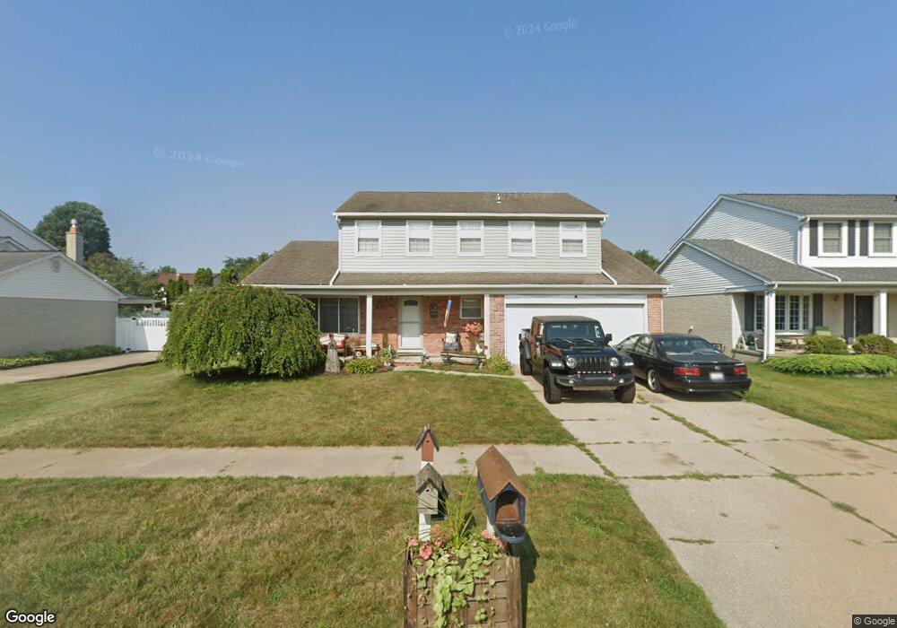
9752 Sil St Taylor, MI 48180
Estimated Value: $309,000 - $328,000
4
Beds
3
Baths
1,954
Sq Ft
$162/Sq Ft
Est. Value
About This Home
This home is located at 9752 Sil St, Taylor, MI 48180 and is currently estimated at $316,335, approximately $161 per square foot. 9752 Sil St is a home located in Wayne County with nearby schools including Holland Elementary School, Hoover Middle School, and Taylor High School.
Ownership History
Date
Name
Owned For
Owner Type
Purchase Details
Closed on
Sep 17, 2021
Sold by
Burgwardt Fred and Burgwardt Tammy L
Bought by
Bevins Janis and Bevins Carol E
Current Estimated Value
Purchase Details
Closed on
Aug 17, 2021
Sold by
Stander Lurene
Bought by
Burgwardt Fred
Purchase Details
Closed on
Oct 2, 2017
Sold by
Killingbeck Barbabra E
Bought by
Worrden Mary E
Purchase Details
Closed on
Sep 14, 2009
Sold by
Burgwardt Fred J and Estate Of Edward L Bakowski
Bought by
Burgwardt Fred J
Create a Home Valuation Report for This Property
The Home Valuation Report is an in-depth analysis detailing your home's value as well as a comparison with similar homes in the area
Home Values in the Area
Average Home Value in this Area
Purchase History
| Date | Buyer | Sale Price | Title Company |
|---|---|---|---|
| Bevins Janis | $139,000 | Fidelity National Ttl Group | |
| Burgwardt Fred | -- | Fidelity National Ttl Group | |
| Worrden Mary E | $34,000 | None Available | |
| Burgwardt Fred J | -- | None Available |
Source: Public Records
Tax History Compared to Growth
Tax History
| Year | Tax Paid | Tax Assessment Tax Assessment Total Assessment is a certain percentage of the fair market value that is determined by local assessors to be the total taxable value of land and additions on the property. | Land | Improvement |
|---|---|---|---|---|
| 2025 | $2,628 | $157,900 | $0 | $0 |
| 2024 | $2,628 | $133,100 | $0 | $0 |
| 2023 | $3,819 | $120,100 | $0 | $0 |
| 2022 | $6,906 | $108,600 | $0 | $0 |
| 2021 | $3,539 | $100,500 | $0 | $0 |
| 2020 | $3,649 | $92,500 | $0 | $0 |
| 2019 | $351,314 | $86,300 | $0 | $0 |
| 2018 | $2,154 | $73,400 | $0 | $0 |
| 2017 | $2,938 | $70,000 | $0 | $0 |
| 2016 | $3,484 | $68,000 | $0 | $0 |
| 2015 | $4,867 | $55,400 | $0 | $0 |
| 2013 | $4,850 | $49,500 | $0 | $0 |
| 2012 | $2,141 | $49,100 | $15,400 | $33,700 |
Source: Public Records
Map
Nearby Homes
- 9786 Princess St
- 9404 Princess St
- 9915 Beech Daly Rd
- 9756 Janet St
- 10051 Fairview St
- 8883 Beech Daly Rd
- 25315 Baker St
- 25737 Rusty St
- 8853 Beech Daly Rd
- 0 Goddard Unit 20251010304
- 25341 Kinyon St
- 10053 Michael St
- 11098 Partridge Dr Unit 12
- 11098 Partridge Dr
- 11081 Coventry Ct Unit 31
- 10057 Westlake St
- Bayberry Plan at Cypress Garden
- Bannister Plan at Cypress Garden
- Cypress Plan at Cypress Garden
- Evanston IV Plan at Cypress Garden