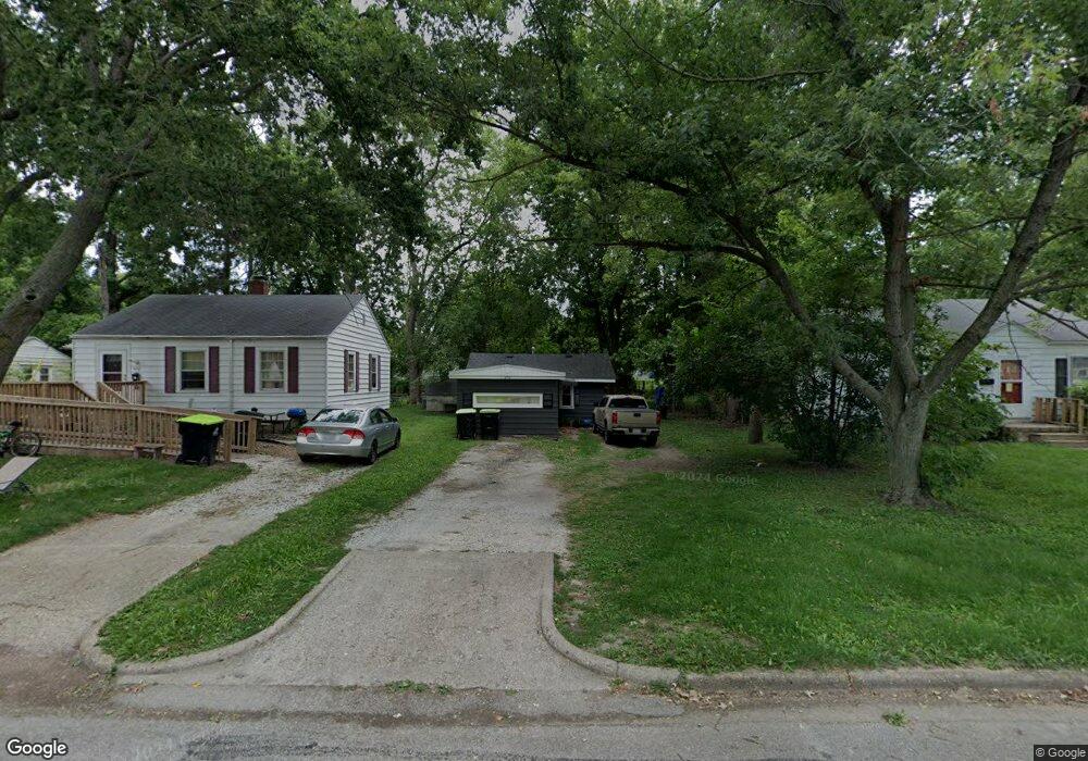
976 N Wilder Ave Decatur, IL 62522
Garfield Park NeighborhoodEstimated Value: $32,000 - $54,000
--
Bed
--
Bath
560
Sq Ft
$75/Sq Ft
Est. Value
About This Home
This home is located at 976 N Wilder Ave, Decatur, IL 62522 and is currently estimated at $42,258, approximately $75 per square foot. 976 N Wilder Ave is a home located in Macon County with nearby schools including Stephen Decatur Middle School and Northwest Christian Campus.
Ownership History
Date
Name
Owned For
Owner Type
Purchase Details
Closed on
Dec 7, 2022
Sold by
Ernst Richard V
Bought by
Duncan Eric L
Current Estimated Value
Purchase Details
Closed on
May 12, 2015
Sold by
Jmh Property Solutions 1 Llc
Bought by
Beasley Edward E and Land Trust
Purchase Details
Closed on
Dec 20, 2007
Sold by
Hall Jeffrey L
Bought by
Jmit Property Solutions I Llc
Purchase Details
Closed on
Nov 15, 2007
Sold by
King Wendy K
Bought by
Hall Jeffrey L
Purchase Details
Closed on
Jul 27, 2006
Sold by
Fornwalt Lois M
Bought by
King Wendy K
Create a Home Valuation Report for This Property
The Home Valuation Report is an in-depth analysis detailing your home's value as well as a comparison with similar homes in the area
Home Values in the Area
Average Home Value in this Area
Purchase History
| Date | Buyer | Sale Price | Title Company |
|---|---|---|---|
| Duncan Eric L | -- | -- | |
| Beasley Edward E | -- | None Available | |
| Jmit Property Solutions I Llc | -- | None Available | |
| Hall Jeffrey L | $25,000 | None Available | |
| King Wendy K | $4,000 | None Available |
Source: Public Records
Tax History Compared to Growth
Tax History
| Year | Tax Paid | Tax Assessment Tax Assessment Total Assessment is a certain percentage of the fair market value that is determined by local assessors to be the total taxable value of land and additions on the property. | Land | Improvement |
|---|---|---|---|---|
| 2024 | $480 | $4,955 | $436 | $4,519 |
| 2023 | $476 | $4,780 | $421 | $4,359 |
| 2022 | $448 | $4,383 | $389 | $3,994 |
| 2021 | $421 | $4,094 | $364 | $3,730 |
| 2020 | $415 | $3,904 | $348 | $3,556 |
| 2019 | $415 | $3,904 | $348 | $3,556 |
| 2018 | $442 | $4,205 | $241 | $3,964 |
| 2017 | $452 | $4,317 | $247 | $4,070 |
| 2016 | $461 | $4,362 | $250 | $4,112 |
| 2015 | $438 | $4,285 | $246 | $4,039 |
| 2014 | $473 | $4,898 | $973 | $3,925 |
| 2013 | $485 | $5,082 | $1,010 | $4,072 |
Source: Public Records
Map
Nearby Homes
- 917 N Wilder Ave
- 1451 W Marietta St
- 1065 W Green St
- 1319 W Waggoner St
- 266 Cobb Ave
- 1645 W Center St
- 958 W William St
- 1535 N Mcclellan Ave
- 1415 N Dennis Ave
- 1675 W Center St
- 1530 W Cushing St
- 837 W Grand Ave
- 875 N Monroe St
- 1005 W Main St
- 435 N Summit Ave
- 415 N Summit Ave
- 933 W Division St
- 1706 W Division St
- 254 N Pine St
- 1524 N Summit Ave
- 978 N Wilder Ave
- 962 N Wilder Ave
- 954 N Wilder Ave
- 977 N University Ave
- 946 N Wilder Ave
- 965 N Wilder Ave
- 1237 W Marietta St
- 981 N Wilder Ave
- 1245 W Marietta St
- 942 N Wilder Ave
- 1229 W Marietta St
- 953 N Wilder Ave
- 989 N Wilder Ave
- 1221 W Marietta St
- 965 N University Ave
- 961 N University Ave
- 981 N University Ave
- 1213 W Marietta St
- 997 N Wilder Ave
- 941 N Wilder Ave