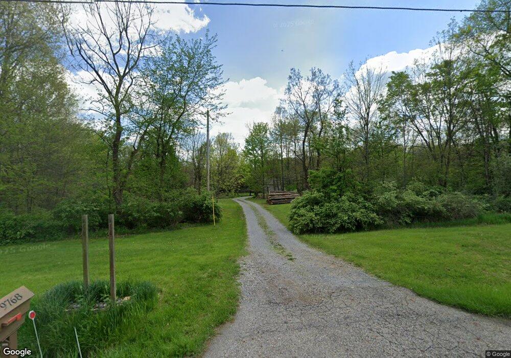
9768 State Route 305 Garrettsville, OH 44231
Estimated Value: $329,000 - $444,610
3
Beds
2
Baths
1,955
Sq Ft
$205/Sq Ft
Est. Value
About This Home
This home is located at 9768 State Route 305, Garrettsville, OH 44231 and is currently estimated at $401,653, approximately $205 per square foot. 9768 State Route 305 is a home located in Portage County with nearby schools including James A. Garfield Elementary School, James A. Garfield Middle School, and James A. Garfield High School.
Ownership History
Date
Name
Owned For
Owner Type
Purchase Details
Closed on
Dec 22, 2009
Sold by
Tretinik Burch Cheryl A
Bought by
Vanoss Daniel R and Van Oss Julie A
Current Estimated Value
Purchase Details
Closed on
Oct 22, 2002
Sold by
Vanhorn Edward A
Bought by
Burch Christopher W and Tretinik Burch Cheryl A
Home Financials for this Owner
Home Financials are based on the most recent Mortgage that was taken out on this home.
Original Mortgage
$155,700
Interest Rate
7.25%
Create a Home Valuation Report for This Property
The Home Valuation Report is an in-depth analysis detailing your home's value as well as a comparison with similar homes in the area
Home Values in the Area
Average Home Value in this Area
Purchase History
| Date | Buyer | Sale Price | Title Company |
|---|---|---|---|
| Vanoss Daniel R | $171,000 | None Available | |
| Burch Christopher W | $42,000 | Midland Title Security Inc |
Source: Public Records
Mortgage History
| Date | Status | Borrower | Loan Amount |
|---|---|---|---|
| Previous Owner | Burch Christopher W | $155,700 |
Source: Public Records
Tax History Compared to Growth
Tax History
| Year | Tax Paid | Tax Assessment Tax Assessment Total Assessment is a certain percentage of the fair market value that is determined by local assessors to be the total taxable value of land and additions on the property. | Land | Improvement |
|---|---|---|---|---|
| 2024 | $4,298 | $118,200 | $23,450 | $94,750 |
| 2023 | $3,778 | $90,900 | $16,910 | $73,990 |
| 2022 | $3,782 | $90,900 | $16,910 | $73,990 |
| 2021 | $3,668 | $90,900 | $16,910 | $73,990 |
| 2020 | $3,123 | $75,570 | $16,910 | $58,660 |
| 2019 | $3,130 | $75,570 | $16,910 | $58,660 |
| 2018 | $3,430 | $67,200 | $16,380 | $50,820 |
| 2017 | $3,228 | $67,200 | $16,380 | $50,820 |
| 2016 | $3,133 | $67,200 | $16,380 | $50,820 |
| 2015 | $3,149 | $67,200 | $16,380 | $50,820 |
| 2014 | $3,204 | $67,200 | $16,380 | $50,820 |
| 2013 | $3,178 | $67,200 | $16,380 | $50,820 |
Source: Public Records
Map
Nearby Homes
- 11316 Nicholson Rd
- 0 Parkman Unit 5040066
- 5429 U S 422
- 11081 Brosius Rd
- V/L 4 & 5 Center Rd
- 12977 Main Market Rd
- 8127 Garfield Dr
- 8540 Riverview Dr
- 12525 Brosius Rd
- 8388 Garfield Dr
- 11769 Mills Rd Unit 1
- 10376 Brosius Rd Unit 25
- 12707 Brosius Rd
- 12157 State Route 88
- 12947 Brosius Rd
- 7972 State Route 305
- 16790 Main Market Rd
- 8210 Maple Ave
- 12954 State Route 88
- VL Ohio 82
- 9748 State Route 305
- 11604 Bloom Rd
- 11593 Bloom Rd
- 9706 State Route 305
- 11565 Bloom Rd
- 11747 Nelson Ledge Rd
- 11761 Nelson Ledge Rd
- 11489 Bloom Rd
- 11529 Bloom Rd
- 11775 Nelson Ledge Rd
- 11775 State Route 282
- 11775 State Route 282
- 11447 Bloom Rd
- 11417 Bloom Rd
- 9595 State Route 305
- 11411 Bloom Rd
- 11791 Nelson Ledge Rd
- 11438 Bloom Rd
- 11407 Bloom Rd
- 11394 Bloom Rd