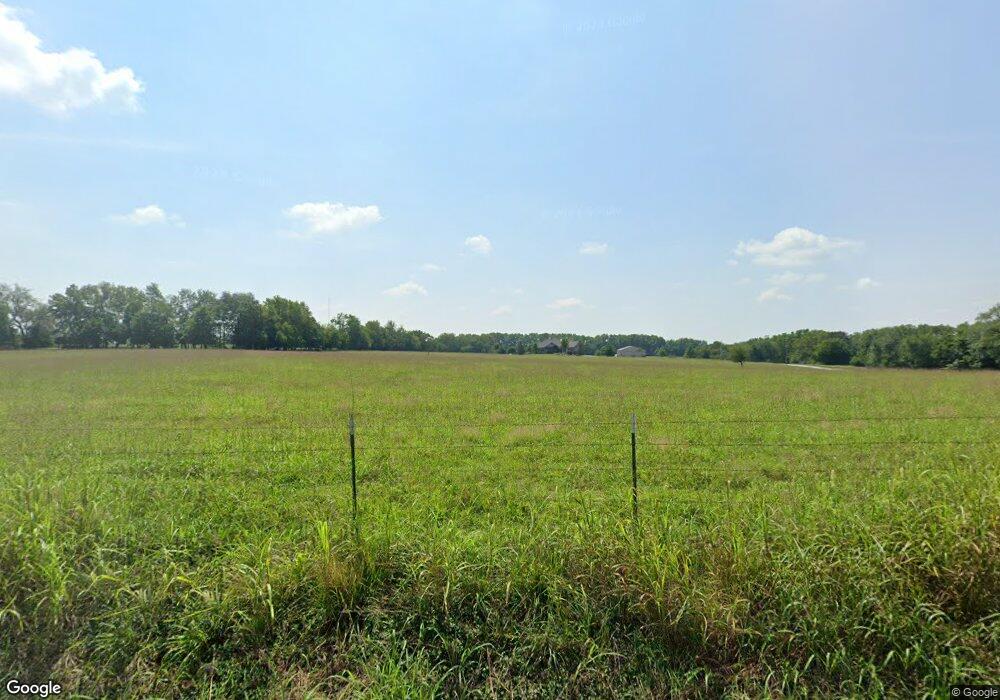
9799 W Farm Road 168 Republic, MO 65738
Estimated Value: $133,000
1
Bed
1
Bath
924
Sq Ft
$144/Sq Ft
Est. Value
About This Home
This home is located at 9799 W Farm Road 168, Republic, MO 65738 and is currently priced at $133,000, approximately $143 per square foot. 9799 W Farm Road 168 is a home located in Greene County with nearby schools including Price Elementary School, Republic Middle School, and Republic High School.
Ownership History
Date
Name
Owned For
Owner Type
Purchase Details
Closed on
Dec 21, 2023
Sold by
Trout Robert Mark and Trout Julie Ann
Bought by
Robert And Julie Trout Map Trust and Trout
Current Estimated Value
Purchase Details
Closed on
Oct 29, 2010
Sold by
White Dennis L and White Barbara L
Bought by
Rose Warren and Rose Sherri
Purchase Details
Closed on
May 12, 2010
Sold by
Trout R Mark and Trout Julie Ann
Bought by
Chickmagnet Properties Llc
Create a Home Valuation Report for This Property
The Home Valuation Report is an in-depth analysis detailing your home's value as well as a comparison with similar homes in the area
Home Values in the Area
Average Home Value in this Area
Purchase History
| Date | Buyer | Sale Price | Title Company |
|---|---|---|---|
| Robert And Julie Trout Map Trust | -- | None Listed On Document | |
| Trout Robert Mark | -- | None Listed On Document | |
| Rose Warren | -- | Lincoln Land Title | |
| Rose Warren | -- | Lincoln Land Title Inc | |
| Chickmagnet Properties Llc | -- | None Available |
Source: Public Records
Tax History Compared to Growth
Tax History
| Year | Tax Paid | Tax Assessment Tax Assessment Total Assessment is a certain percentage of the fair market value that is determined by local assessors to be the total taxable value of land and additions on the property. | Land | Improvement |
|---|---|---|---|---|
| 2023 | $837 | $16,340 | $7,250 | $9,090 |
| 2022 | $897 | $17,440 | $7,250 | $10,190 |
| 2021 | $897 | $17,440 | $7,250 | $10,190 |
| 2020 | $853 | $16,320 | $7,250 | $9,070 |
| 2019 | $850 | $16,320 | $7,250 | $9,070 |
| 2018 | $881 | $16,390 | $7,310 | $9,080 |
| 2017 | $0 | $10,700 | $7,310 | $3,390 |
| 2016 | $576 | $10,700 | $7,310 | $3,390 |
| 2015 | $575 | $10,700 | $7,310 | $3,390 |
| 2014 | $567 | $10,430 | $7,230 | $3,200 |
Source: Public Records
Map
Nearby Homes
- 141 E Kelce Ln
- 1367 N Harper Ridge Dr
- 188 E Kelce Ln
- 174 E Kelce Ln
- 205 E Kelce Ln
- 127 E Kelce Ln
- 162 E Kelce Ln
- 193 E Kelce Ln
- 119 E Clayton Ln
- 185 E Clayton Ln
- 184 E Clayton Ln
- 196 E Clayton Ln
- 170 E Clayton Ln
- 171 E Clayton Ln
- 197 E Clayton Ln
- 210 E Clayton Ln
- 167 E Kelce Ln
- 1412 N Carter Way
- 1376 N Carter Way
- 1388 N Carter Way
- 3905 S Farm Road 75
- 3983 S Farm Road 75
- 9519 W Farm Road 168
- N/A S Farm Road 75
- 0 Lot 25 Boston Heights Unit 11019876
- 4109 S Farm Road 75
- 3968 S Farm Road 75
- 3980 S Farm Road 75
- 3980 S Farm Road 75
- ? S Farm Rd 75
- 0 S Farm Rd 71 Unit 60099296
- 0 S Farm Rd 71 Unit 10902352
- 0 S Farm Rd 71 Unit 11007286
- 0 S Farm Rd 71 Unit 11204609
- 0 S Farm Rd 71 Unit 11400832
- 9379 W Farm Road 168
- 3642 S Farm Road 69
- 26 Acres S Farm Road 69
- 35 Acres S Farm Road 69
- 000 W Farm Road 170
