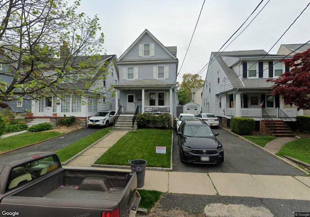
98 Brookside Place New Rochelle, NY 10801
Rochelle Heights NeighborhoodEstimated Value: $662,000 - $811,000
--
Bed
--
Bath
--
Sq Ft
3,920
Sq Ft Lot
About This Home
This home is located at 98 Brookside Place, New Rochelle, NY 10801 and is currently estimated at $711,462. 98 Brookside Place is a home located in Westchester County with nearby schools including William B. Ward Elementary School, Albert Leonard Middle School, and New Rochelle High School.
Ownership History
Date
Name
Owned For
Owner Type
Purchase Details
Closed on
May 7, 2010
Sold by
Freeman Lynette B and Coe Lynette B
Bought by
Coe Lynette B and Freeman Lynette B
Current Estimated Value
Home Financials for this Owner
Home Financials are based on the most recent Mortgage that was taken out on this home.
Original Mortgage
$165,000
Interest Rate
5.13%
Mortgage Type
New Conventional
Purchase Details
Closed on
Dec 20, 1995
Sold by
Freeman Thomas A and Freeman Lynette B
Bought by
Freeman Lynette B
Create a Home Valuation Report for This Property
The Home Valuation Report is an in-depth analysis detailing your home's value as well as a comparison with similar homes in the area
Home Values in the Area
Average Home Value in this Area
Purchase History
| Date | Buyer | Sale Price | Title Company |
|---|---|---|---|
| Coe Lynette B | -- | Tristate Title Agency Llc | |
| Freeman Lynette B | -- | -- |
Source: Public Records
Mortgage History
| Date | Status | Borrower | Loan Amount |
|---|---|---|---|
| Closed | Coe Lynette B | $165,000 |
Source: Public Records
Tax History Compared to Growth
Tax History
| Year | Tax Paid | Tax Assessment Tax Assessment Total Assessment is a certain percentage of the fair market value that is determined by local assessors to be the total taxable value of land and additions on the property. | Land | Improvement |
|---|---|---|---|---|
| 2024 | $14,611 | $10,500 | $1,300 | $9,200 |
| 2023 | $11,474 | $10,500 | $1,300 | $9,200 |
| 2022 | $12,332 | $10,500 | $1,300 | $9,200 |
| 2021 | $12,269 | $10,500 | $1,300 | $9,200 |
| 2020 | $9,924 | $10,500 | $1,300 | $9,200 |
| 2019 | $11,365 | $10,500 | $1,300 | $9,200 |
| 2018 | $9,347 | $10,500 | $1,300 | $9,200 |
| 2017 | $1,803 | $10,500 | $1,300 | $9,200 |
| 2016 | $10,152 | $10,500 | $1,300 | $9,200 |
| 2015 | $8,312 | $10,500 | $1,300 | $9,200 |
| 2014 | $8,312 | $10,500 | $1,300 | $9,200 |
| 2013 | $8,312 | $10,500 | $1,300 | $9,200 |
Source: Public Records
Map
Nearby Homes
- 1 Slocum St
- 43 Treno St
- 20 Treno St
- 72 Hamilton Ave
- 34 Hilltop Ave
- 12 Congress St
- 29 Brookdale Ave
- 14 Hamilton Ave
- 0 Hilltop Ave
- 308 5th Ave
- 51 White Oak St Unit 2A
- 51 White Oak St Unit 2E
- 51 White Oak St Unit 1H
- 61 White Oak St Unit 4B
- 50 White Oak St Unit 4B
- 50 White Oak St Unit 3G
- 60 White Oak St Unit 2H
- 17 Mount Joy Place
- 138 Mount Joy Place
- 37 Horton Ave
- 102 Brookside Place
- 96 Brookside Place
- 104 Brookside Place
- 106 Brookside Place
- 92 Brookside Place
- 55 Howard Pkwy
- 51 Howard Pkwy Unit 2
- 51 Howard Pkwy
- 57 Howard Pkwy
- 88 Brookside Place
- 110 Brookside Place
- 47 Howard Pkwy
- 63 Howard Pkwy
- 95 Brookside Place
- 45 Howard Pkwy
- 93 Brookside Place
- 99 Brookside Place
- 99 Brookside Place Unit 2
- 99 Brookside Place Unit 1
- 67 Howard Pkwy