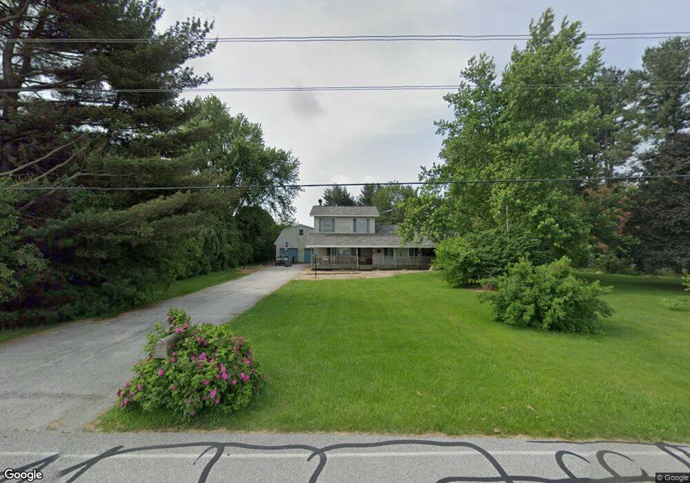
98 E 100 S Valparaiso, IN 46383
Porter County NeighborhoodEstimated Value: $471,000 - $798,000
7
Beds
5
Baths
6,272
Sq Ft
$107/Sq Ft
Est. Value
About This Home
This home is located at 98 E 100 S, Valparaiso, IN 46383 and is currently estimated at $668,457, approximately $106 per square foot. 98 E 100 S is a home located in Porter County with nearby schools including Morgan Township Elementary School and Morgan Township Middle/High School.
Ownership History
Date
Name
Owned For
Owner Type
Purchase Details
Closed on
Dec 22, 2015
Sold by
Semento Dominic E and Semento Georgia
Bought by
Silvert Michael E
Current Estimated Value
Home Financials for this Owner
Home Financials are based on the most recent Mortgage that was taken out on this home.
Original Mortgage
$232,700
Outstanding Balance
$184,576
Interest Rate
3.96%
Mortgage Type
New Conventional
Estimated Equity
$483,881
Purchase Details
Closed on
Jul 12, 2012
Sold by
Semento Dominic E and Semento Georgia
Bought by
Silvert Michael E and Silvert Debra K
Create a Home Valuation Report for This Property
The Home Valuation Report is an in-depth analysis detailing your home's value as well as a comparison with similar homes in the area
Home Values in the Area
Average Home Value in this Area
Purchase History
| Date | Buyer | Sale Price | Title Company |
|---|---|---|---|
| Silvert Michael E | -- | None Available | |
| Silvert Michael E | -- | None Available |
Source: Public Records
Mortgage History
| Date | Status | Borrower | Loan Amount |
|---|---|---|---|
| Open | Silvert Michael E | $232,700 |
Source: Public Records
Tax History Compared to Growth
Tax History
| Year | Tax Paid | Tax Assessment Tax Assessment Total Assessment is a certain percentage of the fair market value that is determined by local assessors to be the total taxable value of land and additions on the property. | Land | Improvement |
|---|---|---|---|---|
| 2024 | $4,514 | $641,600 | $53,900 | $587,700 |
| 2023 | $4,374 | $613,200 | $47,400 | $565,800 |
| 2022 | $4,215 | $547,000 | $47,400 | $499,600 |
| 2021 | $3,908 | $476,400 | $47,400 | $429,000 |
| 2020 | $3,481 | $429,800 | $41,200 | $388,600 |
| 2019 | $3,092 | $371,600 | $41,200 | $330,400 |
| 2018 | $2,956 | $362,100 | $41,200 | $320,900 |
| 2017 | $2,884 | $358,600 | $41,200 | $317,400 |
| 2016 | $2,611 | $336,700 | $42,200 | $294,500 |
| 2014 | $2,717 | $326,400 | $40,800 | $285,600 |
| 2013 | -- | $314,600 | $41,200 | $273,400 |
Source: Public Records
Map
Nearby Homes
- 0 Smoke Rd
- 48 E Division Rd
- 197 Appaloosa Ln
- 3359 Blue Jay Dr
- 501 Eagle Ct
- 3353 Field Hawk Dr
- 3251 Mockingbird Ln
- 239 Bayberry Ct
- 3152 Heavilin Rd
- 2054 Lawndale Dr
- 279 S State Road 49
- 232 E 250 S
- 1954 Lawndale Dr
- 2655 Vivante Dr
- 323 E 124 S
- 1556 Smoke Rd
- 2658 Arran Quay Terrace
- 1465 Clark Rd
- 1284 Rowley St
- 857 S Cedar Ln