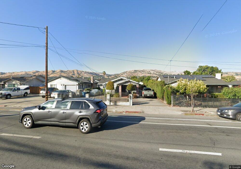
98 N White Rd San Jose, CA 95127
Alum Rock NeighborhoodEstimated Value: $898,203 - $1,148,000
2
Beds
1
Bath
1,148
Sq Ft
$896/Sq Ft
Est. Value
About This Home
This home is located at 98 N White Rd, San Jose, CA 95127 and is currently estimated at $1,028,551, approximately $895 per square foot. 98 N White Rd is a home located in Santa Clara County with nearby schools including Linda Vista Elementary School, Joseph George Middle School, and James Lick High School.
Ownership History
Date
Name
Owned For
Owner Type
Purchase Details
Closed on
Jun 20, 2000
Sold by
Costa Jose M and Costa Maria S
Bought by
Costa Jose Manuel
Current Estimated Value
Purchase Details
Closed on
Apr 8, 1998
Sold by
Costa Jose M
Bought by
Costa Jose Manuel and Costa Maria S
Purchase Details
Closed on
Dec 7, 1993
Sold by
Prenda Jeronimo B
Bought by
Costa Jose Manuel
Home Financials for this Owner
Home Financials are based on the most recent Mortgage that was taken out on this home.
Original Mortgage
$114,000
Interest Rate
6.89%
Create a Home Valuation Report for This Property
The Home Valuation Report is an in-depth analysis detailing your home's value as well as a comparison with similar homes in the area
Home Values in the Area
Average Home Value in this Area
Purchase History
| Date | Buyer | Sale Price | Title Company |
|---|---|---|---|
| Costa Jose Manuel | $45,000 | -- | |
| Costa Jose Manuel | -- | -- | |
| Costa Jose Manuel | $57,000 | Old Republic Title Company |
Source: Public Records
Mortgage History
| Date | Status | Borrower | Loan Amount |
|---|---|---|---|
| Closed | Costa Jose Manuel | $114,000 |
Source: Public Records
Tax History Compared to Growth
Tax History
| Year | Tax Paid | Tax Assessment Tax Assessment Total Assessment is a certain percentage of the fair market value that is determined by local assessors to be the total taxable value of land and additions on the property. | Land | Improvement |
|---|---|---|---|---|
| 2025 | $4,341 | $250,872 | $120,953 | $129,919 |
| 2024 | $4,341 | $245,954 | $118,582 | $127,372 |
| 2023 | $4,222 | $241,132 | $116,257 | $124,875 |
| 2022 | $4,091 | $236,405 | $113,978 | $122,427 |
| 2021 | $3,941 | $231,771 | $111,744 | $120,027 |
| 2020 | $3,855 | $229,396 | $110,599 | $118,797 |
| 2019 | $3,771 | $224,899 | $108,431 | $116,468 |
| 2018 | $3,750 | $220,490 | $106,305 | $114,185 |
| 2017 | $3,765 | $216,168 | $104,221 | $111,947 |
| 2016 | $3,575 | $211,930 | $102,178 | $109,752 |
| 2015 | $3,578 | $208,748 | $100,644 | $108,104 |
| 2014 | $3,497 | $204,660 | $98,673 | $105,987 |
Source: Public Records
Map
Nearby Homes
- 160 Talmadge Ave
- 80 Pickford Ave
- 124 Cedar Ln
- 3101 Starburst Ct
- 207 N Claremont Ave
- 75 S Cragmont Ave
- 3014 Florence Ave
- 2925 Florence Ave Unit 17
- 2925 Florence Ave Unit 67
- 2925 Florence Ave Unit 82
- 292 N Cragmont Ave
- 3405 E Hills Dr
- 58 Clareview Ave
- 259 N Capitol Ave Unit 131
- 259 N Capitol Ave Unit 171
- 259 N Capitol Ave Unit 116
- 0 Gordon Blvd Unit 231524
- 0 Gordon Blvd Unit FR25034343
- 0 Gordon Blvd Unit 625465
- 0 Gordon Blvd Unit SR23111317
- 100 N White Rd
- 94 N White Rd
- 104 N White Rd
- 92 N White Rd
- 106 N White Rd
- 86 N White Rd
- 179 Talmadge Ave
- 177 Talmadge Ave
- 84 N White Rd
- 181 Talmadge Ave
- 173 Talmadge Ave
- 110 N White Rd
- 175 Talmadge Ave
- 183 Talmadge Ave
- 78 N White Rd
- 112 N White Rd
- 151 Talmadge Ave
- 185 Talmadge Ave
- 157 Talmadge Ave
- 76 N White Rd