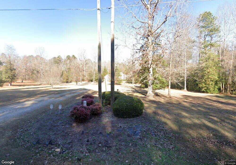
980 Nc 98 Hwy W Louisburg, NC 27549
Estimated Value: $365,000 - $404,877
3
Beds
3
Baths
1,869
Sq Ft
$208/Sq Ft
Est. Value
About This Home
This home is located at 980 Nc 98 Hwy W, Louisburg, NC 27549 and is currently estimated at $388,969, approximately $208 per square foot. 980 Nc 98 Hwy W is a home located in Franklin County with nearby schools including Bunn Elementary School, Bunn Middle School, and Bunn High School.
Ownership History
Date
Name
Owned For
Owner Type
Purchase Details
Closed on
Nov 21, 2024
Sold by
Jenkins Linda Spaugh and Jenkins Pamela H
Bought by
Milner Felix and Milner Joan
Current Estimated Value
Home Financials for this Owner
Home Financials are based on the most recent Mortgage that was taken out on this home.
Original Mortgage
$284,900
Outstanding Balance
$281,888
Interest Rate
6.32%
Mortgage Type
New Conventional
Estimated Equity
$107,081
Create a Home Valuation Report for This Property
The Home Valuation Report is an in-depth analysis detailing your home's value as well as a comparison with similar homes in the area
Home Values in the Area
Average Home Value in this Area
Purchase History
| Date | Buyer | Sale Price | Title Company |
|---|---|---|---|
| Milner Felix | $370,000 | None Listed On Document |
Source: Public Records
Mortgage History
| Date | Status | Borrower | Loan Amount |
|---|---|---|---|
| Open | Milner Felix | $284,900 |
Source: Public Records
Tax History Compared to Growth
Tax History
| Year | Tax Paid | Tax Assessment Tax Assessment Total Assessment is a certain percentage of the fair market value that is determined by local assessors to be the total taxable value of land and additions on the property. | Land | Improvement |
|---|---|---|---|---|
| 2025 | $2,011 | $333,560 | $91,280 | $242,280 |
| 2024 | $1,978 | $333,560 | $91,280 | $242,280 |
| 2023 | $1,937 | $212,400 | $41,750 | $170,650 |
| 2022 | $1,927 | $212,400 | $41,750 | $170,650 |
| 2021 | $1,948 | $212,400 | $41,750 | $170,650 |
| 2020 | $1,960 | $212,400 | $41,750 | $170,650 |
| 2019 | $1,931 | $212,400 | $41,750 | $170,650 |
| 2018 | $1,929 | $212,400 | $41,750 | $170,650 |
| 2017 | $1,955 | $194,790 | $34,350 | $160,440 |
| 2016 | $2,024 | $194,790 | $34,350 | $160,440 |
| 2015 | $2,033 | $194,790 | $34,350 | $160,440 |
| 2014 | $1,903 | $194,790 | $34,350 | $160,440 |
Source: Public Records
Map
Nearby Homes
- 00 N Carolina 98
- 129 Dump Horton Rd
- 6964 Pearces Rd
- 6964 Pearce Rd
- 10 Chris Ridge Way
- 7030 Pearces Rd
- 80 Shartree Farms Ln
- 7187 Pearces Rd
- 0 N Carolina 98
- 216 Johnston St
- 5 Rogers Dr Unit 5
- 218 Warren Ave
- 7397 Pearces Rd
- 40.8 Acres Hwy 98
- 216 Brantleytown Rd
- 35 Cotton Dr
- 444 Barnette Rd
- 4009 Nc 39 Hwy S
- 60 Harley Ct
- 276 Floyd Rd
- 980 Nc 98 Hwy W
- 985 N Carolina 98
- 00 Nc 98 Hwy W
- 955 Nc 98 Hwy W
- 75 Gus McGhee Rd
- 1079 N Carolina 98
- 908 Nc 98 Hwy W
- 908 N Carolina 98
- 1088 Nc 98 Hwy W
- 35 Azalea Dr
- 80 Azalea Dr
- 0 Nc 98 Hwy Unit 829649
- 0 Nc 98 Hwy Unit 925910
- 0 Nc 98 Hwy Unit 903039
- 0 Nc 98 Hwy Unit TR2498185
- 0 Nc 98 Hwy Unit TR2060284
- 0 Nc 98 Hwy Unit TR2169738
- 0 Nc 98 Hwy Unit TR2254919
- 0 Nc 98 Hwy Unit TR2255546
- 0 Nc 98 Hwy Unit TR2298727