9824 Blueridge Cir Pilot Point, TX 76258
Estimated Value: $1,169,966 - $1,440,000
4
Beds
4
Baths
4,128
Sq Ft
$313/Sq Ft
Est. Value
About This Home
This home is located at 9824 Blueridge Cir, Pilot Point, TX 76258 and is currently estimated at $1,292,655, approximately $313 per square foot. 9824 Blueridge Cir is a home located in Denton County with nearby schools including Pilot Point Early Childhood Center, Pilot Point Elementary School, and Pilot Point Middle School.
Ownership History
Date
Name
Owned For
Owner Type
Purchase Details
Closed on
Apr 1, 2024
Sold by
Mcelearney Bonnie and Ambrose Donald Frederick
Bought by
Donald And Bonnie Ambrose Revocable Trust and Ambrose
Current Estimated Value
Purchase Details
Closed on
Mar 28, 2014
Sold by
Kille Richard and Kille Stephanie
Bought by
Ambrose Don and Mcelearney Bonnie
Home Financials for this Owner
Home Financials are based on the most recent Mortgage that was taken out on this home.
Original Mortgage
$400,000
Interest Rate
4.32%
Mortgage Type
New Conventional
Purchase Details
Closed on
Nov 7, 2011
Sold by
555 Partners Ltd
Bought by
Kille Richard D
Home Financials for this Owner
Home Financials are based on the most recent Mortgage that was taken out on this home.
Original Mortgage
$100,000
Interest Rate
4.14%
Mortgage Type
Seller Take Back
Purchase Details
Closed on
Mar 6, 2009
Sold by
Kille Brandi
Bought by
Kille Richard D
Purchase Details
Closed on
May 24, 2007
Sold by
Prime Lots Llc
Bought by
Kille Richard D and Kille Brandi
Home Financials for this Owner
Home Financials are based on the most recent Mortgage that was taken out on this home.
Original Mortgage
$567,000
Interest Rate
6.17%
Mortgage Type
Purchase Money Mortgage
Purchase Details
Closed on
Feb 16, 2007
Sold by
Manton John E and Manton Barbara E
Bought by
Prime Lots Llc
Home Financials for this Owner
Home Financials are based on the most recent Mortgage that was taken out on this home.
Original Mortgage
$96,000
Interest Rate
6.17%
Mortgage Type
Purchase Money Mortgage
Purchase Details
Closed on
Mar 22, 2001
Sold by
One Terra Land Lgm Inc
Bought by
Manton John E and Manton Barbara E
Purchase Details
Closed on
Aug 31, 2000
Sold by
Breslin Michael James and Breslin Janene Elizabeth
Bought by
One Terra Land Lgm Inc
Purchase Details
Closed on
Oct 30, 1998
Sold by
One Terra Land Lgm Inc
Bought by
Breslin Michael James and Breslin Janene Elizabeth
Create a Home Valuation Report for This Property
The Home Valuation Report is an in-depth analysis detailing your home's value as well as a comparison with similar homes in the area
Home Values in the Area
Average Home Value in this Area
Purchase History
| Date | Buyer | Sale Price | Title Company |
|---|---|---|---|
| Donald And Bonnie Ambrose Revocable Trust | -- | None Listed On Document | |
| Ambrose Don | -- | None Available | |
| Ambrose Don | -- | None Available | |
| Kille Richard D | -- | Fnt | |
| Kille Richard D | -- | None Available | |
| Kille Richard D | -- | Stewart Title | |
| Prime Lots Llc | -- | Priority Title | |
| Manton John E | -- | -- | |
| One Terra Land Lgm Inc | -- | -- | |
| Breslin Michael James | -- | -- |
Source: Public Records
Mortgage History
| Date | Status | Borrower | Loan Amount |
|---|---|---|---|
| Previous Owner | Ambrose Don | $400,000 | |
| Previous Owner | Kille Richard D | $100,000 | |
| Previous Owner | Kille Richard D | $567,000 | |
| Previous Owner | Prime Lots Llc | $96,000 | |
| Closed | Kille Richard D | $0 |
Source: Public Records
Tax History Compared to Growth
Tax History
| Year | Tax Paid | Tax Assessment Tax Assessment Total Assessment is a certain percentage of the fair market value that is determined by local assessors to be the total taxable value of land and additions on the property. | Land | Improvement |
|---|---|---|---|---|
| 2025 | $5,246 | $1,222,080 | $404,580 | $819,824 |
| 2024 | $13,489 | $1,110,982 | $0 | $0 |
| 2023 | $5,267 | $1,009,984 | $404,580 | $872,442 |
| 2022 | $13,122 | $918,167 | $236,178 | $816,318 |
| 2021 | $12,050 | $834,697 | $179,495 | $655,202 |
| 2020 | $12,165 | $814,475 | $179,495 | $634,980 |
| 2019 | $12,893 | $808,075 | $179,495 | $628,580 |
| 2018 | $12,030 | $748,199 | $164,380 | $636,991 |
| 2017 | $11,008 | $680,181 | $151,154 | $529,027 |
| 2016 | $8,918 | $673,732 | $151,154 | $522,578 |
| 2015 | $9,191 | $681,260 | $151,154 | $530,106 |
| 2014 | $9,191 | $651,000 | $151,154 | $499,846 |
| 2013 | -- | $613,000 | $151,154 | $461,846 |
Source: Public Records
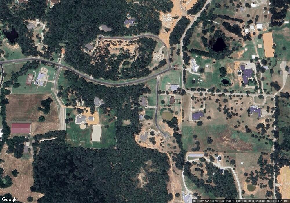
Map
Nearby Homes
- 10111 Bluffview Cir
- 10072 Bluffview Cir
- 10783 Stagecoach Pass
- 12886 Saint John Rd
- 9213 Scenic Dr
- 11176 Merrill Rd
- 12520 Farm To Market 455 E
- 2008 Sulky Ln
- 2048 Sulky Ln
- 2024 Sulky Ln
- 2036 Sulky Ln
- 2020 Sulky Ln
- 11000 Saint John Rd
- 2057 Sulky Ln
- 2005 Sulky Ln
- 2009 Sulky Ln
- 1417 Hydrangea Ct
- 7421 Dawn Ave
- 7545 Colton Ln
- 7321 Bright Place
- 9839 Blueridge Cir
- 9892 Blueridge Cir
- 9951 Bluffview Cir
- 10984 Stagecoach Pass
- TBD Bluffview Cir
- 10020 Bluffview Cir
- 11908 Saint John Rd
- 12928 Saint John Rd
- 10780 Stagecoach Pass
- 12665 Saint John Rd
- 6436 Valley Creek
- 6392 Valley Creek
- 12906 Saint John Rd
- 6322 Valley Creek
- 13371 Saint John Rd
- 6385 Valley Creek
- 6435 Valley Creek
- 6264 Valley Creek
- 10670 Stagecoach Pass
- 13429 Saint John Rd