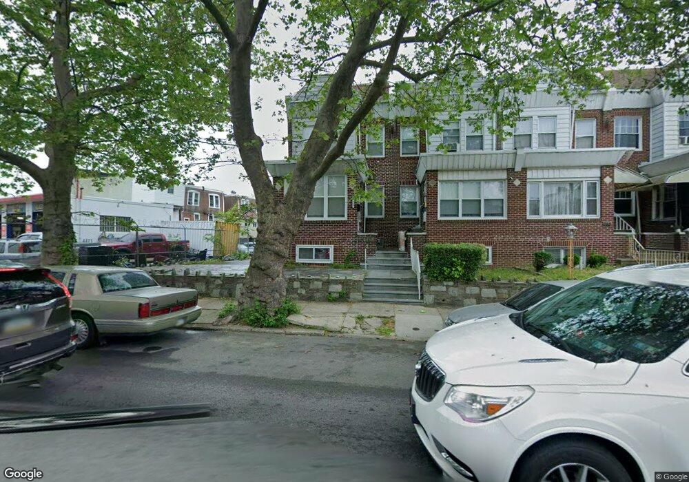
985 Pratt St Philadelphia, PA 19124
Lawncrest NeighborhoodEstimated Value: $221,000 - $250,000
3
Beds
2
Baths
1,480
Sq Ft
$161/Sq Ft
Est. Value
About This Home
This home is located at 985 Pratt St, Philadelphia, PA 19124 and is currently estimated at $238,885, approximately $161 per square foot. 985 Pratt St is a home located in Philadelphia County with nearby schools including Frankford High School, The Philadelphia Charter School for the Arts & Sciences, and Northwood Academy Charter School.
Ownership History
Date
Name
Owned For
Owner Type
Purchase Details
Closed on
Apr 22, 2011
Sold by
Scope Homes Inc
Bought by
Claudio Jesse
Current Estimated Value
Home Financials for this Owner
Home Financials are based on the most recent Mortgage that was taken out on this home.
Original Mortgage
$133,527
Outstanding Balance
$94,212
Interest Rate
5.37%
Mortgage Type
FHA
Estimated Equity
$144,673
Purchase Details
Closed on
Oct 6, 2010
Sold by
Ibuy Philly Llc
Bought by
Scope Homes Inc
Create a Home Valuation Report for This Property
The Home Valuation Report is an in-depth analysis detailing your home's value as well as a comparison with similar homes in the area
Home Values in the Area
Average Home Value in this Area
Purchase History
| Date | Buyer | Sale Price | Title Company |
|---|---|---|---|
| Claudio Jesse | $137,000 | None Available | |
| Scope Homes Inc | $49,000 | None Available | |
| Ibuy Philly Llc | $20,000 | None Available |
Source: Public Records
Mortgage History
| Date | Status | Borrower | Loan Amount |
|---|---|---|---|
| Open | Claudio Jesse | $133,527 |
Source: Public Records
Tax History Compared to Growth
Tax History
| Year | Tax Paid | Tax Assessment Tax Assessment Total Assessment is a certain percentage of the fair market value that is determined by local assessors to be the total taxable value of land and additions on the property. | Land | Improvement |
|---|---|---|---|---|
| 2026 | $2,501 | $225,400 | $45,080 | $180,320 |
| 2025 | $2,501 | $225,400 | $45,080 | $180,320 |
| 2024 | $2,501 | $225,400 | $45,080 | $180,320 |
| 2023 | $2,501 | $178,700 | $35,740 | $142,960 |
| 2022 | $1,177 | $133,700 | $35,740 | $97,960 |
| 2021 | $1,807 | $0 | $0 | $0 |
| 2020 | $1,807 | $0 | $0 | $0 |
| 2019 | $1,734 | $0 | $0 | $0 |
| 2018 | $1,775 | $0 | $0 | $0 |
| 2017 | $1,775 | $0 | $0 | $0 |
| 2016 | $1,355 | $0 | $0 | $0 |
| 2015 | $1,699 | $0 | $0 | $0 |
| 2014 | -- | $126,800 | $26,550 | $100,250 |
| 2012 | -- | $12,832 | $2,118 | $10,714 |
Source: Public Records
Map
Nearby Homes
- 1048 Bridge St
- 5505 Loretto Ave
- 5640 Miriam Rd
- 5659 Miriam Rd
- 5661 Miriam Rd
- 934 Brill St
- 4046 E Roosevelt Blvd
- 991 Carver St
- 996 Anchor St
- 934 E Sanger St
- 1137 Bridge St
- 894 Granite St
- 925 E Sanger St
- 880 Granite St
- 1204 Pratt St
- 894 E Sanger St
- 1225 E Cheltenham Ave
- 929 1/2 Anchor St
- 1052 Allengrove St
- 1211 E Cheltenham Ave
- 987 Pratt St
- 989 Pratt St
- 991 Pratt St
- 5215 Roosevelt Blvd
- 5217 Roosevelt Blvd
- 5204 Castor Ave
- 5202 Castor Ave
- 5206 Castor Ave
- 5219 Roosevelt Blvd
- 5208 Castor Ave
- 5210 Castor Ave
- 5200 Castor Ave
- 5212 Castor Ave
- 5223 Roosevelt Blvd
- 5221 Roosevelt Blvd
- 5214 Castor Ave
- 5148 Castor Ave
- 5216 Castor Ave
- 5225 Roosevelt Blvd
- 5227 Roosevelt Blvd