99 Barclay St Newtown, PA 18940
--
Bed
2
Baths
67,397
Sq Ft
5.57
Acres
About This Home
This home is located at 99 Barclay St, Newtown, PA 18940. 99 Barclay St is a home located in Bucks County with nearby schools including Newtown Elementary School, Newtown Middle School, and Council Rock High School North.
Ownership History
Date
Name
Owned For
Owner Type
Purchase Details
Closed on
Apr 10, 2013
Sold by
Bucks County Industrial Development Auth
Bought by
Chandler Hall Health Services Inc
Home Financials for this Owner
Home Financials are based on the most recent Mortgage that was taken out on this home.
Original Mortgage
$21,075,000
Outstanding Balance
$14,909,720
Interest Rate
3.52%
Mortgage Type
Future Advance Clause Open End Mortgage
Purchase Details
Closed on
Dec 18, 1985
Bought by
Bucks Co Ind Devt Auth
Create a Home Valuation Report for This Property
The Home Valuation Report is an in-depth analysis detailing your home's value as well as a comparison with similar homes in the area
Home Values in the Area
Average Home Value in this Area
Purchase History
| Date | Buyer | Sale Price | Title Company |
|---|---|---|---|
| Chandler Hall Health Services Inc | -- | Commonwealth Land Title Insu | |
| Bucks Co Ind Devt Auth | -- | -- |
Source: Public Records
Mortgage History
| Date | Status | Borrower | Loan Amount |
|---|---|---|---|
| Open | Chandler Hall Health Services Inc | $21,075,000 |
Source: Public Records
Tax History Compared to Growth
Tax History
| Year | Tax Paid | Tax Assessment Tax Assessment Total Assessment is a certain percentage of the fair market value that is determined by local assessors to be the total taxable value of land and additions on the property. | Land | Improvement |
|---|---|---|---|---|
| 2025 | -- | -- | -- | -- |
| 2023 | -- | -- | -- | -- |
| 2022 | $0 | $0 | $0 | $0 |
| 2021 | $0 | $0 | $0 | $0 |
| 2020 | $0 | $0 | $0 | $0 |
| 2019 | $0 | $0 | $0 | $0 |
| 2018 | $0 | $0 | $0 | $0 |
| 2017 | $0 | $0 | $0 | $0 |
| 2016 | -- | $0 | $0 | $0 |
| 2015 | -- | $0 | $0 | $0 |
| 2014 | -- | $0 | $0 | $0 |
Source: Public Records
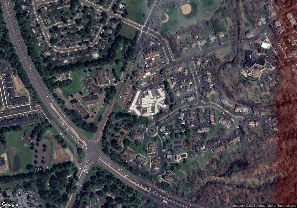
Map
Nearby Homes
- 8 Dunham Ln
- 7 Dunham Ln
- 1011 Diamond Dr Unit 1011
- 440 S State St Unit D3
- 31 Hillcroft Way
- 104 Cornell Rd
- 226 Court St
- 113 Thorton Ln
- 349 S Lincoln Ave
- 22 Penn St
- 337 S Lincoln Ave
- 113 Penn St
- 14 Chesapeake Dr
- 58 German Ave
- 80 Hershey Ct
- 313 Washington Ave
- 532 Penn St
- 163 Leedom Way Unit 25
- 143 N State St
- 41 Nathan Ct
- 99 Barclay St Unit THE STANFORD
- 99 Barclay St Unit COTTAGE A
- 99 Barclay St Unit COTTAGE D
- 12 Rosetree Ct
- 6 Buttonwood Ct
- 4 Greentree Ct
- 3 Greentree Ct
- 1 Heather Ct
- 3 Heather Ct
- 5 Heather Ct
- 7 Heather Ct
- 10 Rosetree Ct
- 11 Heather Ct
- 13 Heather Ct
- 7 Buttonwood Ct
- 15 Heather Ct
- 2 Rosetree Ct
- 4 Heather Ct
- 2 Heather Ct
- 6 Heather Ct