9925 Sperry Rd Maysville, AR 72747
Estimated Value: $414,195 - $602,000
--
Bed
2
Baths
2,608
Sq Ft
$183/Sq Ft
Est. Value
About This Home
This home is located at 9925 Sperry Rd, Maysville, AR 72747 and is currently estimated at $477,065, approximately $182 per square foot. 9925 Sperry Rd is a home located in Benton County with nearby schools including Glenn Duffy Elementary School, Gravette Upper Elementary School, and Gravette Middle School.
Ownership History
Date
Name
Owned For
Owner Type
Purchase Details
Closed on
Nov 16, 2000
Bought by
Sullivan 2P
Current Estimated Value
Purchase Details
Closed on
Nov 26, 1974
Bought by
Sperry
Create a Home Valuation Report for This Property
The Home Valuation Report is an in-depth analysis detailing your home's value as well as a comparison with similar homes in the area
Home Values in the Area
Average Home Value in this Area
Purchase History
| Date | Buyer | Sale Price | Title Company |
|---|---|---|---|
| Sullivan 2P | $485,000 | -- | |
| Sperry | -- | -- | |
| Sperry | $33,000 | -- |
Source: Public Records
Mortgage History
| Date | Status | Borrower | Loan Amount |
|---|---|---|---|
| Closed | Sperry | $110,000 |
Source: Public Records
Tax History Compared to Growth
Tax History
| Year | Tax Paid | Tax Assessment Tax Assessment Total Assessment is a certain percentage of the fair market value that is determined by local assessors to be the total taxable value of land and additions on the property. | Land | Improvement |
|---|---|---|---|---|
| 2025 | $1,013 | $43,800 | $10,623 | $33,177 |
| 2024 | $984 | $43,800 | $10,623 | $33,177 |
| 2023 | $1,018 | $29,560 | $4,100 | $25,460 |
| 2022 | $659 | $29,560 | $4,100 | $25,460 |
| 2021 | $615 | $29,560 | $4,100 | $25,460 |
| 2020 | $573 | $20,250 | $3,160 | $17,090 |
| 2019 | $573 | $20,250 | $3,160 | $17,090 |
| 2018 | $642 | $21,200 | $3,160 | $18,040 |
| 2017 | $1,284 | $21,200 | $3,160 | $18,040 |
| 2016 | $1,284 | $36,890 | $3,160 | $33,730 |
| 2015 | $1,749 | $39,470 | $2,760 | $36,710 |
| 2014 | $1,399 | $39,470 | $2,760 | $36,710 |
Source: Public Records
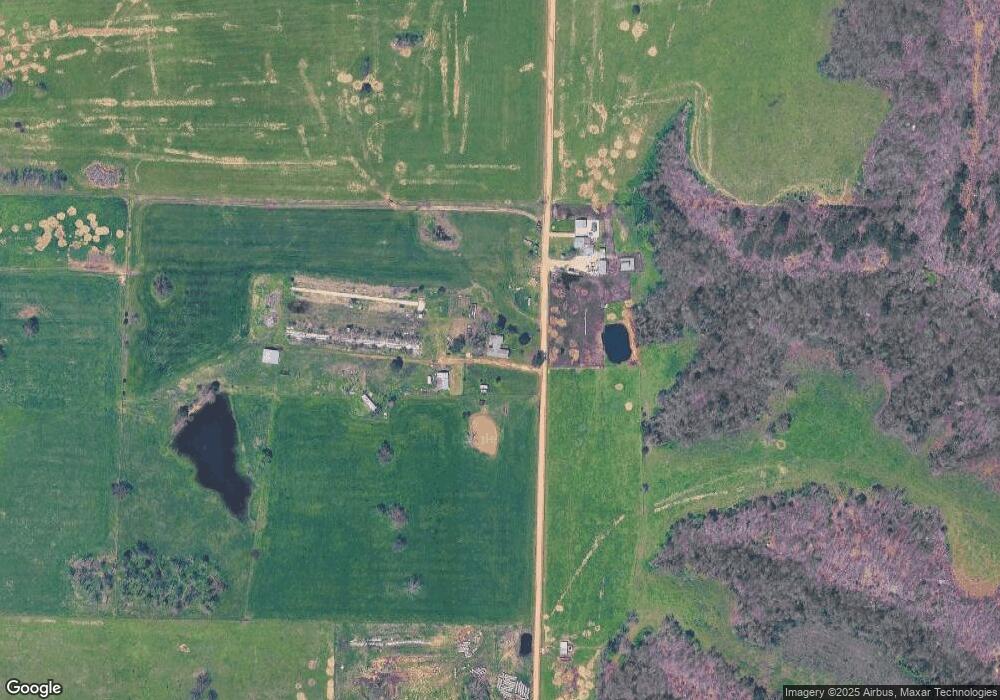
Map
Nearby Homes
- 10604 Arkansas 43
- 10918 Blue Bird Rd
- 0 Tucker Rd
- 40ac Tucker Rd
- . Tucker Rd
- TBD Georgia Flat Rd
- 0 W Mountain Rd Unit 1318276
- 11228 Benson Rd
- 0 Carlton Dr Unit 1312560
- 24530 Coon's Hollow Rd
- 22842 Carlton Dr
- 23775 Carlton Dr
- 22083 W Mountain Rd
- 24530 & 24540 Coon's Hollow Rd
- 24530 & 24540 Coon Hollow Rd
- 11138 Georgia Flat Rd
- 21897 E 458 Rd
- 0 Arkansas 43
- 0 Arkansas 43
- . Arkansas 43
- 9968 Sperry Rd
- 0 Sperry Rd
- 9702 Sperry Rd
- 9702 Sperry Rd
- 23901 Eaton Rd
- 10180 N Highway 43
- 23911 Eaton Rd
- 24471 Janes Ln
- 24601 Eaton Rd
- Rt. 1 0
- 10480 Sperry Rd
- 23659 W Highway 102
- 24611 Janes Ln
- 10031 N Highway 43
- 10063 N Highway 43
- 23907 Arkansas 102
- 2.85+/- Acres 23907 W Ar-102 Hwy
- 23647 W Highway 102 Unit 236
- 23647 Arkansas 102
- 10576 Sperry Rd