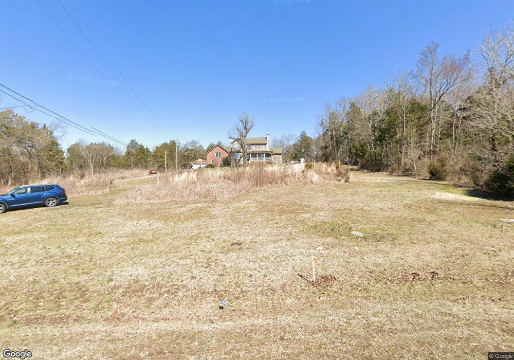
9927 Maxwell Ln Brentwood, TN 37027
Estimated Value: $903,817 - $1,585,000
--
Bed
3
Baths
2,354
Sq Ft
$478/Sq Ft
Est. Value
About This Home
This home is located at 9927 Maxwell Ln, Brentwood, TN 37027 and is currently estimated at $1,124,204, approximately $477 per square foot. 9927 Maxwell Ln is a home located in Williamson County with nearby schools including Nolensville Elementary School, Mill Creek Middle School, and Nolensville High School.
Ownership History
Date
Name
Owned For
Owner Type
Purchase Details
Closed on
Jan 20, 2011
Sold by
Cupit Karin M
Bought by
Cupit James Thomas
Current Estimated Value
Home Financials for this Owner
Home Financials are based on the most recent Mortgage that was taken out on this home.
Original Mortgage
$245,700
Outstanding Balance
$167,212
Interest Rate
4.82%
Mortgage Type
New Conventional
Estimated Equity
$956,992
Purchase Details
Closed on
Sep 16, 2002
Sold by
Clinton Johnny W and Clinton Peggy A
Bought by
Mcgeagh Karin M
Home Financials for this Owner
Home Financials are based on the most recent Mortgage that was taken out on this home.
Original Mortgage
$252,000
Interest Rate
6.3%
Create a Home Valuation Report for This Property
The Home Valuation Report is an in-depth analysis detailing your home's value as well as a comparison with similar homes in the area
Home Values in the Area
Average Home Value in this Area
Purchase History
| Date | Buyer | Sale Price | Title Company |
|---|---|---|---|
| Cupit James Thomas | -- | None Available | |
| Mcgeagh Karin M | $315,000 | -- |
Source: Public Records
Mortgage History
| Date | Status | Borrower | Loan Amount |
|---|---|---|---|
| Open | Cupit James Thomas | $245,700 | |
| Closed | Mcgeagh Karin M | $252,000 |
Source: Public Records
Tax History Compared to Growth
Tax History
| Year | Tax Paid | Tax Assessment Tax Assessment Total Assessment is a certain percentage of the fair market value that is determined by local assessors to be the total taxable value of land and additions on the property. | Land | Improvement |
|---|---|---|---|---|
| 2025 | $2,531 | $212,625 | $137,025 | $75,600 |
| 2024 | $2,531 | $116,650 | $55,675 | $60,975 |
| 2023 | $2,531 | $116,650 | $55,675 | $60,975 |
| 2022 | $2,531 | $116,650 | $55,675 | $60,975 |
| 2021 | $2,531 | $116,650 | $55,675 | $60,975 |
| 2020 | $2,307 | $91,900 | $37,100 | $54,800 |
| 2019 | $2,178 | $91,900 | $37,100 | $54,800 |
| 2018 | $2,114 | $91,900 | $37,100 | $54,800 |
| 2017 | $2,095 | $91,900 | $37,100 | $54,800 |
| 2016 | $2,068 | $91,900 | $37,100 | $54,800 |
| 2015 | -- | $75,800 | $28,550 | $47,250 |
| 2014 | -- | $75,800 | $28,550 | $47,250 |
Source: Public Records
Map
Nearby Homes
- 105 Stillwind Ct
- 149 Newnham Bridge Dr
- 105 Corbin Ct
- 1132 Waller Rd
- 1129 Waller Rd
- 1110 Waller Rd
- 9919 Maupin Rd
- 2477 Titans Ln
- St. James III Plan at Pasadena
- 1108 Waller Rd
- 1002 Pasadena Dr
- 793 Alameda Ave
- 1549 Eden Rose Place
- 1005 Brittain Downs Dr
- 1177 Waller Rd
- 4067 San Gabriel Ln
- 748 Alameda Ave
- 1095 Waller Rd
- 209 Gilchrist South Cir
- 2319 Tinney Place
- 9923 Maxwell Ln
- 9950 Maxwell Ln
- 9931 Maxwell Ln
- 1662 Sunset Park Dr
- 1664 Sunset Park Dr
- 1664 Sunset Rd
- 1670 Sunset Park Dr
- 1670 Sunset Rd
- 117 Stillwind Ct
- 1658 Sunset Park Dr
- 101 Stillwood Ct
- 1674 Sunset Rd
- 1674 Sunset Park Dr
- 113 Stillwind Ct
- 1654 Sunset Park Dr **Lot 33**
- 1654 Sunset Park Dr
- 134 Newnham Bridge Dr
- 1678 Sunset Park Dr
- 1678 Sunset Rd
- 121 Stillwind Ct