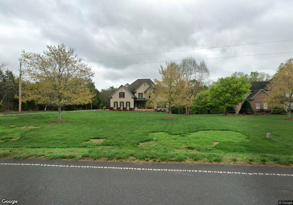
993 Hauser Rd Lewisville, NC 27023
Estimated Value: $865,000
4
Beds
4
Baths
4,848
Sq Ft
$178/Sq Ft
Est. Value
About This Home
This home is located at 993 Hauser Rd, Lewisville, NC 27023 and is currently priced at $865,000, approximately $178 per square foot. 993 Hauser Rd is a home located in Forsyth County with nearby schools including Lewisville Elementary School, Meadowlark Middle School, and West Forsyth High.
Ownership History
Date
Name
Owned For
Owner Type
Purchase Details
Closed on
Jan 27, 2021
Sold by
Allaire Sherry T
Bought by
Adams Michael Todd and Adams Kristi M
Current Estimated Value
Purchase Details
Closed on
Apr 6, 2009
Sold by
Adams Michael T and Adams Kristie M
Bought by
Adams Michael Todd and Adams Kristi M
Home Financials for this Owner
Home Financials are based on the most recent Mortgage that was taken out on this home.
Original Mortgage
$409,200
Interest Rate
5.14%
Mortgage Type
Stand Alone Refi Refinance Of Original Loan
Purchase Details
Closed on
May 5, 2006
Sold by
Miller Ronald E and Miller Frankie W
Bought by
Adams Michael T and Adams Kristie M
Create a Home Valuation Report for This Property
The Home Valuation Report is an in-depth analysis detailing your home's value as well as a comparison with similar homes in the area
Home Values in the Area
Average Home Value in this Area
Purchase History
| Date | Buyer | Sale Price | Title Company |
|---|---|---|---|
| Adams Michael Todd | -- | None Available | |
| Adams Michael Todd | -- | None Available | |
| Adams Michael T | -- | None Available |
Source: Public Records
Mortgage History
| Date | Status | Borrower | Loan Amount |
|---|---|---|---|
| Previous Owner | Adams Michael Todd | $409,200 |
Source: Public Records
Tax History Compared to Growth
Tax History
| Year | Tax Paid | Tax Assessment Tax Assessment Total Assessment is a certain percentage of the fair market value that is determined by local assessors to be the total taxable value of land and additions on the property. | Land | Improvement |
|---|---|---|---|---|
| 2021 | $4,260 | $640,900 | $59,600 | $581,300 |
| 2020 | $4,084 | $491,600 | $52,800 | $438,800 |
| 2019 | $4,133 | $491,600 | $52,800 | $438,800 |
| 2018 | $3,968 | $491,600 | $52,800 | $438,800 |
| 2016 | $3,435 | $423,585 | $49,355 | $374,230 |
| 2015 | $3,435 | $423,585 | $49,355 | $374,230 |
| 2014 | $3,367 | $423,585 | $49,355 | $374,230 |
Source: Public Records
Map
Nearby Homes
- Roller Mill Plan at Montrachet
- Roller Mill II Plan at Montrachet
- Oak Crest Plan at Montrachet
- Heritage Bridge Plan at Montrachet
- 937 Montrachet Ct
- 1287 Creek Knoll Dr
- 1317 Creek Knoll Dr
- 1329 Creek Knoll Dr
- 1335 Creek Knoll Dr
- 814 Montrachet Ct
- 834 Montrachet Ct
- 1430 Messick Oaks Trail
- 9340 Eden Grove Ct
- 9363 Eden Grove Ct
- 1492 Williams Rd
- 1099 Cresthaven Rd
- 0 Hauser Rd
- 8265 Shallowford Rd
- 9190 Top Ridge Ct
- 9447 Lissara Camp Ct
- 1005 Hauser Rd
- 951 Hauser Rd
- 1020 Hauser Rd
- 797 Hauser Rd
- 797 Hauser Rd
- 1011 Hauser Rd
- 1090 Hauser Rd
- 7518 Montrachet Dr
- 808 Hauser Rd
- 151 Deer Run Dr
- 761 Hauser Rd
- 790 Hauser Rd
- 7530 Montrachet Dr
- 437 Brooke Hill Dr
- 7519 Montrachet Dr
- 1139 Hauser Rd
- 443 Brooke Hill Dr
- 754 Hauser Rd
- 467 Brooke Hill Dr
- 449 Brooke Hill Dr