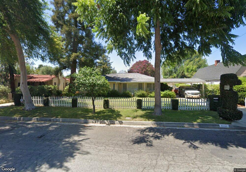
9933 Howland Dr Temple City, CA 91780
Estimated Value: $1,437,000 - $1,699,000
4
Beds
3
Baths
2,811
Sq Ft
$545/Sq Ft
Est. Value
About This Home
This home is located at 9933 Howland Dr, Temple City, CA 91780 and is currently estimated at $1,530,667, approximately $544 per square foot. 9933 Howland Dr is a home located in Los Angeles County with nearby schools including La Rosa Elementary, Oak Avenue Intermediate School, and Temple City High School.
Ownership History
Date
Name
Owned For
Owner Type
Purchase Details
Closed on
Oct 30, 2019
Sold by
Makris Theodore E and Makris Maria
Bought by
Makris Theodore Evangelos and Makris Maria Loukas
Current Estimated Value
Purchase Details
Closed on
Feb 1, 2000
Sold by
Curleo Nick O
Bought by
Makris Theodore E and Makris Maria
Home Financials for this Owner
Home Financials are based on the most recent Mortgage that was taken out on this home.
Original Mortgage
$245,000
Outstanding Balance
$55,481
Interest Rate
3.95%
Estimated Equity
$1,475,186
Purchase Details
Closed on
Apr 20, 1995
Sold by
Vanvuren Harold D
Bought by
Curleo Nick O and Curleo Lisa L
Home Financials for this Owner
Home Financials are based on the most recent Mortgage that was taken out on this home.
Original Mortgage
$45,000
Interest Rate
8.43%
Create a Home Valuation Report for This Property
The Home Valuation Report is an in-depth analysis detailing your home's value as well as a comparison with similar homes in the area
Home Values in the Area
Average Home Value in this Area
Purchase History
| Date | Buyer | Sale Price | Title Company |
|---|---|---|---|
| Makris Theodore Evangelos | -- | None Available | |
| Makris Theodore E | $375,000 | First American Title | |
| Curleo Nick O | $229,000 | Commonwealth Land Title |
Source: Public Records
Mortgage History
| Date | Status | Borrower | Loan Amount |
|---|---|---|---|
| Open | Makris Theodore E | $245,000 | |
| Previous Owner | Curleo Nick O | $45,000 |
Source: Public Records
Tax History Compared to Growth
Tax History
| Year | Tax Paid | Tax Assessment Tax Assessment Total Assessment is a certain percentage of the fair market value that is determined by local assessors to be the total taxable value of land and additions on the property. | Land | Improvement |
|---|---|---|---|---|
| 2025 | $7,963 | $632,903 | $331,058 | $301,845 |
| 2024 | $7,666 | $620,494 | $324,567 | $295,927 |
| 2023 | $7,495 | $608,328 | $318,203 | $290,125 |
| 2022 | $7,024 | $596,401 | $311,964 | $284,437 |
| 2021 | $7,136 | $584,708 | $305,848 | $278,860 |
| 2020 | $7,037 | $578,713 | $302,712 | $276,001 |
| 2019 | $6,883 | $567,367 | $296,777 | $270,590 |
| 2018 | $6,675 | $556,243 | $290,958 | $265,285 |
| 2016 | $6,379 | $534,645 | $279,660 | $254,985 |
| 2015 | $6,271 | $526,615 | $275,460 | $251,155 |
| 2014 | $6,184 | $516,301 | $270,065 | $246,236 |
Source: Public Records
Map
Nearby Homes
- 5340 Village Circle Dr
- 10018 La Rosa Dr
- 5305 Glickman Ave
- 4911 Glickman Ave
- 5032 Fiesta Ave
- 5819 Baldwin Ave Unit C
- 5240 Hallowell Ave
- 4840 Temple City Blvd
- 5327 Buttons Ave
- 9409 Olive St
- 4439 Ellis Ln
- 5530 Alessandro Ave
- 9406 La Rosa Dr
- 4939 Doreen Ave
- 4850 Heleo Ave
- 4935 Doreen Ave
- 382 W Woodruff Ave
- 6022 Rowland Ave
- 5616 Pal Mal Ave
- 10451 Mulhall St Unit 26
- 9927 Howland Dr
- 9941 Howland Dr
- 9917 Howland Dr
- 9951 Howland Dr
- 9924 Olive St
- 9944 Olive St
- 9920 Olive St
- 9936 Howland Dr
- 9950 Olive St
- 9909 Howland Dr
- 9942 Howland Dr
- 9928 Howland Dr
- 9916 Howland Dr
- 9948 Howland Dr
- 9910 Olive St
- 5307 Baldwin Ave
- 5303 Baldwin Ave
- 9954 Howland Dr
- 5319 Baldwin Ave
- 9903 Howland Dr