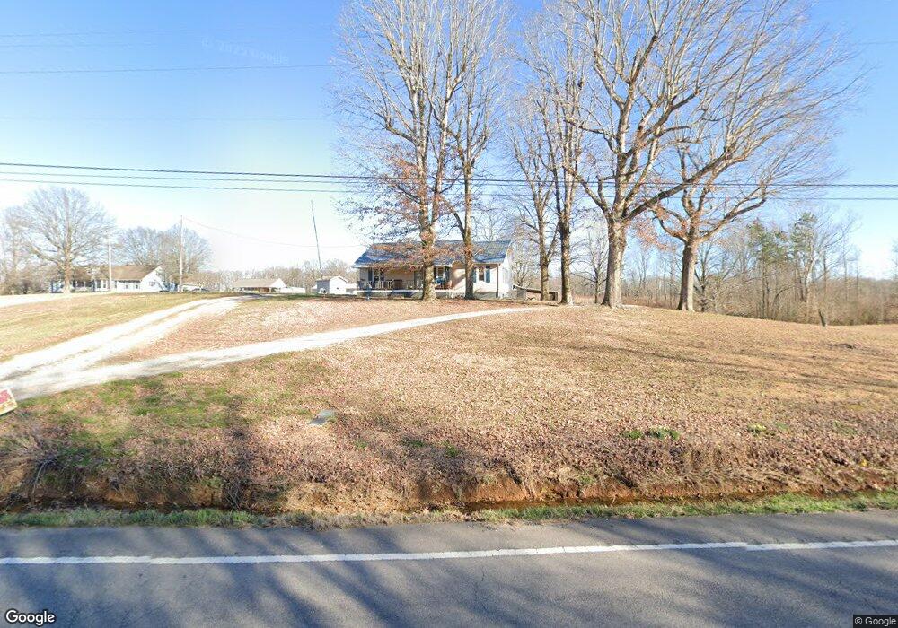
996 W Point Rd Lawrenceburg, TN 38464
Estimated Value: $171,000 - $301,985
--
Bed
1
Bath
1,144
Sq Ft
$205/Sq Ft
Est. Value
About This Home
This home is located at 996 W Point Rd, Lawrenceburg, TN 38464 and is currently estimated at $234,496, approximately $204 per square foot. 996 W Point Rd is a home located in Lawrence County with nearby schools including David Crockett Elementary School, Ingram Sowell Elementary School, and Lawrenceburg Public Elementary School.
Ownership History
Date
Name
Owned For
Owner Type
Purchase Details
Closed on
May 1, 2020
Sold by
Shaffer Leldon
Bought by
Shaffer Leldon and Shaffer Joan
Current Estimated Value
Purchase Details
Closed on
May 13, 1998
Sold by
Billy Robertson
Bought by
Hoooper James E
Purchase Details
Closed on
Apr 20, 1998
Sold by
Leldon Shaffer
Bought by
Billy Robertson
Purchase Details
Closed on
Jan 2, 1998
Sold by
Billy Robertson
Bought by
Henleyjames R
Purchase Details
Closed on
Dec 1, 1997
Sold by
Leldon Shaffer
Bought by
Billy Robertson
Purchase Details
Closed on
Jun 20, 1996
Sold by
Billy Robertson
Bought by
Billy Robertson
Purchase Details
Closed on
Jul 1, 1987
Bought by
Shaffer Leldon
Create a Home Valuation Report for This Property
The Home Valuation Report is an in-depth analysis detailing your home's value as well as a comparison with similar homes in the area
Home Values in the Area
Average Home Value in this Area
Purchase History
| Date | Buyer | Sale Price | Title Company |
|---|---|---|---|
| Shaffer Leldon | -- | None Available | |
| Hoooper James E | $80,600 | -- | |
| Billy Robertson | $19,366 | -- | |
| Henleyjames R | $76,200 | -- | |
| Billy Robertson | $29,000 | -- | |
| Billy Robertson | $1,000 | -- | |
| Shaffer Leldon | -- | -- |
Source: Public Records
Tax History Compared to Growth
Tax History
| Year | Tax Paid | Tax Assessment Tax Assessment Total Assessment is a certain percentage of the fair market value that is determined by local assessors to be the total taxable value of land and additions on the property. | Land | Improvement |
|---|---|---|---|---|
| 2025 | $599 | $29,775 | $0 | $0 |
| 2024 | $599 | $29,775 | $15,050 | $14,725 |
| 2023 | $599 | $29,775 | $15,050 | $14,725 |
| 2022 | $611 | $30,375 | $15,650 | $14,725 |
| 2021 | $604 | $20,425 | $12,700 | $7,725 |
| 2020 | $604 | $43,000 | $35,275 | $7,725 |
| 2019 | $604 | $20,425 | $12,700 | $7,725 |
| 2018 | $604 | $20,425 | $12,700 | $7,725 |
| 2017 | $604 | $20,425 | $12,700 | $7,725 |
| 2016 | $604 | $20,425 | $12,700 | $7,725 |
| 2015 | $559 | $20,425 | $12,700 | $7,725 |
| 2014 | $504 | $18,400 | $11,725 | $6,675 |
Source: Public Records
Map
Nearby Homes
- 0 Hoyt Dr
- 47 Long Branch Rd
- 0 Long Branch Rd
- 112 Oakdale Dr
- 876 W Point Rd
- 528 W Point Rd
- 1610 Hilltop Dr
- 303 Shady Ln
- 1800 Grandaddy Rd
- 1814 Grandaddy Rd
- 307 Stribling Rd
- 1708 Deer Hollow Dr
- 309 Stella Ave
- 0 Devin St
- 307 Stella Ave
- 499 Pettus St
- 415 Bumpas Rd
- 411 Bumpas Rd
- 109 Fairway Dr
- 347 Waterloo Rd