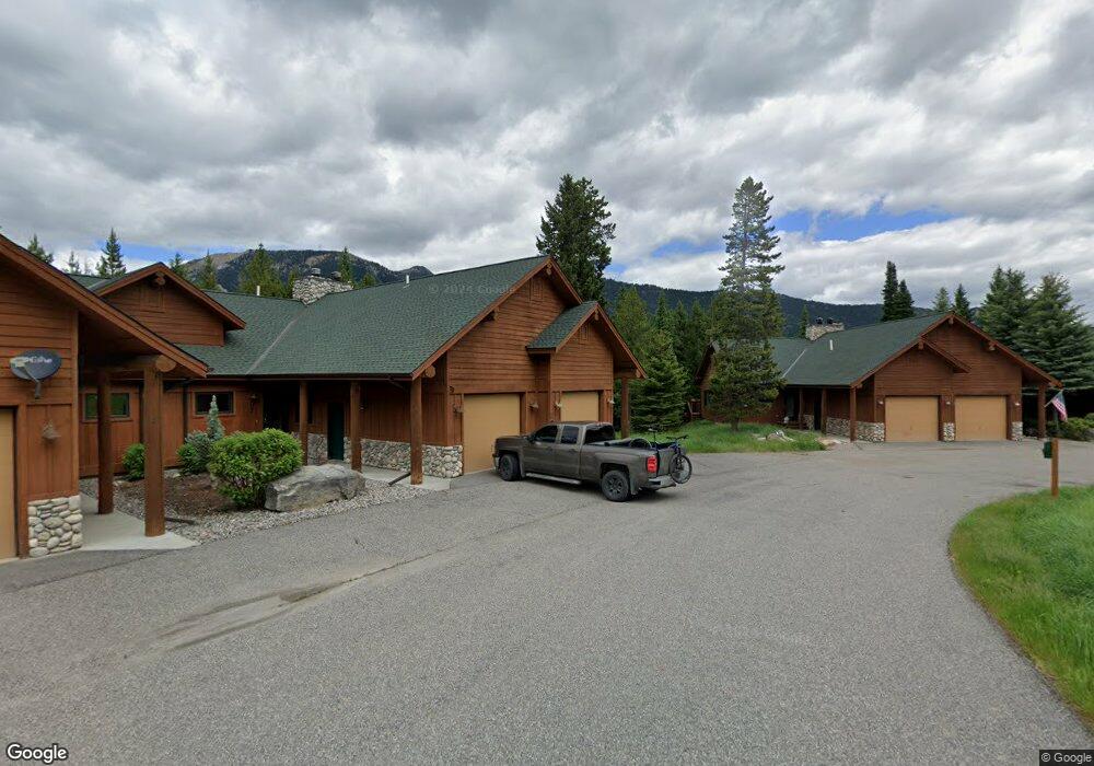
B2 Blue Spruce Way Big Sky, MT 59716
Big Sky NeighborhoodEstimated Value: $1,051,000 - $1,300,000
3
Beds
2
Baths
2,016
Sq Ft
$599/Sq Ft
Est. Value
About This Home
This home is located at B2 Blue Spruce Way, Big Sky, MT 59716 and is currently estimated at $1,206,722, approximately $598 per square foot. B2 Blue Spruce Way is a home located in Gallatin County with nearby schools including Ophir Elementary School, Ophir Junior High School, and Lone Peak High School.
Ownership History
Date
Name
Owned For
Owner Type
Purchase Details
Closed on
Dec 5, 2018
Sold by
Baker Rob L and Baker Rhonda M
Bought by
Rossier Todd and Rossier Kelsey
Current Estimated Value
Home Financials for this Owner
Home Financials are based on the most recent Mortgage that was taken out on this home.
Original Mortgage
$436,500
Outstanding Balance
$383,059
Interest Rate
4.8%
Mortgage Type
New Conventional
Estimated Equity
$823,663
Purchase Details
Closed on
Jun 16, 2015
Sold by
Ttt Willow Bar Llc
Bought by
Torgerson Rocky L
Create a Home Valuation Report for This Property
The Home Valuation Report is an in-depth analysis detailing your home's value as well as a comparison with similar homes in the area
Home Values in the Area
Average Home Value in this Area
Purchase History
| Date | Buyer | Sale Price | Title Company |
|---|---|---|---|
| Rossier Todd | -- | First American Title Co | |
| Torgerson Rocky L | -- | None Available |
Source: Public Records
Mortgage History
| Date | Status | Borrower | Loan Amount |
|---|---|---|---|
| Open | Rossier Todd | $436,500 |
Source: Public Records
Tax History Compared to Growth
Tax History
| Year | Tax Paid | Tax Assessment Tax Assessment Total Assessment is a certain percentage of the fair market value that is determined by local assessors to be the total taxable value of land and additions on the property. | Land | Improvement |
|---|---|---|---|---|
| 2025 | $5,863 | $1,626,400 | $0 | $0 |
| 2024 | $4,260 | $967,600 | $0 | $0 |
| 2023 | $4,322 | $952,900 | $0 | $0 |
| 2022 | $3,419 | $523,200 | $0 | $0 |
| 2021 | $3,335 | $523,200 | $0 | $0 |
| 2020 | $3,373 | $464,100 | $0 | $0 |
| 2019 | $3,131 | $464,100 | $0 | $0 |
| 2018 | $2,644 | $359,500 | $0 | $0 |
| 2017 | $2,553 | $359,500 | $0 | $0 |
| 2016 | $2,791 | $323,700 | $0 | $0 |
| 2015 | $2,768 | $323,700 | $0 | $0 |
| 2014 | $2,860 | $217,406 | $0 | $0 |
Source: Public Records
Map
Nearby Homes
- 32 Rose Hip Unit N-3
- 45 Turkey Leg Rd Unit 1027
- 45 Turkey Leg Rd Unit 1049
- 178 Pine Cone Terrace
- TBD Gray Owl Ln
- TBD Silverado Trail
- TBD Little Coyote Rd
- 725 Sand Hill Rd
- 15 Spotted Fawn
- 27 Antler Drop Ct
- 58 Upper Moose Hill Rd
- 458 Big Pine Dr
- 105 Nordic Ln
- 214 W Pine Cone Terrace
- 167 Nordic Ln
- 525 Fourpoint Rd
- 670 Big Pine Dr
- 680 Big Pine Dr
- 313 Spruce Cone Dr
- 80 Aspen Leaf Dr Unit 7
- C4 Blue Spruce Way
- 45 Blue Spruce Way
- 10 Lone Camp Rd
- 6 Chief Gull Rd
- 65 Blue Spruce Way
- 35 Blue Spruce
- 35 Blue Spruce Unit C-1
- Blue Spruce Way Unit C-1
- 55 Blue Spruce Way Unit E3
- 55 Blue Spruce Way
- 3 Blue Spruce Way
- 21 Rose Hip Circle
- 2 Blue Spruce Way
- 21 Rose Hip Cir
- 27 Rose Hip Cir
- 388 Sunburst Dr
- 382 Sunburst Dr L-1
- 25 Blue Spruce Way Unit B-4
- 25 Blue Spruce Way Unit B-2
- 25 Blue Spruce Way Unit B-1