E2341 Sandy Ridge Rd Wausau, WI 54403
Estimated Value: $485,000 - $741,000
--
Bed
--
Bath
--
Sq Ft
2.15
Acres
About This Home
This home is located at E2341 Sandy Ridge Rd, Wausau, WI 54403 and is currently estimated at $592,075. E2341 Sandy Ridge Rd is a home located in Marathon County with nearby schools including Hewitt-Texas Elementary School, Horace Mann Middle School, and East High School.
Ownership History
Date
Name
Owned For
Owner Type
Purchase Details
Closed on
Apr 18, 2022
Sold by
J. Peterson Andrew and N. Lexi
Bought by
K. Rossow Jeffrey
Current Estimated Value
Purchase Details
Closed on
Jun 24, 2016
Sold by
Dakota Land Company Llc
Bought by
Peterson Andrew J and Peterson Lexi N
Home Financials for this Owner
Home Financials are based on the most recent Mortgage that was taken out on this home.
Original Mortgage
$54,900
Interest Rate
2.87%
Mortgage Type
Adjustable Rate Mortgage/ARM
Purchase Details
Closed on
Mar 28, 2008
Sold by
Sickler Rick R and Sickler Chad M
Bought by
Dakota Land Co Llc
Create a Home Valuation Report for This Property
The Home Valuation Report is an in-depth analysis detailing your home's value as well as a comparison with similar homes in the area
Home Values in the Area
Average Home Value in this Area
Purchase History
| Date | Buyer | Sale Price | Title Company |
|---|---|---|---|
| K. Rossow Jeffrey | $653,000 | Rebecca L. Pilgrim, Runkel Abs | |
| Peterson Andrew J | $61,000 | Attorney | |
| Dakota Land Co Llc | -- | None Available | |
| Sickler Rick R | -- | None Available |
Source: Public Records
Mortgage History
| Date | Status | Borrower | Loan Amount |
|---|---|---|---|
| Previous Owner | Peterson Andrew J | $54,900 |
Source: Public Records
Tax History Compared to Growth
Tax History
| Year | Tax Paid | Tax Assessment Tax Assessment Total Assessment is a certain percentage of the fair market value that is determined by local assessors to be the total taxable value of land and additions on the property. | Land | Improvement |
|---|---|---|---|---|
| 2024 | $7,293 | $321,100 | $21,500 | $299,600 |
| 2023 | $7,499 | $321,100 | $21,500 | $299,600 |
| 2022 | $6,654 | $321,100 | $21,500 | $299,600 |
| 2021 | $6,244 | $321,100 | $21,500 | $299,600 |
| 2020 | $6,213 | $321,100 | $21,500 | $299,600 |
| 2019 | $5,643 | $291,900 | $21,500 | $270,400 |
| 2018 | $665 | $37,900 | $21,500 | $16,400 |
| 2017 | $424 | $21,500 | $21,500 | $0 |
| 2016 | $428 | $21,500 | $21,500 | $0 |
| 2015 | $424 | $21,500 | $21,500 | $0 |
| 2014 | $418 | $21,500 | $21,500 | $0 |
Source: Public Records
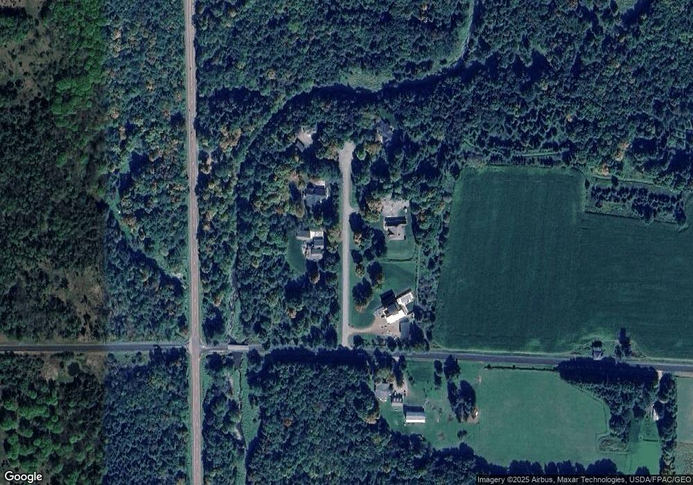
Map
Nearby Homes
- 232558 Wellborn Rd Unit 232550 Wellborn Road
- 157471 Land Art Rd
- 1707 Woodbury Pkwy Unit Lot 24
- 1705 Stark St
- 1309 Sell St
- 1308 Brown St
- 1209 Augusta Ave Unit 1211
- 2101 Eagle Valley Ln
- 1104 Gilbert St
- 1509 Fulton St
- 1704 Eagle Valley Ln
- 3222 N 12th St
- 1010 Gilbert St
- 1903 Statesman Dr
- 316 Independence Ln
- 903 Parcher St
- 818 E Union Ave
- 1815 Woodland Ridge Rd
- 501 Aspen Grove Ln
- 814 Park Ave
- T9575 N 25th St
- T12969 Shady Lane Rd
- T12930 N 57th St
- T5780 Little Trappe Rd
- T124 Granite Heights Rd
- T4458 County Rd W
- T5370 Blue Rock Ct
- T5375 Blue Rock Ct
- T5220 N Troy St
- T7450 County Rd W
- H8755 Woodland Rd
- H9724 Woodland Rd
- H18280 Landing Rd
- H10949 County Road J
- H19626 Deer Rd
- H13986 County Road G
- H11548 County Road G
- T13721 Shady Lane Rd
- T15367 Shady Lane Rd
- 012 Confidential Ln