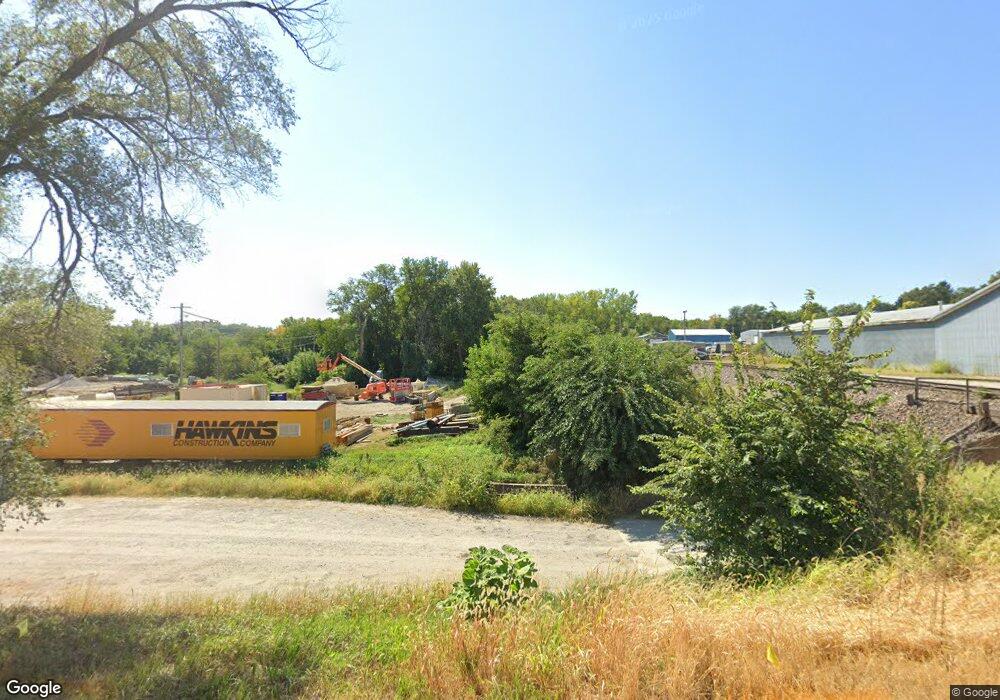
Lot 1097 C Plattsmouth, NE 68048
Estimated Value: $30,000 - $265,000
--
Bed
--
Bath
--
Sq Ft
0.26
Acres
About This Home
This home is located at Lot 1097 C, Plattsmouth, NE 68048 and is currently estimated at $147,500. Lot 1097 C is a home located in Cass County with nearby schools including Conestoga Elementary School and Conestoga Junior/Senior High School.
Ownership History
Date
Name
Owned For
Owner Type
Purchase Details
Closed on
Nov 6, 2024
Sold by
Keckler Jace R and Keckler Angela S
Bought by
Ditter Jerry R and Walker Nicholas L
Current Estimated Value
Purchase Details
Closed on
Mar 7, 2017
Sold by
Keckler Tracy S and Keckler Joni L
Bought by
Keckler Jace R
Purchase Details
Closed on
Dec 18, 2009
Sold by
Strawn John G
Bought by
Strawn John G
Purchase Details
Closed on
Mar 31, 2004
Sold by
Hamilton Larry
Bought by
Strawn John
Purchase Details
Closed on
Mar 30, 2001
Sold by
Steven and White Barbara White
Bought by
Hamilton Larry
Create a Home Valuation Report for This Property
The Home Valuation Report is an in-depth analysis detailing your home's value as well as a comparison with similar homes in the area
Home Values in the Area
Average Home Value in this Area
Purchase History
| Date | Buyer | Sale Price | Title Company |
|---|---|---|---|
| Ditter Jerry R | $15,000 | None Listed On Document | |
| Keckler Jace R | -- | None Available | |
| Strawn John G | -- | -- | |
| Strawn John | $2,500 | -- | |
| Hamilton Larry | $4,000 | -- |
Source: Public Records
Tax History Compared to Growth
Tax History
| Year | Tax Paid | Tax Assessment Tax Assessment Total Assessment is a certain percentage of the fair market value that is determined by local assessors to be the total taxable value of land and additions on the property. | Land | Improvement |
|---|---|---|---|---|
| 2024 | $294 | $26,390 | $26,390 | $0 |
| 2023 | $310 | $23,167 | $23,167 | $0 |
| 2022 | $349 | $24,325 | $24,325 | $0 |
| 2021 | $121 | $8,144 | $8,144 | $0 |
| 2020 | $116 | $7,574 | $7,574 | $0 |
| 2019 | $38 | $2,352 | $2,352 | $0 |
| 2018 | $38 | $2,352 | $2,352 | $0 |
| 2017 | $38 | $2,352 | $2,352 | $0 |
| 2016 | $36 | $2,352 | $2,352 | $0 |
| 2015 | $36 | $2,352 | $2,352 | $0 |
| 2014 | $41 | $2,352 | $2,352 | $0 |
Source: Public Records
Map
Nearby Homes
- 9019 Bellvue Dr
- 9012 Murray Dr
- 8617 12th Ave
- 1812 Beaver Lake Blvd
- 2206 Beaver Lake Blvd
- 1928 Beaver Lake Blvd
- 8611 12th Ave
- 8515 12th Ave
- 8883 Verdon Cir
- 8887 Verdon Cir
- 8520 Lake Ridge Dr
- 2018 Murray Rd
- 2114 Murray Rd
- 914 Beaver Lake Blvd
- 1782 Lake Ridge Dr
- 9010 Monroe Rd
- 819 Mead Ct
- 1818 Lake Ridge Dr
- 1797 Lake Ridge Dr
- 1831 Lake Ridge Dr
- Lot 1097 C
- 1275 Beaver Ct
- 8721 12th Ave
- 8709 12th Ave
- 8655 12th Ave
- 8623 12th Ave
- 8617 12th Ave
- 8613 12th Ave
- 8818 12th Ave
- 8908 Bellvue Dr
- 1218 Beaver Ct
- 1212 Beaver Ct
- 1306 Beaver Lake Blvd
- 1307 Beaver Lake Blvd
- 8825 12th Ave
- 1209 Murray Point
- 8911 Bellvue Dr
- Lot 4E Beaver
- Lot 354B Beaver
- 1207 Murray Point
