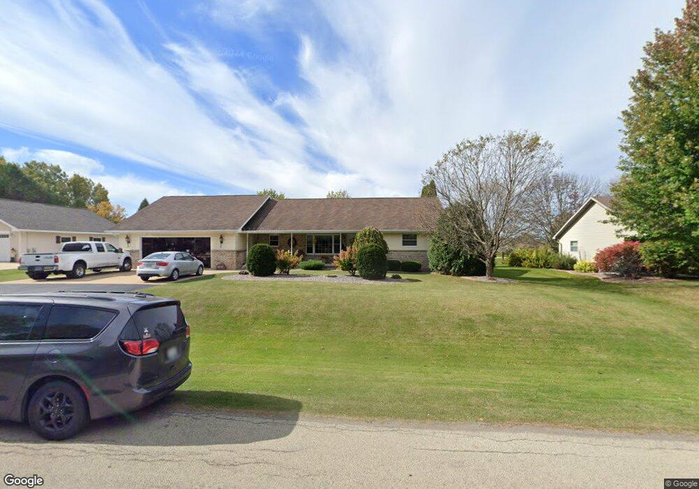
N185 Debruin Rd Kaukauna, WI 54130
Estimated Value: $295,000 - $414,452
--
Bed
--
Bath
--
Sq Ft
0.91
Acres
About This Home
This home is located at N185 Debruin Rd, Kaukauna, WI 54130 and is currently estimated at $363,613. N185 Debruin Rd is a home with nearby schools including River View School, Kaukauna High School, and New Directions Learning Community.
Ownership History
Date
Name
Owned For
Owner Type
Purchase Details
Closed on
Apr 14, 2023
Sold by
Janssen Janice F
Bought by
Janssen Family Holdings Llc
Current Estimated Value
Purchase Details
Closed on
Nov 25, 2019
Sold by
Joel Janssen F and Joel B
Bought by
Janssen Janice F
Purchase Details
Closed on
Mar 1, 2005
Sold by
Janssen Gail E and Janssen Janice F
Bought by
Date Janssen F and Date B/O Joel E Lisa Janssen
Create a Home Valuation Report for This Property
The Home Valuation Report is an in-depth analysis detailing your home's value as well as a comparison with similar homes in the area
Home Values in the Area
Average Home Value in this Area
Purchase History
| Date | Buyer | Sale Price | Title Company |
|---|---|---|---|
| Janssen Family Holdings Llc | $340,000 | Stewart Title Company | |
| Janssen Janice F | -- | -- | |
| Janssen Janice F | -- | -- | |
| Date Janssen F | $44,000 | -- | |
| Janssen Gail E E Janice F | $220,000 | -- |
Source: Public Records
Tax History Compared to Growth
Tax History
| Year | Tax Paid | Tax Assessment Tax Assessment Total Assessment is a certain percentage of the fair market value that is determined by local assessors to be the total taxable value of land and additions on the property. | Land | Improvement |
|---|---|---|---|---|
| 2023 | $4,309 | $382,300 | $44,900 | $337,400 |
| 2022 | $4,304 | $353,900 | $44,900 | $309,000 |
| 2021 | $4,626 | $313,000 | $34,400 | $278,600 |
| 2020 | $4,757 | $290,100 | $34,400 | $255,700 |
| 2019 | $4,475 | $265,700 | $34,400 | $231,300 |
| 2018 | $4,292 | $244,400 | $34,400 | $210,000 |
| 2017 | $4,153 | $224,700 | $39,000 | $185,700 |
| 2016 | $4,035 | $224,700 | $39,000 | $185,700 |
| 2015 | $3,972 | $224,700 | $39,000 | $185,700 |
| 2014 | $3,964 | $224,700 | $39,000 | $185,700 |
| 2013 | $3,950 | $224,700 | $39,000 | $185,700 |
Source: Public Records
Map
Nearby Homes
- N176 Debruin Rd
- 592 Cornrow Ln
- W2286 Valleywood Ln
- W2313 Saint Germaine Ct
- W5318 Amy Ave
- 1207 Saunders Rd
- 3005 Crooks Ave
- W2429 Holly Ln
- W5445 Colin St
- 708 Westfield St
- 2200 Sullivan Ave
- 435 Roger St
- W2512 Buchanan Rd
- W2567 Ridgebrook Ct
- 213 Fairway St
- N9537 Handel Dr
- 406 E 20th St
- 107 Lamine Ln
- 213 E 17th St
- 216 E 17th St
- N193 Debruin Rd
- N181 Debruin Rd
- N164 Debruin Rd
- N155 Debruin Rd
- N155 Debruin Rd
- N214 Debruin Rd
- N214 Debruin Rd
- N214 Debruin Rd
- N214 Debruin Rd
- N145 Debruin Rd
- N127 Debruin Rd
- 4301 Springcrest Dr
- 4275 Springcrest Dr
- 4321 Springcrest Dr
- 4251 Springcrest Dr
- 4351 Springcrest Dr
- 4381 Springcrest Dr
- 4401 Springcrest Dr
- 761 Tarragon Dr
- 691 Lemongrass Way