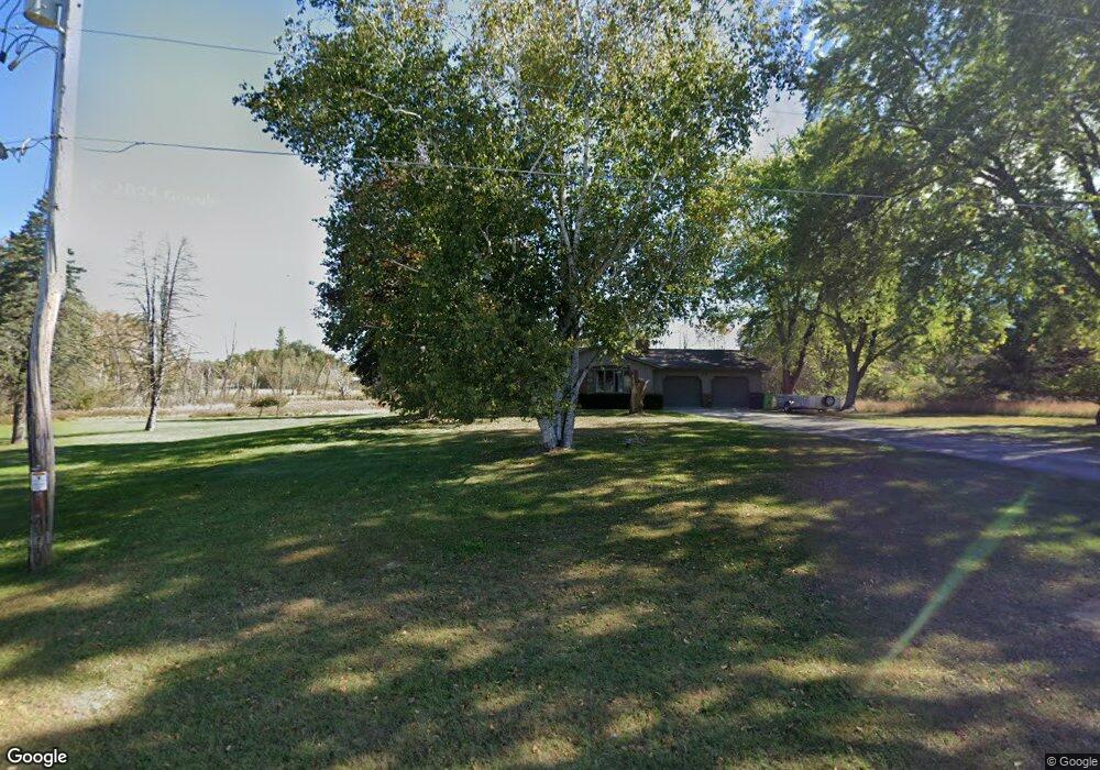
N3517 Knight Rd New London, WI 54961
Estimated Value: $456,422 - $476,000
3
Beds
2
Baths
2,790
Sq Ft
$167/Sq Ft
Est. Value
About This Home
This home is located at N3517 Knight Rd, New London, WI 54961 and is currently estimated at $465,474, approximately $166 per square foot. N3517 Knight Rd is a home located in Waupaca County with nearby schools including Parkview Elementary School, New London Middle School, and New London High School.
Ownership History
Date
Name
Owned For
Owner Type
Purchase Details
Closed on
Mar 5, 2014
Sold by
Rhode Lisa M
Bought by
Rhode Dustin J
Current Estimated Value
Purchase Details
Closed on
Dec 14, 2011
Sold by
Frederick Michael J and Frederick Katherine V
Bought by
Rhode Dustin J and Rhode Lisa M
Home Financials for this Owner
Home Financials are based on the most recent Mortgage that was taken out on this home.
Original Mortgage
$193,703
Interest Rate
3.99%
Mortgage Type
New Conventional
Purchase Details
Closed on
Sep 26, 2008
Sold by
Jones Thomas L and Jones Virginia M
Bought by
Frederick Michael J and Frederick Katherine
Home Financials for this Owner
Home Financials are based on the most recent Mortgage that was taken out on this home.
Original Mortgage
$140,000
Interest Rate
4.99%
Mortgage Type
Adjustable Rate Mortgage/ARM
Create a Home Valuation Report for This Property
The Home Valuation Report is an in-depth analysis detailing your home's value as well as a comparison with similar homes in the area
Home Values in the Area
Average Home Value in this Area
Purchase History
| Date | Buyer | Sale Price | Title Company |
|---|---|---|---|
| Rhode Dustin J | $600 | None Available | |
| Rhode Dustin J | $199,900 | None Available | |
| Frederick Michael J | $182,000 | None Available |
Source: Public Records
Mortgage History
| Date | Status | Borrower | Loan Amount |
|---|---|---|---|
| Previous Owner | Rhode Dustin J | $193,703 | |
| Previous Owner | Frederick Michael J | $140,000 |
Source: Public Records
Tax History Compared to Growth
Tax History
| Year | Tax Paid | Tax Assessment Tax Assessment Total Assessment is a certain percentage of the fair market value that is determined by local assessors to be the total taxable value of land and additions on the property. | Land | Improvement |
|---|---|---|---|---|
| 2024 | $3,796 | $321,500 | $55,800 | $265,700 |
| 2023 | $3,796 | $321,500 | $55,800 | $265,700 |
| 2022 | $2,571 | $182,400 | $33,100 | $149,300 |
| 2021 | $2,995 | $182,400 | $33,100 | $149,300 |
| 2020 | $2,989 | $182,400 | $33,100 | $149,300 |
| 2019 | $2,919 | $182,400 | $33,100 | $149,300 |
| 2018 | $2,773 | $182,400 | $33,100 | $149,300 |
| 2017 | $3,260 | $182,400 | $33,100 | $149,300 |
| 2016 | $3,136 | $182,400 | $33,100 | $149,300 |
| 2015 | $3,351 | $182,400 | $33,100 | $149,300 |
| 2014 | $3,141 | $182,400 | $33,100 | $149,300 |
| 2013 | $3,260 | $182,400 | $33,100 | $149,300 |
Source: Public Records
Map
Nearby Homes
- 2093 Abbey Rd
- 1975 Penny Ln
- 1605 Cedarhurst Dr
- 1931 Southland Ln
- 1930 Southland Ln
- 1835 Southland Ln
- 1801 Southland Ln
- 610 W Pine St
- 1802 Nassau St
- 102 E Cameron St
- 1010 Smith St
- 903 Smith St
- 1420 Division St
- 803 W North Water St
- 1011 Lawrence St
- 200 W Beacon Ave
- 0 Shawano St Unit 50295803
- 0 Shawano St Unit 50257475
- 1109 Algoma St
- 408 Wallace St
- N3518 Knight Rd
- N3520 Knight Rd
- N3506 Knight Rd
- N3530 Knight Rd
- N3529 Knight Rd
- N3584 Knight Rd
- N3578 Knight Rd
- E8890 Dey Rd
- 0 Knight Rd Unit 50149105
- N3592 Knight Rd
- N3546 Knight Rd
- E8844 Dey Rd
- N3556 Knight Rd
- N3539 Knight Rd
- N3585 Knight Rd
- N3589 Knight Rd
- E8813 Dey Rd
- N3543 Knight Rd
- E8820 Dey Rd
- N3549 Knight Rd