N4818 Moss Rd Iron Ridge, WI 53035
Estimated Value: $329,000 - $521,000
--
Bed
--
Bath
--
Sq Ft
8.14
Acres
About This Home
This home is located at N4818 Moss Rd, Iron Ridge, WI 53035 and is currently estimated at $426,121. N4818 Moss Rd is a home located in Dodge County with nearby schools including Hartford High School and St. Matthew Lutheran School.
Ownership History
Date
Name
Owned For
Owner Type
Purchase Details
Closed on
Nov 30, 2007
Sold by
Held Steven R
Bought by
Siebenlist Paul J and Siebenlist Jennifer E
Current Estimated Value
Home Financials for this Owner
Home Financials are based on the most recent Mortgage that was taken out on this home.
Original Mortgage
$170,000
Outstanding Balance
$107,659
Interest Rate
6.31%
Mortgage Type
New Conventional
Estimated Equity
$318,462
Create a Home Valuation Report for This Property
The Home Valuation Report is an in-depth analysis detailing your home's value as well as a comparison with similar homes in the area
Home Values in the Area
Average Home Value in this Area
Purchase History
| Date | Buyer | Sale Price | Title Company |
|---|---|---|---|
| Siebenlist Paul J | $221,400 | None Available |
Source: Public Records
Mortgage History
| Date | Status | Borrower | Loan Amount |
|---|---|---|---|
| Open | Siebenlist Paul J | $170,000 |
Source: Public Records
Tax History Compared to Growth
Tax History
| Year | Tax Paid | Tax Assessment Tax Assessment Total Assessment is a certain percentage of the fair market value that is determined by local assessors to be the total taxable value of land and additions on the property. | Land | Improvement |
|---|---|---|---|---|
| 2024 | $3,253 | $263,300 | $84,800 | $178,500 |
| 2023 | $2,988 | $263,300 | $84,800 | $178,500 |
| 2022 | $3,019 | $263,300 | $84,800 | $178,500 |
| 2021 | $3,025 | $209,700 | $77,800 | $131,900 |
| 2020 | $3,159 | $209,700 | $77,800 | $131,900 |
| 2019 | $3,134 | $209,700 | $77,800 | $131,900 |
| 2018 | $3,170 | $209,700 | $77,800 | $131,900 |
| 2017 | $3,270 | $209,700 | $77,800 | $131,900 |
| 2016 | $3,111 | $194,900 | $77,800 | $117,100 |
| 2015 | $3,178 | $194,900 | $77,800 | $117,100 |
| 2014 | $3,345 | $194,900 | $77,800 | $117,100 |
Source: Public Records
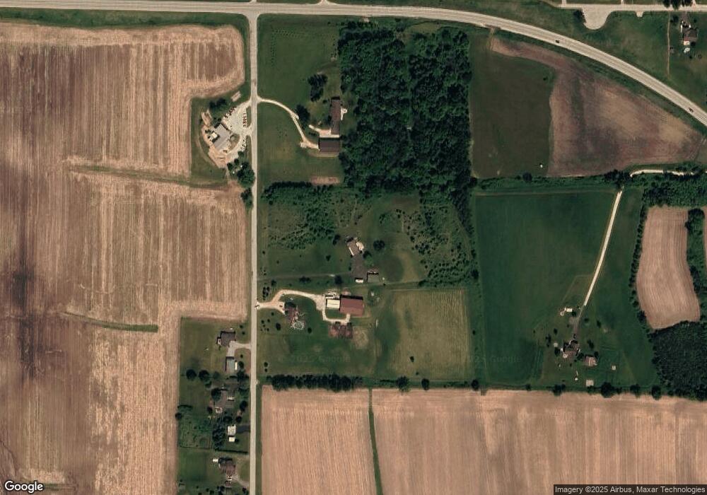
Map
Nearby Homes
- N5413 County Rd S
- 0 Burkwald Ave
- 202 East Ave
- 234 Watertower Cir
- Lt1 Lilly Rd
- Lt0 Lilly Rd
- Lt2 Lilly Rd
- Lt0 E Neda Rd
- N4569 Hazelwood Rd
- N4973 Lake Dr
- N4690 Lake Dr
- N4510 & N4504 Anthony Island
- N4510 Anthony Island -
- .68 Acre Parcel Anthony Island
- 222 E Lehman St
- N3220 Hale Rd
- 244 S Ridge St
- 252 S Hustis St
- 441 Sandy Ln
- Lt2 Rolling Hills Dr
- N4814 Moss Rd
- N4872 Moss Rd
- N4805 Moss Rd
- N4797 Moss Rd
- N4855 State Road 67
- N4771 Moss Rd
- N4765 Moss Rd
- W2530 Woodland Rd
- N4755 Moss Rd
- 2525 Woodland Rd
- W2525 Woodland Rd Unit Lot 4
- W2525 Woodland Rd
- W2510 Woodland Rd
- W2515 Woodland Rd
- N4711 Moss Rd
- N4803 State Road 67
- W2482 Woodland Rd
- W2700 State Road 67
- N4779 State Road 67
- N4687 Moss Rd