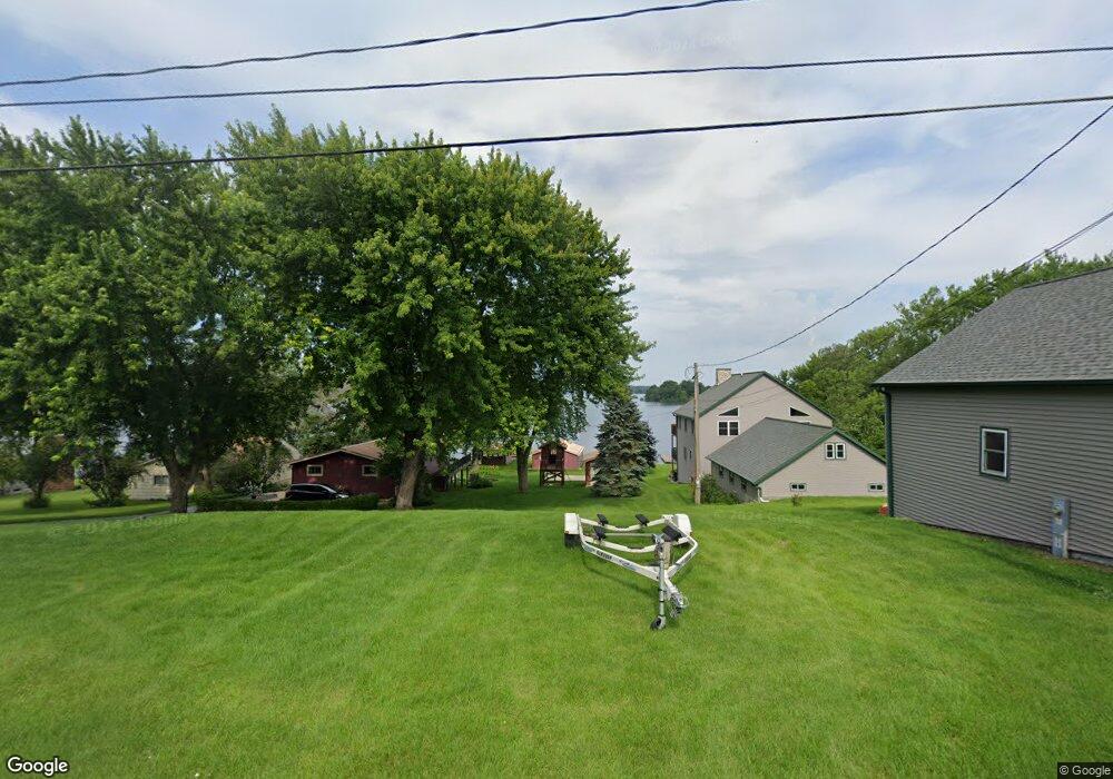
N5187 Wildcat Rd Iron Ridge, WI 53035
Estimated Value: $380,124 - $448,000
--
Bed
--
Bath
--
Sq Ft
0.47
Acres
About This Home
This home is located at N5187 Wildcat Rd, Iron Ridge, WI 53035 and is currently estimated at $424,781. N5187 Wildcat Rd is a home located in Dodge County with nearby schools including John Hustis Elementary School, Hustisford High School, and Bethany Lutheran School.
Ownership History
Date
Name
Owned For
Owner Type
Purchase Details
Closed on
Mar 10, 2022
Sold by
Burge Blaine R and Burge Terry A
Bought by
200 Blaine R and 200 Terry
Current Estimated Value
Purchase Details
Closed on
Apr 1, 2009
Sold by
Burge Blaine R and Burge Terry A
Bought by
Burge Terry A and Burge Blaine R
Home Financials for this Owner
Home Financials are based on the most recent Mortgage that was taken out on this home.
Original Mortgage
$112,000
Interest Rate
4.85%
Mortgage Type
New Conventional
Create a Home Valuation Report for This Property
The Home Valuation Report is an in-depth analysis detailing your home's value as well as a comparison with similar homes in the area
Home Values in the Area
Average Home Value in this Area
Purchase History
| Date | Buyer | Sale Price | Title Company |
|---|---|---|---|
| 200 Blaine R | $5,333 | Langer & Petersen Llc | |
| Burge Terry A | -- | None Available |
Source: Public Records
Mortgage History
| Date | Status | Borrower | Loan Amount |
|---|---|---|---|
| Previous Owner | Burge Terry A | $112,000 |
Source: Public Records
Tax History Compared to Growth
Tax History
| Year | Tax Paid | Tax Assessment Tax Assessment Total Assessment is a certain percentage of the fair market value that is determined by local assessors to be the total taxable value of land and additions on the property. | Land | Improvement |
|---|---|---|---|---|
| 2024 | $3,165 | $209,000 | $77,500 | $131,500 |
| 2023 | $2,950 | $209,000 | $77,500 | $131,500 |
| 2022 | $2,845 | $208,300 | $77,500 | $130,800 |
| 2021 | $3,117 | $208,300 | $77,500 | $130,800 |
| 2020 | $3,360 | $208,300 | $77,500 | $130,800 |
| 2019 | $3,053 | $208,300 | $77,500 | $130,800 |
| 2018 | $2,979 | $208,300 | $77,500 | $130,800 |
| 2017 | $3,208 | $208,300 | $77,500 | $130,800 |
| 2016 | $3,329 | $208,300 | $77,500 | $130,800 |
| 2015 | $3,168 | $208,300 | $77,500 | $130,800 |
| 2014 | $3,250 | $208,300 | $77,500 | $130,800 |
Source: Public Records
Map
Nearby Homes
- N4973 Lake Dr
- Lt38 Sinissippi Point Rd
- N4690 Lake Dr
- N4569 Hazelwood Rd
- N4510 Anthony Island -
- N4510 & N4504 Anthony Island
- N4554 Lakeview Rd
- W4436 E Lakeview Rd
- 827 E Lakeview Rd
- N4557 Lakeview Rd
- 727 E Lakeview Rd Unit 8
- .68 Acre Parcel Anthony Island
- 252 S Hustis St
- 244 S Ridge St
- 441 Sandy Ln
- Lt1 W Horseshoe Rd
- N4550 County Road Dj
- N6436 County Road Tw
- 0 Burkwald Ave
- N5413 County Rd S
- N5187 Wildcat Rd
- 5183 Wildcat Rd
- N5195 Wildcat Rd
- N5179 Wildcat Rd
- N5175 Wildcat Rd
- N5203 Wildcat Rd
- N5169 Wildcat Rd
- n 5207 Wildcat Rd
- N5194 Wildcat Rd
- N5194 Wildcat Rd
- n 5180 Wildcat Rd
- N5180 Wildcat Rd
- N5211 Wildcat Rd
- n 5211 Wildcat Rd
- N5161 Wildcat Rd
- N5174 Wildcat Rd
- N5202 Wildcat Rd
- N5215 Wildcat Rd
- N5166 Wildcat Rd
- N5212 Wildcat Rd