N6703 County Road Ay Iron Ridge, WI 53035
Estimated Value: $478,000 - $776,170
--
Bed
--
Bath
--
Sq Ft
23.55
Acres
About This Home
This home is located at N6703 County Road Ay, Iron Ridge, WI 53035 and is currently estimated at $627,085. N6703 County Road Ay is a home located in Dodge County with nearby schools including Hartford High School.
Ownership History
Date
Name
Owned For
Owner Type
Purchase Details
Closed on
May 31, 2016
Sold by
Smith Gregory J
Bought by
Smith Gregory J and Koob Kimberly L
Current Estimated Value
Home Financials for this Owner
Home Financials are based on the most recent Mortgage that was taken out on this home.
Original Mortgage
$560,000
Outstanding Balance
$465,285
Interest Rate
5%
Mortgage Type
Adjustable Rate Mortgage/ARM
Estimated Equity
$161,800
Purchase Details
Closed on
Apr 12, 2010
Sold by
Smith Gregory J and Smith Liss A
Bought by
Feucht Norbert A and Feucht Louise E
Purchase Details
Closed on
May 23, 2007
Sold by
Feucht Norber A and Feucht Louise E
Bought by
Smith Gregory J and Smith Lisa A
Create a Home Valuation Report for This Property
The Home Valuation Report is an in-depth analysis detailing your home's value as well as a comparison with similar homes in the area
Home Values in the Area
Average Home Value in this Area
Purchase History
| Date | Buyer | Sale Price | Title Company |
|---|---|---|---|
| Smith Gregory J | $158,800 | Town Country Title Llc | |
| Feucht Norbert A | $8,300 | None Available | |
| Smith Gregory J | $8,300 | None Available |
Source: Public Records
Mortgage History
| Date | Status | Borrower | Loan Amount |
|---|---|---|---|
| Open | Smith Gregory J | $560,000 |
Source: Public Records
Tax History Compared to Growth
Tax History
| Year | Tax Paid | Tax Assessment Tax Assessment Total Assessment is a certain percentage of the fair market value that is determined by local assessors to be the total taxable value of land and additions on the property. | Land | Improvement |
|---|---|---|---|---|
| 2024 | $5,329 | $347,700 | $94,200 | $253,500 |
| 2023 | $4,789 | $347,700 | $94,200 | $253,500 |
| 2022 | $4,940 | $347,700 | $94,200 | $253,500 |
| 2021 | $4,828 | $327,700 | $94,200 | $233,500 |
| 2020 | $4,915 | $327,700 | $94,200 | $233,500 |
| 2019 | $5,035 | $327,700 | $94,200 | $233,500 |
| 2018 | $4,943 | $327,700 | $94,200 | $233,500 |
| 2017 | $5,161 | $329,400 | $92,400 | $237,000 |
| 2016 | $4,994 | $329,400 | $92,400 | $237,000 |
| 2015 | $5,362 | $329,400 | $92,400 | $237,000 |
| 2014 | $5,753 | $329,400 | $92,400 | $237,000 |
Source: Public Records
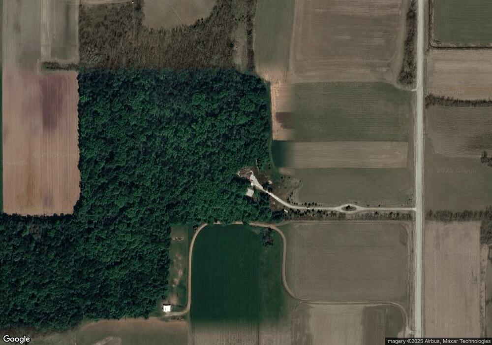
Map
Nearby Homes
- Lt0 E Neda Rd
- 234 Watertower Cir
- 202 East Ave
- 0 Burkwald Ave
- N5413 County Rd S
- 725 Green Bay Dr
- Lt1 Hi View Ct
- 502 Janssen Ave
- N7575 Doyle Rd
- 274 S Walnut St
- Montrose Manor Plan at Grandview Heights
- Isabelle II Plan at Grandview Heights
- Simen Plan at Grandview Heights
- Sarah III Plan at Grandview Heights
- Balmore II Plan at Grandview Heights
- Edinburgh Plan at Grandview Heights
- Lt2 S Clark St
- N6436 County Road Tw
- 117 Taylor St
- 329 Grove St
- N6565 County Road Ay
- N6455 County Road Ay
- W2407 State Road 33
- W1950 Rock Rd
- Lt2 Rock Rd
- W1872 Rock Rd
- W1687 Rock Rd
- W2440 Rock Rd
- W2345 Rock Rd
- W1880 Rock Rd
- N6352 County Road Ay
- W2653 State Road 33
- Lot 2 Madison Rd
- W2435 Rock Rd
- W2466 Rock Rd
- Lt0 Madison Rd Unit Lt0
- 270+/- Ac Madison Rd
- N6697 Madison Rd
- N6615 Madison Rd
- N6986 Dakota Rd