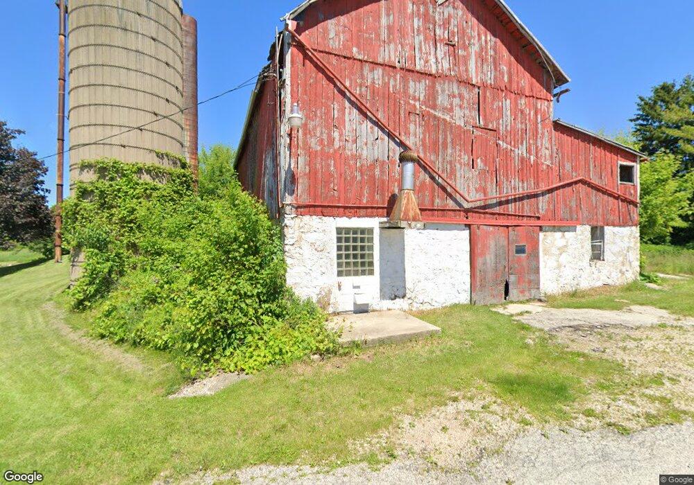
N7192 Dakota Rd Mayville, WI 53050
Estimated Value: $225,633 - $301,000
--
Bed
--
Bath
--
Sq Ft
1.77
Acres
About This Home
This home is located at N7192 Dakota Rd, Mayville, WI 53050 and is currently estimated at $260,408. N7192 Dakota Rd is a home with nearby schools including Hartford High School.
Ownership History
Date
Name
Owned For
Owner Type
Purchase Details
Closed on
Nov 13, 2013
Sold by
Dais John W and Whitney Marilyn J
Bought by
Water Fall Acres Llc
Current Estimated Value
Home Financials for this Owner
Home Financials are based on the most recent Mortgage that was taken out on this home.
Original Mortgage
$46,672
Outstanding Balance
$35,193
Interest Rate
4.59%
Mortgage Type
New Conventional
Estimated Equity
$225,215
Purchase Details
Closed on
Oct 23, 2013
Sold by
Kannenberg Lucinda
Bought by
Kannenberg Justin J
Home Financials for this Owner
Home Financials are based on the most recent Mortgage that was taken out on this home.
Original Mortgage
$46,672
Outstanding Balance
$35,193
Interest Rate
4.59%
Mortgage Type
New Conventional
Estimated Equity
$225,215
Create a Home Valuation Report for This Property
The Home Valuation Report is an in-depth analysis detailing your home's value as well as a comparison with similar homes in the area
Home Values in the Area
Average Home Value in this Area
Purchase History
| Date | Buyer | Sale Price | Title Company |
|---|---|---|---|
| Water Fall Acres Llc | -- | None Available | |
| Dais John W | -- | None Available | |
| Kannenberg Justin J | $50,000 | None Available |
Source: Public Records
Mortgage History
| Date | Status | Borrower | Loan Amount |
|---|---|---|---|
| Open | Kannenberg Justin J | $46,672 |
Source: Public Records
Tax History Compared to Growth
Tax History
| Year | Tax Paid | Tax Assessment Tax Assessment Total Assessment is a certain percentage of the fair market value that is determined by local assessors to be the total taxable value of land and additions on the property. | Land | Improvement |
|---|---|---|---|---|
| 2024 | $1,722 | $121,500 | $53,100 | $68,400 |
| 2023 | $1,512 | $121,500 | $53,100 | $68,400 |
| 2022 | $1,562 | $121,500 | $53,100 | $68,400 |
| 2021 | $1,625 | $121,500 | $53,100 | $68,400 |
| 2020 | $1,692 | $121,500 | $53,100 | $68,400 |
| 2019 | $1,713 | $121,500 | $53,100 | $68,400 |
| 2018 | $1,681 | $121,500 | $53,100 | $68,400 |
| 2017 | $1,477 | $102,700 | $35,200 | $67,500 |
| 2016 | $1,428 | $102,700 | $35,200 | $67,500 |
| 2015 | $1,545 | $102,700 | $35,200 | $67,500 |
| 2014 | $1,794 | $102,700 | $35,200 | $67,500 |
Source: Public Records
Map
Nearby Homes
- Lt1 Hi View Ct
- 725 Green Bay Dr
- N7575 Doyle Rd
- Montrose Manor Plan at Grandview Heights
- Isabelle II Plan at Grandview Heights
- Simen Plan at Grandview Heights
- Sarah III Plan at Grandview Heights
- Balmore II Plan at Grandview Heights
- Edinburgh Plan at Grandview Heights
- Lt0 E Neda Rd
- 234 Watertower Cir
- 274 S Walnut St
- 202 East Ave
- Lt2 S Clark St
- 117 Taylor St
- 0 Burkwald Ave
- 329 Grove St
- 1155 Breckenridge St
- 318 Brookside Dr Unit 1
- 326 Brookside Dr Unit 6
- W1969 Hochheim Rd
- W1998 Hochheim Rd
- W1962 Hochheim Rd
- N7148 County Road Ay
- N7110 Dakota Rd
- W1843 Hochheim Rd
- N7151 County Road Ay
- N7296 County Road Ay
- W1858 Hochheim Rd
- N7044 Dakota Rd
- N7004 Dakota Rd
- N7259 Pierce Rd
- N6986 Dakota Rd
- N7133 Pierce Rd
- N7105 Pierce Rd
- N7091 Pierce Rd
- W1708 Hochheim Rd
- W1667 Hochheim Rd
- N7036 Pierce Rd
- N7060 Pierce Rd