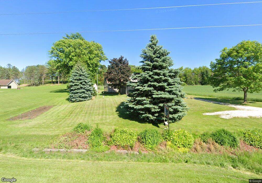
N8050 County Road Ay Mayville, WI 53050
Estimated Value: $275,000 - $426,000
--
Bed
--
Bath
--
Sq Ft
0.4
Acres
About This Home
This home is located at N8050 County Road Ay, Mayville, WI 53050 and is currently estimated at $340,494. N8050 County Road Ay is a home located in Dodge County with nearby schools including Parkview Elementary School, Mayville Elementary School, and Mayville Junior/Senior High School.
Ownership History
Date
Name
Owned For
Owner Type
Purchase Details
Closed on
Sep 7, 2018
Sold by
Zastrow Mark K and Zastrow Wendy A
Bought by
Kyler James and Kyler Jodi
Current Estimated Value
Home Financials for this Owner
Home Financials are based on the most recent Mortgage that was taken out on this home.
Original Mortgage
$164,900
Outstanding Balance
$143,816
Interest Rate
4.6%
Mortgage Type
New Conventional
Estimated Equity
$196,678
Create a Home Valuation Report for This Property
The Home Valuation Report is an in-depth analysis detailing your home's value as well as a comparison with similar homes in the area
Home Values in the Area
Average Home Value in this Area
Purchase History
| Date | Buyer | Sale Price | Title Company |
|---|---|---|---|
| Kyler James | $194,900 | Abstract & Title Company |
Source: Public Records
Mortgage History
| Date | Status | Borrower | Loan Amount |
|---|---|---|---|
| Open | Kyler James | $164,900 |
Source: Public Records
Tax History Compared to Growth
Tax History
| Year | Tax Paid | Tax Assessment Tax Assessment Total Assessment is a certain percentage of the fair market value that is determined by local assessors to be the total taxable value of land and additions on the property. | Land | Improvement |
|---|---|---|---|---|
| 2024 | $3,037 | $174,100 | $16,300 | $157,800 |
| 2023 | $2,579 | $174,100 | $16,300 | $157,800 |
| 2022 | $2,587 | $174,100 | $16,300 | $157,800 |
| 2021 | $2,782 | $174,100 | $16,300 | $157,800 |
| 2020 | $2,750 | $174,100 | $16,300 | $157,800 |
| 2019 | $2,742 | $174,100 | $16,300 | $157,800 |
| 2018 | $2,687 | $146,300 | $16,300 | $130,000 |
| 2017 | $2,858 | $146,300 | $16,300 | $130,000 |
| 2016 | $2,574 | $146,300 | $16,300 | $130,000 |
| 2015 | $2,829 | $146,300 | $16,300 | $130,000 |
| 2014 | $2,919 | $146,300 | $16,300 | $130,000 |
Source: Public Records
Map
Nearby Homes
- Lt1 Hi View Ct
- 725 Green Bay Dr
- 502 Janssen Ave
- 274 S Walnut St
- 117 Taylor St
- Montrose Manor Plan at Grandview Heights
- Isabelle II Plan at Grandview Heights
- Simen Plan at Grandview Heights
- Sarah III Plan at Grandview Heights
- Balmore II Plan at Grandview Heights
- Edinburgh Plan at Grandview Heights
- 329 Grove St
- Lt2 S Clark St
- 337 S Menomonee St
- 306 S Milwaukee St
- 1155 Breckenridge St
- 318 Brookside Dr Unit 1
- 326 Brookside Dr Unit 6
- 206 Forest St
- N7575 Doyle Rd
- 7961 County Road Ay
- W1989 Allen Rd
- N7961 County Road Ay
- N7923 County Road Ay
- W2012 Racoon Rd
- W2078 Racoon Rd
- W1917 Allen Rd
- W1908 Racoon Rd
- N8134 County Road Ay
- W1898 Racoon Rd
- W2201 County Road Y
- N7836 County Road Ay
- W2032 Gill Rd
- W2040 Gill Rd
- W2364 County Road Y
- N7741 County Road Ay
- W2288 Gill Rd
- W1728 Racoon Rd
- W2302 Gill Rd
- Lt3 Allen Rd