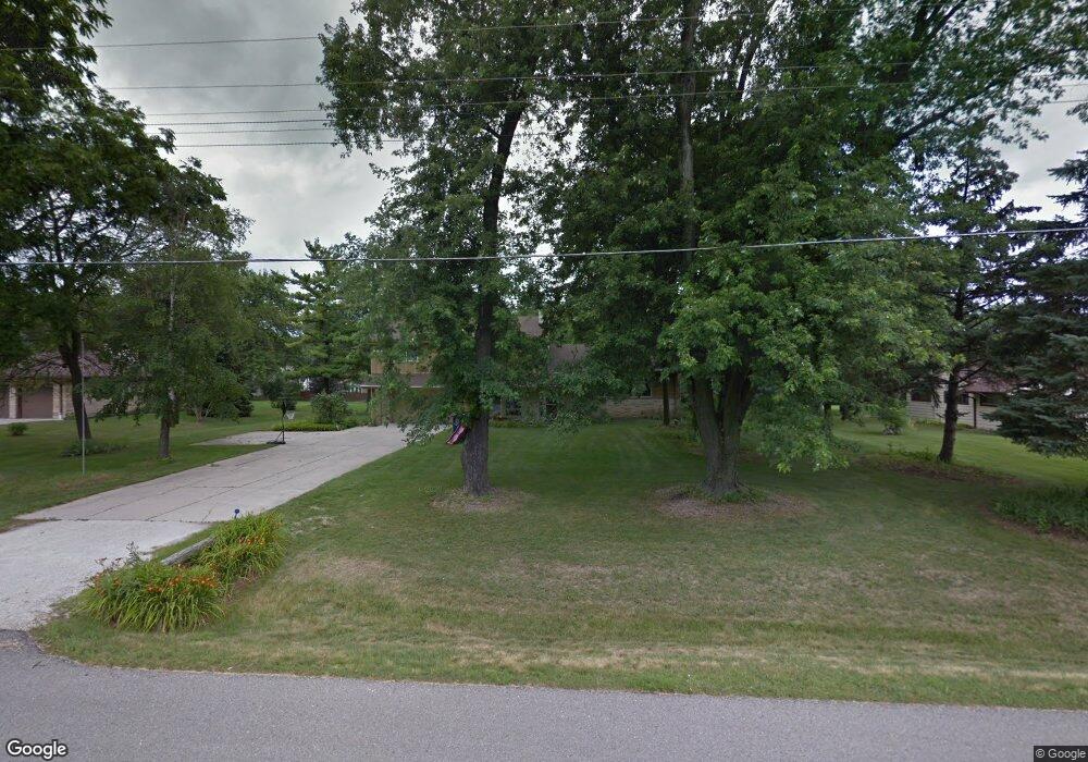
N81W16182 Robinhood Dr Menomonee Falls, WI 53051
Estimated Value: $491,000 - $526,000
4
Beds
3
Baths
2,396
Sq Ft
$210/Sq Ft
Est. Value
About This Home
This home is located at N81W16182 Robinhood Dr, Menomonee Falls, WI 53051 and is currently estimated at $503,724, approximately $210 per square foot. N81W16182 Robinhood Dr is a home located in Waukesha County with nearby schools including Valley View Elementary School, North Middle School, and Menomonee Falls High School.
Ownership History
Date
Name
Owned For
Owner Type
Purchase Details
Closed on
Aug 12, 2009
Sold by
Baker Obrien Darlene J and Baker Darlene J
Bought by
Hathaway Derek R and Hathaway Lauren E
Current Estimated Value
Home Financials for this Owner
Home Financials are based on the most recent Mortgage that was taken out on this home.
Original Mortgage
$60,000
Outstanding Balance
$39,419
Interest Rate
5.36%
Mortgage Type
Purchase Money Mortgage
Estimated Equity
$464,305
Purchase Details
Closed on
Jan 16, 2006
Sold by
Markert David E and Markert Doris A
Bought by
Baker Darlene J
Purchase Details
Closed on
Jan 20, 2004
Sold by
Markert David E and Baker Doris A
Bought by
Markert David E and Markert Doris A
Create a Home Valuation Report for This Property
The Home Valuation Report is an in-depth analysis detailing your home's value as well as a comparison with similar homes in the area
Home Values in the Area
Average Home Value in this Area
Purchase History
| Date | Buyer | Sale Price | Title Company |
|---|---|---|---|
| Hathaway Derek R | $250,000 | Priority Title Corporation | |
| Baker Darlene J | -- | None Available | |
| Markert David E | -- | -- |
Source: Public Records
Mortgage History
| Date | Status | Borrower | Loan Amount |
|---|---|---|---|
| Open | Hathaway Derek R | $60,000 |
Source: Public Records
Tax History Compared to Growth
Tax History
| Year | Tax Paid | Tax Assessment Tax Assessment Total Assessment is a certain percentage of the fair market value that is determined by local assessors to be the total taxable value of land and additions on the property. | Land | Improvement |
|---|---|---|---|---|
| 2024 | $4,664 | $413,300 | $123,800 | $289,500 |
| 2023 | $4,489 | $413,300 | $123,800 | $289,500 |
| 2022 | $4,430 | $275,300 | $85,100 | $190,200 |
| 2021 | $4,240 | $275,300 | $85,100 | $190,200 |
| 2020 | $4,304 | $266,100 | $85,100 | $181,000 |
| 2019 | $4,119 | $266,100 | $85,100 | $181,000 |
| 2018 | $4,329 | $266,100 | $85,100 | $181,000 |
| 2017 | $4,478 | $266,100 | $85,100 | $181,000 |
| 2016 | $4,557 | $266,100 | $85,100 | $181,000 |
| 2015 | $4,565 | $266,100 | $85,100 | $181,000 |
| 2014 | $4,861 | $266,100 | $85,100 | $181,000 |
| 2013 | $4,861 | $266,100 | $85,100 | $181,000 |
Source: Public Records
Map
Nearby Homes
- W163N8459 Arthur Ave
- N84W15750 Ridge Rd Unit 204
- N84W16544 Ann Ave
- N86W16193 Arthur Ave
- N53W19764 Kingair Dr
- N53W19776 Kingair Dr
- N86W16387 Appleton Ave
- N86W16564 Jacobson Dr
- N84W15170 Knoll Terrace
- W174N8125 Shady Ln Unit 1
- N79W17331 Bluejay Ct Unit 1
- W175N8080 Robin Cir Unit 1
- W155N7481 Pebble Ct
- Lt101 Main St
- Lt54 Main St
- Lt8 Main St
- Lt53 Main St
- Lt57 Main St
- Lt13 Main St
- Lt87 Main St
- N81W16140 Robinhood Dr
- N81W16222 Robinhood Dr
- N82W16159 Pine Tree Ct
- N81W16258 Robinhood Dr
- N81W16100 Robinhood Dr
- N81W16201 Robinhood Dr
- N82W16121 Pine Tree Ct
- W162N8217 Tamarack Ct
- N81W16145 Robinhood Dr
- N81W16292 Robinhood Dr
- N81W16223 Robinhood Dr
- N81W16101 Robinhood Dr
- N81W16060 Robinhood Dr
- W161N8237 Pine Tree Ct
- W162N8236 Tamarack Ct
- W160N8218 Pine Tree Ct
- W162N8223 Tamarack Ct
- N81W16277 Robinhood Dr
- N81W16059 Robinhood Dr
- N81W16328 Robinhood Dr