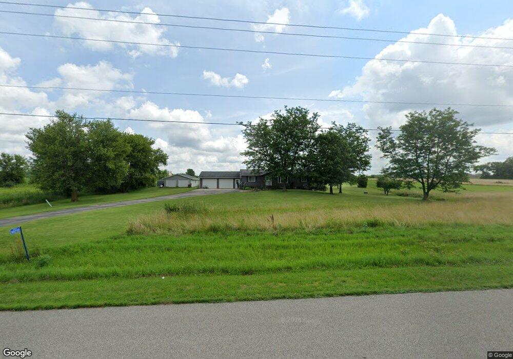
N8210 High Rd Watertown, WI 53094
Estimated Value: $386,000 - $435,000
--
Bed
--
Bath
--
Sq Ft
3.54
Acres
About This Home
This home is located at N8210 High Rd, Watertown, WI 53094 and is currently estimated at $400,878. N8210 High Rd is a home located in Jefferson County with nearby schools including Watertown High School, eCampus Academy Charter School, and Trinity-St. Luke's Lutheran Elementary School.
Create a Home Valuation Report for This Property
The Home Valuation Report is an in-depth analysis detailing your home's value as well as a comparison with similar homes in the area
Home Values in the Area
Average Home Value in this Area
Tax History Compared to Growth
Tax History
| Year | Tax Paid | Tax Assessment Tax Assessment Total Assessment is a certain percentage of the fair market value that is determined by local assessors to be the total taxable value of land and additions on the property. | Land | Improvement |
|---|---|---|---|---|
| 2024 | $3,326 | $355,400 | $107,900 | $247,500 |
| 2023 | $3,122 | $210,600 | $65,400 | $145,200 |
| 2022 | $3,253 | $210,600 | $65,400 | $145,200 |
| 2021 | $3,156 | $210,600 | $65,400 | $145,200 |
| 2020 | $3,209 | $210,600 | $65,400 | $145,200 |
| 2019 | $3,026 | $210,600 | $65,400 | $145,200 |
| 2018 | $2,908 | $210,600 | $65,400 | $145,200 |
| 2017 | $3,064 | $210,600 | $65,400 | $145,200 |
| 2016 | $3,003 | $210,600 | $65,400 | $145,200 |
| 2015 | $2,974 | $210,600 | $65,400 | $145,200 |
| 2014 | $2,736 | $206,300 | $74,400 | $131,900 |
| 2013 | $2,865 | $206,300 | $74,400 | $131,900 |
Source: Public Records
Map
Nearby Homes
- 0 E Confidential St Unit 1889932
- Lt0 Gateway Dr
- Lot 2 Reichart Ln
- Lot 1 Reichart Ln
- 908 Franklin St
- N8002 County Road A
- 1507 S 10th St
- 1418 S 9th St
- 1314 Waldron St
- 1313 Utah St
- 131 Cedar Ct
- 758 Johnson St
- 750 Johnson St
- The Saybrook Plan at Rock River Ridge
- The Atwater Plan at Rock River Ridge
- The Hudson Plan at Rock River Ridge
- The Coral Plan at Rock River Ridge
- The Drake Plan at Rock River Ridge
- The Addison Plan at Rock River Ridge
- The Bradford Plan at Rock River Ridge
- N8205 High Rd
- N8215 High Rd
- N8167 High Rd
- N8266 High Rd
- W4114 Ebenezer Dr
- N8143 High Rd
- N8107 High Rd
- W4182 Ebenezer Dr
- N8322 High Rd
- N8259 Airport Rd
- N8259 Airport Rd
- W4085 Ebenezer Dr
- 21 Acres Airport Rd Ebenezer Road Rd
- 21 Acres Airport Rd Ebenezer Rd
- 21 Acres Airport Rd Ebenezer Rd
- N8166 Airport Rd
- N8090 High Rd
- N8140 Airport Rd
- N8319 Airport Rd
- N8170 Airport Rd